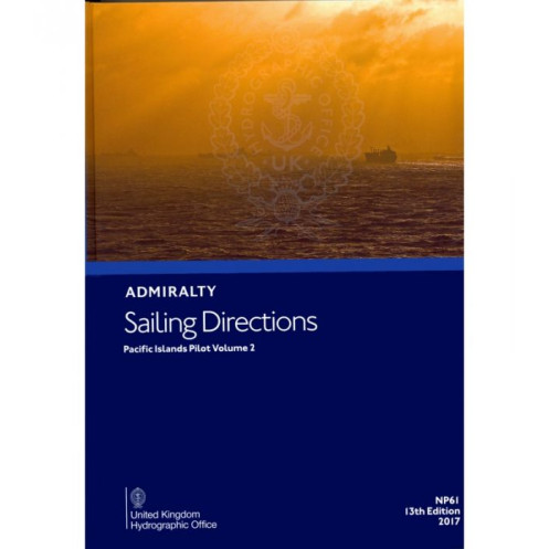





Essential digital guide for Pacific voyages, covering New Caledonia, Vanuatu, and the Loyalty Islands. Includes port approaches, hazards, and weather insights.
Annual Windows license.
Data sheet
Specific References
Navigate the vast and challenging waters of the Pacific with confidence using this comprehensive digital sailing guide. Designed for merchant mariners and offshore vessels, this publication delivers critical navigation insights for safe and efficient voyages. Covering key regions from New Caledonia to the Santa Cruz Islands, it ensures you have the most up-to-date information at your fingertips.
Whether you're navigating commercial routes or exploring remote Pacific islands, this digital sailing guide is an indispensable tool for ensuring safety and efficiency. Its detailed, reliable data supports decision-making in even the most complex maritime environments, making it a must-have for any serious navigator.
Master the Pacific with Precision Navigation Data
Unlock the secrets of the Pacific Islands with this essential digital sailing guide, tailored for professional mariners and offshore vessels. Offering unparalleled insights into one of the world’s most complex maritime regions, this publication ensures safe and efficient navigation through detailed, up-to-date information. Whether you're charting a course through New Caledonia’s lagoons or navigating the remote waters of Vanuatu, this guide provides the critical data you need to avoid hazards and optimize your voyage.
Engineered for Professional Use
This 2017 edition is meticulously crafted to support merchant mariners, delivering a wealth of information in a digital format that’s both accessible and reliable. Covering longitudes from 180° to 160°W and latitudes from 20°N to 25°S, it includes everything from port entry procedures to coastal navigation strategies, buoyage systems, and meteorological data. The guide also features full-color photographs and visual aids, enhancing your ability to interpret and respond to real-world conditions at sea.
Seamless Integration with Your Navigation Tools
Designed to complement Admiralty’s standard nautical charts, this digital publication is part of a global series spanning 74 volumes, ensuring consistent and comprehensive coverage. Its digital format is optimized for Windows 7 and later versions, providing a user-friendly experience that reduces clutter and streamlines access to critical information. Licensed for individual annual use, it offers flexibility and convenience for maritime professionals who demand the highest standards of accuracy and reliability.
Built for the Demands of Modern Navigation
The Pacific Islands present unique challenges, from unpredictable weather patterns to intricate coastal geography. This guide addresses these challenges head-on, offering detailed pilotage instructions, port regulations, and facility information to support every phase of your journey. Whether you're approaching a busy commercial port or a remote anchorage, you’ll have the confidence to navigate with precision, backed by the most trusted name in maritime navigation.
This digital sailing guide is a 2017 edition, offering comprehensive coverage of the Pacific Islands between longitudes 180° to 160°W and latitudes 20°N to 25°S. Designed for Windows 7 and later versions, it operates under an individual annual license, ensuring secure and up-to-date access. The publication is available exclusively in English and includes full-color photographs and visual aids to enhance navigation accuracy.
For over two centuries, this organization has been the gold standard in maritime navigation, providing sailors and mariners with the most accurate and reliable nautical information available. Their publications are trusted by professional navigators worldwide, offering unparalleled precision and depth to ensure safe and efficient voyages across the globe’s most challenging waters.
This volume covers New Caledonia, the Loyalty Islands, Vanuatu, the Banks and Torres Islands, the Santa Cruz Islands, and other Pacific regions between 180° and 160°W, and latitudes from approximately 20°N to 25°S.
No, this digital version is only compatible with Windows 7 and later operating systems.
The product is sold under an individual annual license, which requires renewal every year.
These sailing directions are designed for merchant navigators operating all types of ocean-going vessels.
Yes, the volume includes color photos and views to assist with navigation and port approaches.
Yes, once downloaded, the product can be accessed offline, but it requires a valid license for use.
The volume includes details on port entry procedures, local regulations, pilotage information, and available facilities.
You might also like






































































![Admiralty - eNP054 - Sailing directions: North Sea [West]](https://www.nautic-way.com/80626-home_default/admiralty-enp054-sailing-directions-north-sea-west-maritime-bookshop-nautic-way.jpg)
![Admiralty - eNP055 - Sailing directions: North Sea [East]](https://www.nautic-way.com/90870-home_default/admiralty-enp055-sailing-directions-north-sea-east-maritime-bookshop-nautic-way.jpg)




























