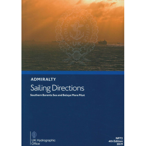





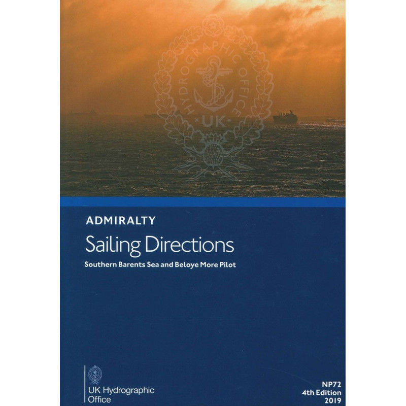
Essential digital sailing directions for safe navigation in the Barents Sea and White Sea, covering hazards, weather, port regulations, and pilotage. Updated weekly for accuracy.
Data sheet
Specific References
Navigate the Arctic with Precision Using This Digital Sailing Directions Guide
Master the complexities of the Barents Sea and White Sea with this essential digital navigation resource. Designed for commercial vessels and maritime professionals, this guide provides unparalleled insights into one of the world’s most challenging maritime environments. Covering Russia’s northern coastlines from Reka Vor’yema to Mys Belyy Nos, including the Yugorskiy Shar Strait, it delivers critical data for safe and efficient passage planning in Arctic waters.
Real-Time Updates for Unmatched Accuracy
Stay ahead of the curve with weekly Electronic Notices to Mariners (NMs) that ensure your navigation data is always current. This digital format eliminates the need for manual corrections, saving time and reducing the risk of errors. Updates take just seconds, allowing your crew to focus on what matters most—safe and efficient navigation. Compatible with Windows 7 and later, this guide is optimized for modern shipboard systems, ensuring seamless integration into your existing workflow.
Comprehensive Data for Every Phase of Your Voyage
From detailed descriptions of coastal hazards and navigational marks to localized weather patterns and ice reports, this guide covers every aspect of Arctic navigation. It includes step-by-step instructions for entering ports, port regulations, pilotage requirements, and berthing facilities, ensuring smooth operations at every stage of your journey. The guide also provides geographic coordinates spanning latitudes 63°N to 72°N and longitudes 28°E to 62°E, enabling precise route planning and execution.
Trusted by Maritime Professionals Worldwide
Backed by the expertise of the United Kingdom Hydrographic Office, this sailing directions guide is a trusted resource for merchant fleets navigating the Arctic. Its digital format ensures immediate access to the latest edition, eliminating shipping delays and ensuring you always have the most up-to-date information at your fingertips. Whether you’re transiting the Northern Sea Route or calling at Russian Arctic ports, this guide equips your crew with the knowledge needed to navigate safely and efficiently.
This digital sailing directions guide provides comprehensive coverage of the Barents Sea and White Sea, including Russia’s northern coastlines from Reka Vor’yema to Mys Belyy Nos. It features real-time updates via weekly Electronic Notices to Mariners (NMs), ensuring your navigation data is always current. Compatible with Windows 7 and later, the guide includes detailed information on hazards, navigational marks, weather patterns, port regulations, and berthing facilities. Geographic coordinates span latitudes 63°N to 72°N and longitudes 28°E to 62°E, making it an indispensable tool for Arctic navigation.
The United Kingdom Hydrographic Office is a globally recognized authority in maritime safety and navigation. With a legacy of providing accurate and reliable nautical data, their publications are trusted by commercial fleets, naval forces, and maritime professionals worldwide. Their digital sailing directions and charts are designed to meet the highest standards of precision and usability, ensuring safe and efficient voyages in even the most challenging waters.
The publication covers the coasts of the Russian Federation from Reka Vor'yema to Mys Belyy Nos, including the Yugorskiy Shar Strait and the White Sea (Beloye More), spanning latitudes 63°N to 72°N and longitudes 28°E to 62°E.
This digital publication is compatible with Windows 7 and later versions only.
Updates are provided weekly through electronic Notices to Mariners (NMs), taking just a few seconds to apply.
This publication is designed primarily for deep-sea merchant vessels.
Yes, once downloaded, the publication can be used offline for passage planning onboard.
The guide includes details on port regulations, available facilities, and step-by-step entry guides for ports within the covered area.
The 2014 edition is the 3rd edition, while the 2019 edition is the updated 4th edition. Both provide the same core information but may include revisions and updated navigational data.
You might also like






































































![Admiralty - eNP054 - Sailing directions: North Sea [West]](https://www.nautic-way.com/80626-home_default/admiralty-enp054-sailing-directions-north-sea-west-maritime-bookshop-nautic-way.jpg)
![Admiralty - eNP055 - Sailing directions: North Sea [East]](https://www.nautic-way.com/90870-home_default/admiralty-enp055-sailing-directions-north-sea-east-maritime-bookshop-nautic-way.jpg)




























