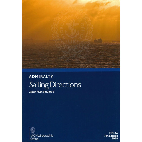





Navigate Japan’s southern waters with confidence using this digital guide for Shikoku, Honshu, and Nanpo Shoto. Includes hazards, weather, port rules, and pilotage insights for seamless voyages.
Data sheet
Specific References
Navigate Japan’s intricate coastal waters with confidence using this comprehensive digital sailing directions guide. Designed for merchant mariners and professional navigators, this publication delivers critical pilotage information for the southern coasts of Shikoku and Honshu, as well as the Nanpo Shoto islands. Whether you're charting a course through busy shipping lanes or planning a precise port entry, this guide ensures you have the most accurate and up-to-date data at your fingertips.
This digital edition covers a vast maritime region, including:
Part of a global series of 74 volumes, this guide complements Admiralty charts, offering a complete navigational toolkit for safe and efficient voyages.
Enhance your situational awareness with a wealth of practical information, including:
Streamline your port calls with detailed information on:
This digital publication is engineered for reliability and ease of use, compatible exclusively with Windows 7 and later versions. The intuitive interface allows for quick access to information, making it an indispensable tool for navigators who demand accuracy and efficiency. Whether you're on the bridge or planning a voyage, this guide ensures you have the most relevant data in a format designed for professional use.
In the fast-paced world of maritime navigation, having the right information at the right time can make all the difference. This publication is trusted by mariners worldwide for its:
Equip your vessel with the knowledge needed to navigate Japan’s waters safely and efficiently. This digital sailing directions guide is more than just a publication—it’s your partner in maritime excellence.
Navigate Japan’s Coastal Waters with Unmatched Precision
This digital sailing directions guide is an indispensable resource for mariners operating in Japan’s southern coastal regions. Designed to complement nautical charts, it provides in-depth pilotage information for the southern coasts of Shikoku and Honshu, as well as the Nanpo Shoto islands. Whether you're a merchant mariner, a professional navigator, or a vessel operator, this guide ensures you have the critical data needed to navigate safely and efficiently in one of the world’s busiest maritime zones.
Trusted by Mariners Worldwide for Over a Century
Part of a globally recognized series of 74 volumes, this publication is relied upon by professional navigators for its accuracy, comprehensiveness, and reliability. Updated in 2020, it reflects the latest navigational data, ensuring you have access to the most current information available. The digital format allows for seamless integration into your onboard systems, providing quick access to essential details without the bulk of traditional paper publications.
Engineered for Professional Use on Windows Platforms
Optimized for compatibility with Windows 7 and later versions, this digital guide is designed for ease of use in professional maritime environments. The intuitive interface allows for efficient searches, making it simple to find the information you need, when you need it. Whether you're planning a voyage or navigating in real-time, this publication ensures you have the tools to make informed decisions quickly and confidently.
Comprehensive Data for Safe and Efficient Navigation
This guide goes beyond basic navigational charts by providing detailed insights into hazards, buoyage systems, meteorological conditions, and port regulations. It includes color photographs and panoramic views to help identify key landmarks, as well as step-by-step pilotage instructions for complex areas. With information on port facilities, customs procedures, and local maritime laws, this publication is your complete resource for navigating Japan’s waters with confidence.
This digital sailing directions guide provides essential navigational data for Japan’s southern coastal regions, including Shikoku, Honshu, and the Nanpo Shoto islands. Published in 2020, it is available in English and compatible exclusively with Windows 7 and later versions. The digital format ensures easy access to up-to-date information, including color photographs, panoramic views, navigation hazards, buoyage details, meteorological data, and port regulations.
With a legacy spanning over two centuries, this brand is a global leader in maritime navigation and hydrographic services. Renowned for its precision, reliability, and comprehensive coverage, its publications are trusted by mariners, shipping companies, and naval forces worldwide. The brand’s commitment to accuracy and innovation ensures that navigators have access to the most up-to-date and detailed information, making it an essential partner for safe and efficient maritime operations.
This volume covers the southern coast of Shikoku from Komo Saki to Kanda Saki, the southern coast of Honshu from Hi-no Misaki to Taito Saki, and the Nanpo Shoto islands.
No, this digital publication is only compatible with Windows 7 and later versions.
It includes color photographs, panoramic views, navigation hazards, buoyage systems, meteorological data, pilotage details, port regulations, facility information, and entry guides.
Yes, once downloaded, the publication can be accessed offline on compatible Windows devices.
It requires a Windows 7 or later operating system. No additional hardware specifications are provided.
Yes, it provides details on port facilities, including regulations and entry guides for the covered regions.
Yes, a paper version of this publication is also available.
You might also like





































































![Admiralty - eNP054 - Sailing directions: North Sea [West]](https://www.nautic-way.com/80626-home_default/admiralty-enp054-sailing-directions-north-sea-west-maritime-bookshop-nautic-way.jpg)
![Admiralty - eNP055 - Sailing directions: North Sea [East]](https://www.nautic-way.com/90870-home_default/admiralty-enp055-sailing-directions-north-sea-east-maritime-bookshop-nautic-way.jpg)





























