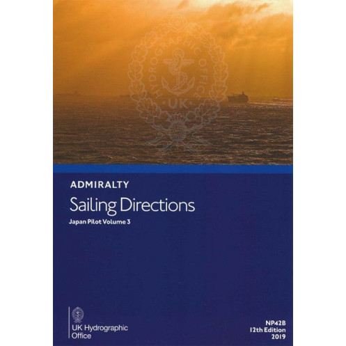





Essential for safe voyages in Japan’s Seto Inland Sea, this digital guide provides hazards, weather, port rules, and pilotage details. Windows-ready and English-language with clear images.
Data sheet
Specific References
Navigate the intricate waters of Japan’s Seto Naikai (Inland Sea) with confidence using this comprehensive digital sailing direction. Designed for merchant mariners operating all types of ocean-going vessels, this volume delivers critical insights to ensure safe and efficient passage through one of the world’s most trafficked and scenic maritime regions. Whether you’re planning a route, assessing hazards, or preparing for port entry, this guide provides the authoritative data you need to make informed decisions at sea.
This digital edition covers the Seto Naikai, a vital waterway connecting the Pacific Ocean to the Sea of Japan. With detailed descriptions of coastal features, navigational hazards, and local regulations, it serves as an indispensable companion to standard nautical charts. The guide includes:
As part of the global Admiralty Sailing Directions series, this volume upholds the highest standards of accuracy and reliability. It is tailored for professional use, offering:
While nautical charts provide the foundational data for plotting courses, this sailing direction adds a layer of practical, real-world context. It bridges the gap between charted information and on-the-water decision-making, offering insights that are not always visible on maps. Whether you’re navigating congested shipping lanes or exploring lesser-known anchorages, this guide ensures you have the full picture.
This digital edition is engineered for convenience and efficiency. Compatible with Windows 7 and later versions, it allows mariners to:
With a legacy of excellence, this series is relied upon by commercial fleets, naval vessels, and recreational sailors alike. The 11th edition (2016) reflects the most current data available, ensuring that you’re equipped with the knowledge to navigate safely and efficiently. Whether you’re a seasoned captain or a first-time visitor to Japan’s waters, this sailing direction is your trusted companion for a successful voyage.
Master Japan’s Inland Sea with the Definitive Digital Sailing Direction
Unlock the secrets of the Seto Naikai (Inland Sea) with this essential digital guide, meticulously crafted for mariners navigating one of Japan’s most complex and vital waterways. Part of the globally trusted Sailing Directions series, this volume provides unparalleled insights into the region’s unique challenges, from narrow straits and heavy traffic to shifting weather patterns and local regulations. Whether you’re commanding a merchant vessel, a naval ship, or a private yacht, this guide ensures you have the precise, actionable information needed to navigate with confidence and precision.
Precision Navigation for Every Voyage
This digital edition delivers a wealth of critical data tailored to the Seto Naikai, including detailed coordinates spanning latitudes from 32.9°N to 35°N and longitudes from 130.67°E to 136°E. It offers comprehensive coverage of navigational hazards, such as submerged rocks, strong currents, and restricted zones, alongside clear instructions for safe passage. With up-to-date information on buoys, beacons, and other aids to navigation, mariners can plot their courses with accuracy, avoiding potential dangers and optimizing their routes for efficiency.
Real-World Insights for Professional Mariners
Beyond raw data, this guide provides practical, real-world insights that bridge the gap between charts and on-the-water decision-making. It includes in-depth pilotage instructions for complex passages, such as the Akashi Kaikyō and Kurushima Straits, where precise maneuvering is essential. Detailed meteorological data helps mariners anticipate weather conditions, while regulatory updates ensure compliance with local maritime laws. The guide also features high-quality color photographs and visual aids, enhancing situational awareness and making it easier to identify landmarks and hazards.
Comprehensive Port Guides for Seamless Operations
Navigating into port is made effortless with this guide’s detailed port entries, which cover everything from entry procedures and berthing facilities to local services and emergency contacts. Whether you’re docking in a major hub like Kobe or Osaka or visiting a smaller anchorage, you’ll find the information you need to plan your approach, secure your vessel, and ensure smooth operations. The guide also highlights key facilities, such as fueling stations, repair services, and customs offices, saving time and reducing stress during port calls.
Optimized for Digital Convenience
Designed for modern mariners, this digital edition offers unmatched convenience and accessibility. Compatible with Windows 7 and later versions, it allows for quick searches, easy cross-referencing, and instant access to critical information—no bulky books required. The digital format ensures that you always have the latest navigational intelligence at your fingertips, whether you’re on the bridge, in the chartroom, or planning your voyage ashore. With its user-friendly interface and robust functionality, this guide is an indispensable tool for today’s fast-paced maritime environment.
This digital sailing direction for Japan’s Seto Naikai (Inland Sea) is the 11th edition, published in 2016. It is authored by a leading maritime authority and is available exclusively in English. Designed for use on PCs running Windows 7 or later, this digital edition provides comprehensive coverage of the region, including detailed coordinates, navigational hazards, meteorological data, and port guides. It is part of a global series of 74 volumes, ensuring consistent quality and reliability for mariners worldwide.
With a legacy spanning over two centuries, this publisher is a cornerstone of global maritime navigation. Renowned for its precision, reliability, and innovation, it provides essential tools and data that mariners trust to navigate safely across the world’s oceans. From nautical charts to digital sailing directions, its products are designed to meet the highest standards, ensuring that every voyage is backed by the most accurate and up-to-date information available.
This volume covers the Seto Naikai, also known as the Inland Sea of Japan, including detailed navigational information for this region.
No, this digital edition is only compatible with Windows 7 and later versions.
This edition includes color photographs and high-quality views to assist with navigation and port entry.
Specific updates or revisions between the 2016 and 2022 editions are not detailed, but each edition includes the latest available navigational information at the time of publication.
Yes, it is designed for merchant navigators on all types of ocean-going vessels and provides essential navigation information.
The covered latitudes range from 32.90 to 35.00, and longitudes range from 130.67 to 136.00, encompassing the Seto Naikai region.
Yes, a paper version is available alongside the digital edition.
You might also like

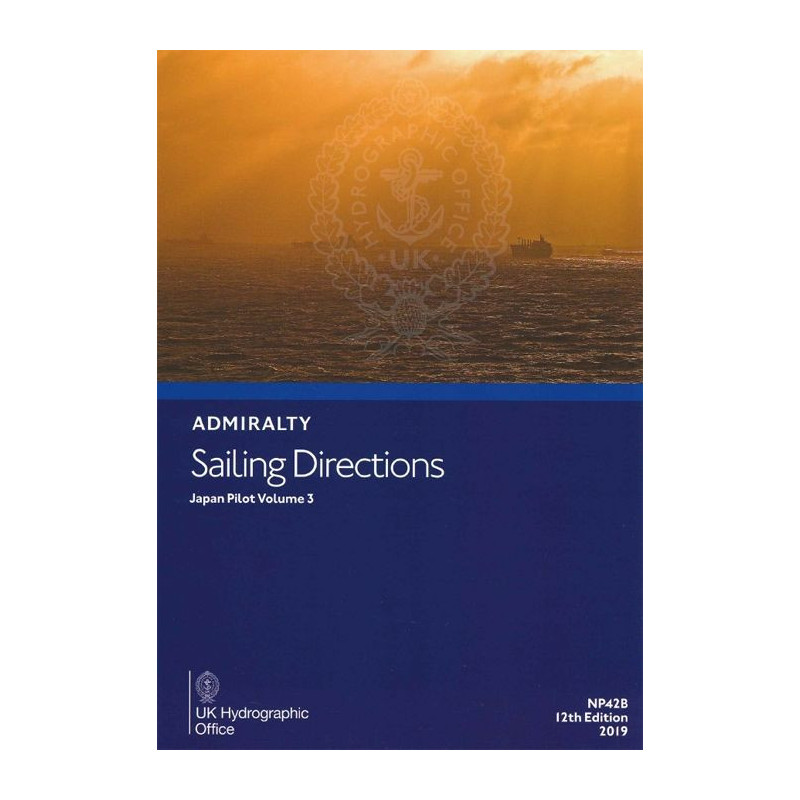




































































![Admiralty - eNP054 - Sailing directions: North Sea [West]](https://www.nautic-way.com/80626-home_default/admiralty-enp054-sailing-directions-north-sea-west-maritime-bookshop-nautic-way.jpg)
![Admiralty - eNP055 - Sailing directions: North Sea [East]](https://www.nautic-way.com/90870-home_default/admiralty-enp055-sailing-directions-north-sea-east-maritime-bookshop-nautic-way.jpg)





























