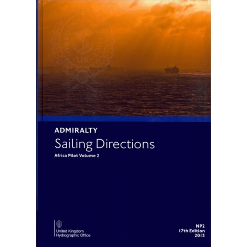





Essential digital sailing directions for Africa’s coasts, covering port entries, hazards, weather, and navigation aids. Updated weekly for accuracy, ideal for safe and efficient voyage planning.
Data sheet
Specific References
Navigate Africa’s coastlines with confidence using this official digital nautical guide, designed for merchant mariners and commercial vessels. Covering critical coastal regions, this publication delivers essential details for safe passage planning, port entries, and hazard avoidance. From Dakar to the Cape of Good Hope, every mile is documented with accuracy, ensuring compliance with maritime regulations and best practices.
This digital guide goes beyond basic charts, offering in-depth insights into pilotage, local navigation rules, and environmental conditions. Access real-time updates on navigational hazards, buoyage systems, and weather patterns, all backed by high-resolution color photographs and panoramic coastal views. Whether navigating busy shipping lanes or remote anchorages, this resource provides the clarity needed to make informed decisions at sea.
Optimized for efficiency, this digital publication updates weekly via Notices to Mariners, ensuring your data is always current. Compatible with Windows 7 and later, it integrates effortlessly into your onboard systems, allowing for quick reference during voyage planning or real-time navigation. No more flipping through printed pages—just instant access to the information you need, when you need it.
Part of a global series of 74 volumes, this guide is a cornerstone of maritime safety, used by professional navigators to enhance situational awareness. Its digital format eliminates the risk of outdated information, providing peace of mind in dynamic maritime environments. From port facilities to tidal streams, every detail is meticulously curated to support safe and efficient voyages along Africa’s diverse coastlines.
Elevate Your Voyage Planning with Africa’s Most Reliable Digital Nautical Guide
Sailing Directions: Africa Vol. 2 is the definitive digital resource for mariners navigating the continent’s western and southern coasts. Designed for commercial vessels, this official publication delivers unparalleled accuracy in coastal navigation, port entry procedures, and hazard identification. With coverage spanning from Senegal to South Africa, it ensures compliance with local maritime regulations while providing real-time updates on navigational risks, weather conditions, and port infrastructure. Whether charting a course through bustling trade routes or remote anchorages, this guide is your trusted companion for safe and efficient voyages.
Precision Data for Every Mile of Your Journey
This digital guide offers more than just basic charts—it’s a comprehensive toolkit for professional mariners. Detailed descriptions of pilotage zones, buoyage systems, and tidal streams are paired with high-resolution color photographs and panoramic coastal views, giving you a clear visual reference for every stretch of coastline. Updated weekly via Notices to Mariners, it guarantees access to the latest navigational warnings, ensuring your voyage is always based on the most current data. Compatible with Windows 7 and later, it integrates seamlessly into your onboard systems, allowing for quick, reliable reference during planning or active navigation.
Built for the Demands of Modern Maritime Operations
Navigating Africa’s coastlines requires more than just charts—it demands a resource that adapts to the dynamic nature of maritime environments. This digital publication is part of a global series of 74 volumes, trusted by mariners worldwide for its accuracy and reliability. From port facilities to local regulations, every detail is meticulously documented to support informed decision-making. Whether you’re a captain, navigator, or maritime professional, this guide provides the clarity and confidence needed to navigate with precision, efficiency, and safety.
This digital nautical guide delivers essential data for coastal navigation along Africa’s western and southern coasts, covering latitudes from 0° to -45° and longitudes from -20° to 20°. Published in 2017, it is available as a downloadable digital format in English, compatible exclusively with Windows 7 and later. Updated weekly via Notices to Mariners, it ensures real-time accuracy for voyage planning and hazard avoidance, with updates applied in seconds for seamless integration into your navigation workflow.
For over two centuries, this organization has set the standard for maritime navigation, providing official nautical publications trusted by mariners worldwide. Specializing in hydrographic data, their digital and print resources are designed to enhance safety, efficiency, and compliance in global maritime operations, making them an indispensable partner for professional navigators.
This volume covers coastal navigation details along specific African coastlines, including latitudes from 0° to 11.15°N and longitudes from 20°W to 20°E.
The instructions are updated weekly through Notices to Mariners to ensure the latest navigational information is available.
This digital publication is compatible with Windows 7 and later versions only.
It includes high-quality color photographs and panoramic views to assist with coastal navigation and port entry.
Updates are applied within a few seconds after downloading the latest Notices to Mariners.
Yes, they are designed for merchant navigators on all types of ocean-going vessels.
Details include port entry procedures, pilotage, regulations, navigational hazards, and available port facilities.
You might also like





































































![Admiralty - eNP054 - Sailing directions: North Sea [West]](https://www.nautic-way.com/80626-home_default/admiralty-enp054-sailing-directions-north-sea-west-maritime-bookshop-nautic-way.jpg)
![Admiralty - eNP055 - Sailing directions: North Sea [East]](https://www.nautic-way.com/90870-home_default/admiralty-enp055-sailing-directions-north-sea-east-maritime-bookshop-nautic-way.jpg)





























