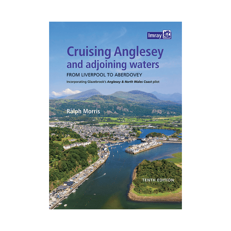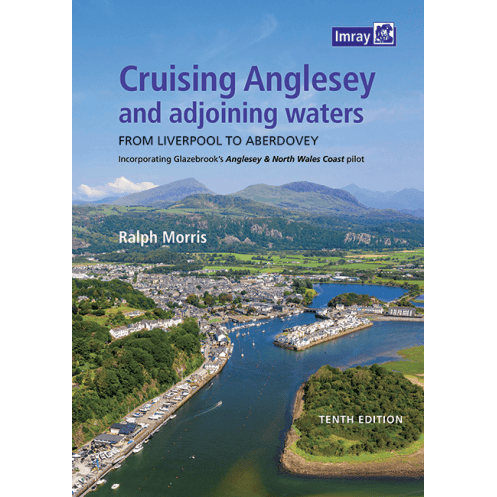




Cruise Anglesey and North Wales with this spiral-bound guide. Includes color charts, tide data, aerial views, and passage planning tools for smooth sailing.
Data sheet
Specific References
Navigate Anglesey and North Wales’ Coastal Waters with Confidence
This essential cruising guide is your ultimate resource for exploring one of the UK’s most stunning and challenging sailing regions. Covering the waters from Liverpool to Aberdovey, including the iconic island of Anglesey, this publication is designed to support boaters with accurate, up-to-date information for safe and enjoyable voyages. Whether you're plotting a course through the Menai Strait or anchoring in a secluded bay, this guide provides the local knowledge and navigational tools you need to make the most of your time on the water.
Built for Sailors, by Sailors
First published over 30 years ago in partnership with the North West Venturers Yacht Club, this guide has been refined through decades of real-world use. The 2021 edition, now in its 10th iteration, reflects the latest advancements in tidal data, cartography, and safety standards. With contributions from experienced sailors and local experts, it offers a level of detail that generic charts simply can’t match. The spiral-bound format ensures durability and ease of use, even in rough conditions, while the full-color maps and aerial views provide unparalleled clarity.
Everything You Need in One Place
This guide doesn’t just help you navigate—it helps you plan, prepare, and stay safe. Inside, you’ll find a revised tidal atlas for Bardsey Sound, summary sheets for passage planning, and directories of local suppliers to keep your vessel stocked and ready. The inclusion of the mandatory SOLAS poster ensures you meet international safety requirements, while original photographs and Google Earth views give you a real-world perspective on harbors, landmarks, and potential hazards. With coverage extending from Porthmadog to Aberdovey, it’s the only resource you’ll need for cruising these waters.
Durable, Practical, and Packed with Insights
Weighing just 960 grams and measuring 295 x 210 x 2 mm, this guide is compact enough to store in your cockpit yet comprehensive enough to cover every aspect of your journey. The 230 pages are filled with practical advice, from tidal streams to anchorage recommendations, making it an indispensable companion for both short trips and extended cruises. Whether you're a weekend sailor or a seasoned navigator, this guide ensures you’re always prepared for whatever the sea throws your way.
This cruising guide is designed for practical use, featuring a spiral-bound format that lays flat for easy reference in the cockpit. With 230 pages of full-color charts, aerial views, and original photographs, it provides comprehensive coverage of Anglesey and the adjoining waters from Liverpool to Aberdovey. The 2021 edition includes updated tidal information, a dedicated tidal atlas for Bardsey Sound, and essential tools like passage planning sheets and supplier directories. Weighing 960 grams and measuring 295 x 210 x 2 mm, it’s built to withstand the demands of life at sea.
With a legacy spanning over a century, this publisher is renowned for producing high-quality nautical charts and cruising guides trusted by sailors worldwide. Their publications combine expert local knowledge with cutting-edge cartography, ensuring boaters have the most accurate and up-to-date information at their fingertips. Each guide is crafted with durability and practicality in mind, making them indispensable tools for safe and enjoyable navigation.
The guide covers the northern coast of Wales, extending from Liverpool Marina to Aberdovey, including Porthmadog and Pwllheli.
Yes, it features a spiral-bound design for easy handling and quick reference while navigating.
Yes, this edition includes revised tidal information and a new tidal atlas for Bardsey Sound.
Yes, it provides aerial views using Google Earth imagery for better visualization of key areas.
It includes summary sheets for passage planning and supplier searches, as well as a mandatory SOLAS poster.
The guide contains 230 pages of detailed nautical information and charts.
No, this edition is only available in English.
You might also like