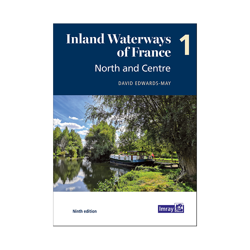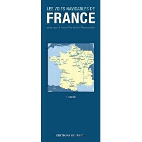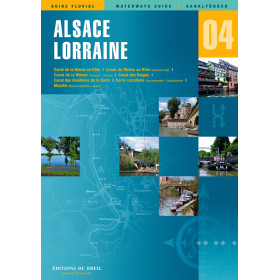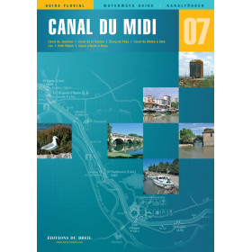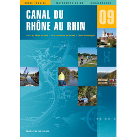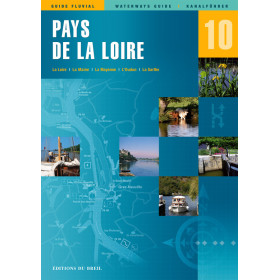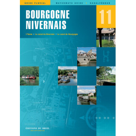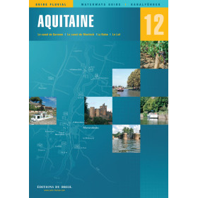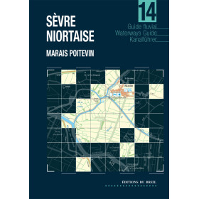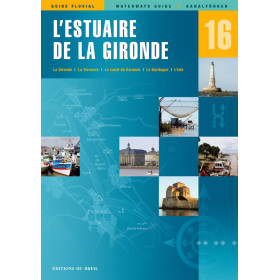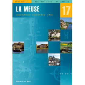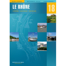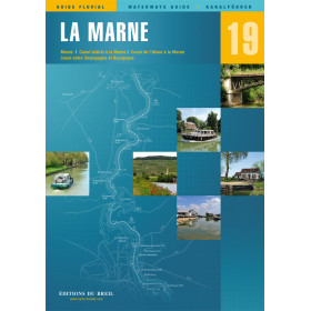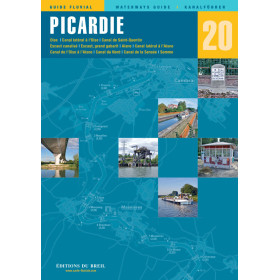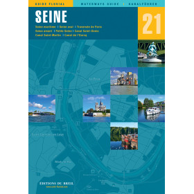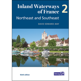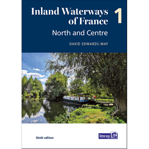




Navigate France’s northern and central waterways with confidence. This guide covers 2,700 km of routes, featuring detailed maps, itineraries, and practical insights for a seamless cruising experience.
Data sheet
Specific References
Unlock the Adventure of France’s Northern and Central Waterways
This essential guide is your passport to exploring over 2,700 kilometers of France’s most iconic inland waterways, from the English Channel through the heart of Paris and into the scenic regions of Burgundy and beyond. Designed for boaters who demand both precision and inspiration, this volume provides everything you need to navigate with confidence, whether you're cruising for a weekend or embarking on an extended voyage. With its ninth edition, this guide has been fully updated to reflect the latest developments in the waterway network, including the highly anticipated Seine-Nord Europe Canal, set to open in 2028.
Comprehensive Coverage for Every Boater
This guide is packed with 200 full-color pages of detailed maps, route descriptions, and practical information tailored specifically for recreational boaters. Each waterway is presented with clear, easy-to-follow charts that highlight key junctions, locks, and mooring spots, ensuring you can navigate even the most complex routes with ease. The guide also includes historical notes and cultural insights, giving you a deeper appreciation for the regions you explore. Whether you're traversing bustling commercial waterways or serene countryside canals, this guide ensures you’re prepared for every aspect of your journey.
Expert Insights from a Trusted Source
Authored by David Edwards-May, a leading authority on European waterways, this guide combines technical expertise with a passion for boating. The ninth edition builds on decades of experience, offering updated information on infrastructure, facilities, and local regulations. The guide’s user-friendly format makes it accessible to boaters of all levels, from beginners to seasoned sailors. With its wealth of practical advice and stunning visuals, this guide is more than just a navigation tool—it’s your companion for discovering the best of France’s inland waterways.
Built for Durability and Convenience
Weighing just 900 grams, this paperback guide is lightweight and easy to handle, making it perfect for use on board. Its compact size ensures it fits comfortably in your boat’s navigation station or backpack, while its durable construction stands up to the rigors of life on the water. The full-color maps and photographs are printed on high-quality paper, ensuring clarity and longevity. Whether you're planning your route at home or referencing it on the go, this guide is designed to be your reliable companion throughout your journey.
This guide offers a wealth of technical and practical information in a compact, easy-to-use format. With 200 full-color pages, it covers over 2,700 kilometers of waterways, including detailed maps, route descriptions, and practical tips for boaters. The ninth edition, published in 2021, is authored by David Edwards-May and weighs just 900 grams, making it a lightweight yet comprehensive resource for navigating France’s northern and central regions.
With a legacy spanning decades, this publisher is renowned for producing high-quality navigation guides and charts for boaters worldwide. Their expertise in maritime and inland waterway navigation is unmatched, offering boaters reliable, up-to-date information that enhances safety and enjoyment on the water. Each guide is crafted with precision, combining technical accuracy with practical insights to meet the needs of both recreational and professional sailors.
This volume covers the inland waterways from the English Channel through northern France, Picardy, Paris, and extending to central France and Burgundy.
Yes, the book includes approximately 200-208 full-color pages with detailed maps, junction charts, and overview maps for each waterway.
Yes, it provides details on the Seine-Nord Europe Canal, including its current construction status and expected completion in 2028.
The guide offers route descriptions, navigational notes, historical context, and practical details such as mooring spots, lock information, and local services.
Yes, it caters to both recreational cruisers and commercial traffic, with insights into busy waterways and popular cruising destinations.
The maps provide precise details of junctions and key sites, including navigational aids, distances, and points of interest for safe and efficient travel.
Yes, it features historical notes on the waterways, offering context on their development and significance in the region.
You might also like