• New
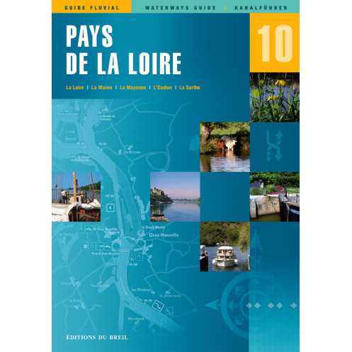
EDB n°10 - Pays de Loire
search
  • googlemap
  • EDB n°10 - Pays de Loire

EDB n°10 - Pays de Loire

€20.95
Editions du Breil
En langue allemande En langue anglaise En langue française
En stock

The “EDB” guides make you discover the vast network of French waterways.

10
2 Items

Data sheet

Annee
dernière édition / last edition
Latitude
47.20195393377756;47.15251390714708;47.22006210155996;47.25004068589684;47.1889999035657;47.140577766758;47.29279649844393;47.28304548664276;47.3388906269218;47.72624475894805;47.77552970767665;47.757580145768;47.85541351273736;48.04207694827672;48.04799260820371;47.94576476326242;47.92251778339372;47.89239496979062;47.85228910884812;47.62720735998614;47.77192692404171;48.09069445991191;48.34158016561371;48.34107518655934;48.1852881296246;47.96358724521914;47.73339088520668;47.58440834466239;47.52968749914668;47.48475479719336;47.42907140587825;47.46764836832243;47.41324476934396;47.23984509636132;47.31958690218679;47.3346802429555;47.30634083526531;47.20195393377756
Longitude
-2.349395786787225;-2.239751677691011;-2.131078275236834;-2.004510025610304;-1.863551902841243;-1.576921427317779;-1.120012306118647;-0.6615393889415355;-0.5110505060611836;-0.2732906506455213;-0.168284956863527;-0.04707502475121972;0.2529060798836347;0.2683762487771113;0.1271278888479044;0.06664716579966257;-0.1474359139748305;-0.3798062789503698;-0.4605244536146425;-0.5975495162705113;-0.5770495092625028;-0.6641608470597948;-0.5209483319487585;-0.6556527833956827;-0.829876645869112;-0.8594375944449917;-0.7751174077760825;-0.7690979190819447;-0.7166932230311829;-0.67899200593734;-0.7151528093386506;-0.9552958268458311;-1.327007959501279;-1.632164240837331;-1.907946129077357;-2.076833253465028;-2.24432613326106;-2.349395786787225
Picto
En langue allemande
En langue anglaise
En langue française

Specific References

ean13
9782913120587
Last items in stock
100% secure payments
Description détaillée

The "EDB" guides are intended for boaters wishing to leave the seaports to discover the vast network of French waterways.

The navigation tips, at the beginning of the guide, give you the gauge of the tracks concerned, the precautions to be taken and all the addresses useful to the navigator. A distance chart shows the transit time between major ports and stops.

For more than twenty years EDB has put together all the good addresses along your route: tourist sites, restaurants and museums. The weekly market day is indicated as well as the dates of the events facing the waterway.

A chapter is devoted to the history of each navigable canal and river, and their exceptional structures are clearly identified.

Precise and detailed cartography, always oriented north / south, is reminiscent of nautical charts. The scale is adapted to the channel concerned, generally 1 / 50,000 for the channels and 1 / 25,000 for the rivers.

The services available in each port along your route are indicated. Each bridge is drawn and the navigable arch identified. The buoys, right and left bank, are identified and the markup plan carefully updated at the time of each new edition, approximately every two years.

Loading...