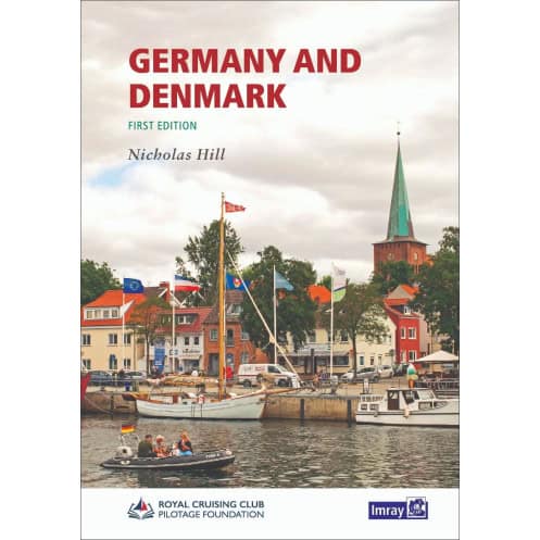




Sail the North and Baltic Seas confidently with this detailed guide. Covers Germany and Denmark’s coasts, offering updated charts, port sequences, and essential hydrographic data for every voyage.
Data sheet
Specific References
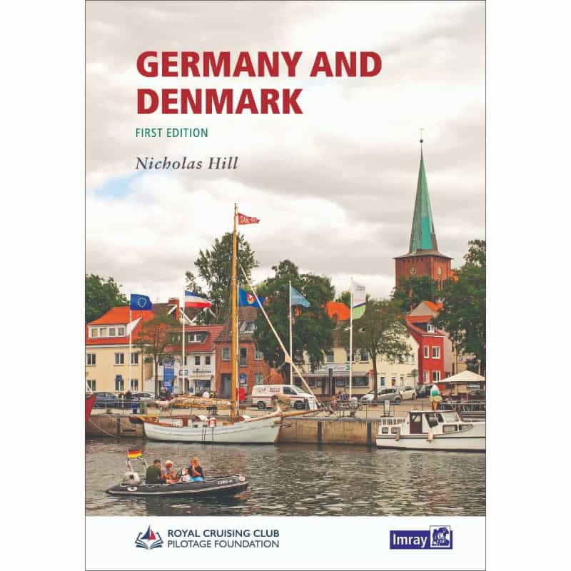
Navigate the dynamic coastlines of Germany and Denmark with confidence using this comprehensive cruising guide, meticulously crafted for sailors exploring the North Sea and Baltic Sea. Designed to replace and expand upon earlier editions, this guide delivers unparalleled coverage of the region’s ever-changing waters, from the exposed shores of the North Sea to the intricate archipelagos leading into the Baltic. Whether you're plotting a course through shifting tides or seeking sheltered harbors, this resource ensures you have the most accurate and up-to-date information at your fingertips.
This guide offers an exhaustive sequence of ports, coves, and anchorages along every stretch of the German and Danish coasts, providing sailors with a detailed roadmap for their journey. Each entry is enriched with recent hydrographic data, ensuring you can navigate with precision, even in areas where conditions evolve rapidly. The inclusion of updated charts and plans further enhances your ability to make informed decisions, whether you're entering a busy commercial port or a quiet, secluded bay.
More than just a navigational tool, this guide invites you to explore the cultural and historical highlights of the region. Introductory sections for key locations offer insights into onshore attractions, from charming coastal towns to historic landmarks, allowing you to blend seamanship with discovery. Recent photographs complement the text, giving you a visual preview of what awaits both on and off the water, so you can plan your stops with curiosity and confidence.
Created by Nicholas Hill for the Royal Cruising Club Pilotage Foundation (RCCPF), this guide reflects decades of collective knowledge from experienced sailors. It addresses the unique challenges of the region, such as the strong currents of the North Sea and the labyrinthine channels of the Danish archipelagos, with practical advice and clear, actionable information. The paperback format ensures durability and ease of use, whether you're referencing it in the cockpit or studying it during passage planning.
With its focus on accuracy and relevance, this guide is an indispensable resource for anyone cruising these northern European waters. The combination of recent hydrographic updates, detailed port information, and onshore insights makes it a versatile tool for both short trips and extended voyages. Whether you're a seasoned sailor or embarking on your first exploration of the region, this guide equips you with the knowledge to navigate safely and make the most of every stop along the way.
Unlock the Secrets of Germany and Denmark’s Coastal Waters
Embark on your next sailing adventure with this all-encompassing cruising guide, designed to cover every mile of the German and Danish coastlines along the North Sea and Baltic Sea. This first-edition guide, published in 2022, is the definitive resource for sailors seeking to navigate these diverse and often challenging waters. With a focus on precision and practicality, it provides a complete sequence of ports, coves, and anchorages, ensuring you can plan your route with confidence, whether you're tackling the exposed shores of the North Sea or the sheltered archipelagos of the Baltic.
Precision Navigation with Hydrographic Accuracy
Built on the latest hydrographic data, this guide offers updated charts and plans tailored to the unique conditions of German and Danish waters. The inclusion of recent hydrographic surveys ensures that you have the most reliable information for safe passage, even in areas where tides, currents, and coastal features are constantly evolving. Each port and anchorage is detailed with clarity, allowing you to make informed decisions and avoid potential hazards, no matter how remote or complex the location.
Explore Beyond the Horizon
This guide goes beyond navigation, offering a wealth of information about onshore attractions and points of interest. From historic towns to natural landmarks, the introductory sections for each location provide a glimpse into the cultural and historical richness of the region. Recent photographs complement the text, giving you a visual preview of what to expect, so you can plan your stops with both practicality and curiosity in mind.
Expertise You Can Trust
Authored by Nicholas Hill for the Royal Cruising Club Pilotage Foundation (RCCPF), this guide is the result of extensive research and firsthand experience. It addresses the specific challenges of sailing in northern European waters, from the strong currents of the North Sea to the intricate channels of the Danish archipelagos. The paperback format is designed for durability and ease of use, making it a reliable companion whether you're in the cockpit or preparing for your next voyage.
Your Gateway to Safe and Rewarding Sailing
Weighing just over 1 kilogram, this guide is lightweight yet packed with essential information, making it an ideal addition to your onboard library. Its comprehensive coverage, combined with up-to-date hydrographic data and practical insights, ensures that you can navigate with confidence and explore with ease. Whether you're a seasoned sailor or new to the region, this guide is your key to unlocking the full potential of Germany and Denmark’s stunning coastal waters.
This cruising guide is a first-edition paperback, published in 2022, covering the coastlines of Germany and Denmark along the North Sea and Baltic Sea. It includes updated hydrographic data, detailed port information, and onshore insights, all presented in a durable, easy-to-use format. Weighing 1020 grams, it is designed for practicality and reliability during extended voyages.
With a legacy spanning decades, this publisher is renowned for producing high-quality nautical guides and charts. Their publications are trusted by sailors worldwide for their accuracy, comprehensive coverage, and practical insights, making them an essential resource for both recreational and professional mariners navigating some of the world’s most challenging waters.
The guide covers the coasts of the North Sea and the Baltic Sea for Germany and Denmark, including ports, coves, and key landmarks along exposed and sheltered shorelines.
Yes, it includes introductory information on points of interest ashore, updated hydrographic data, and recent photographs to assist both experienced and first-time navigators.
Yes, the guide features updated plans with recent hydrographic data for German and Danish waters, ensuring accurate navigation.
The guide weighs 1020 grams, making it portable yet comprehensive for onboard use.
The guide is authored by Nicholas Hill and published in collaboration with the Royal Cruising Club Pilotage Foundation.
Yes, it provides hydrographic data, including details on tides and currents, tailored for safe navigation in the covered regions.
No, this edition is only available in a paperback format.
You might also like