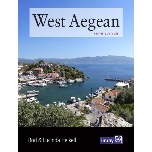




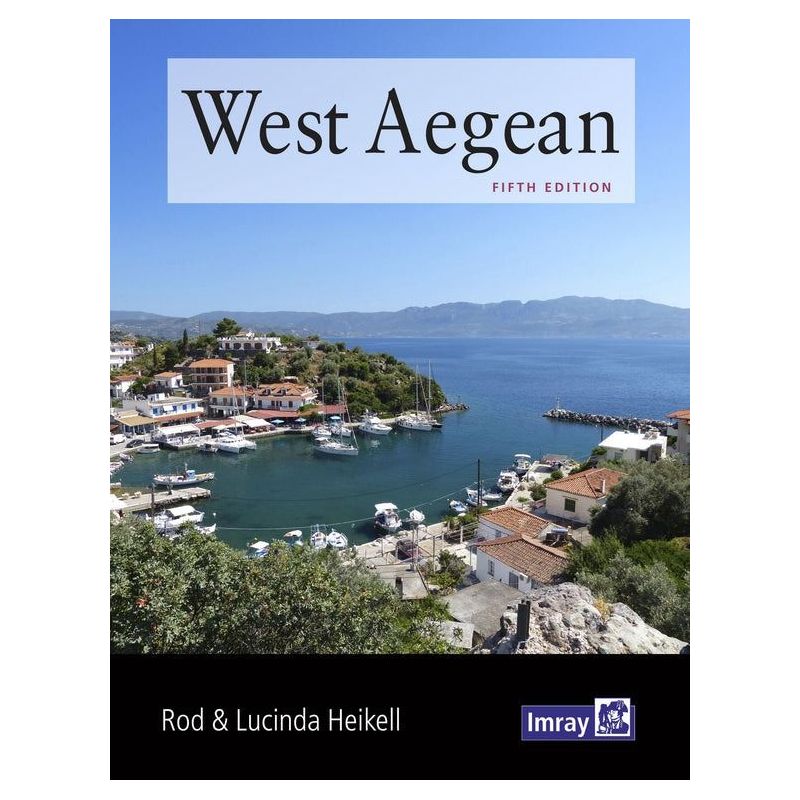
Explore the West Aegean’s hidden gems with this expert cruising guide. Packed with detailed navigation tips, shore visits, and local insights, it’s perfect for charter sailors and flotillas.
Data sheet
Specific References
Explore the West Aegean with confidence using this comprehensive cruising guide, meticulously crafted by renowned authors Rod and Lucinda Heikell. Designed for sailors, charter enthusiasts, and flotilla navigators, this guide offers an unparalleled depth of knowledge for one of the Mediterranean’s most captivating regions. Whether you're planning a short coastal hop or an extended island-hopping adventure, this book provides the detailed insights you need to navigate safely and make the most of your time ashore.
This guide covers a vast and diverse area, including the coasts and islands near Athens, the adjacent Cyclades, the eastern Peloponnese down to Monemvasia, the mainland Greek coast from Sounion to Volos, the neighboring shores of Evia, and the Northern Sporades, including Skiathos and Skopelos. It serves as the perfect companion to broader Mediterranean cruising guides, offering expanded details on areas that are often only briefly mentioned elsewhere. With precise coordinates spanning latitudes from 36.3°N to 39.4°N and longitudes from 22.3°E to 24.9°E, you’ll have all the geographic data needed for accurate navigation.
Navigate with ease thanks to expert pilotage notes, supported by clear plans and photographs that bring the region to life. The guide includes essential information on harbors, anchorages, and marinas, along with practical advice on local regulations, weather patterns, and safe passage planning. Whether you're docking in a bustling port or anchoring in a secluded bay, you’ll find the guidance you need to make informed decisions.
This guide goes beyond the technical aspects of sailing to offer a rich cultural experience. Discover the best local tavernas, sample regional wines, and explore ancient ruins with the authors’ expert recommendations. Their engaging writing style weaves together practical advice with fascinating insights into Greek history, mythology, and traditions, making this book as enjoyable to read as it is useful for navigation.
Rod and Lucinda Heikell are celebrated for their authoritative and accessible approach to cruising guides. Their work is trusted by sailors of all levels, from seasoned navigators to those new to the Mediterranean. With this guide, you benefit from decades of firsthand experience, ensuring that every detail—from the best anchorages to the most scenic coastal walks—is thoroughly vetted and presented in a user-friendly format.
This printed guide is built to withstand the demands of life on board, with a sturdy paperback format that fits easily into a navigation station or backpack. Measuring 9.7 x 7.8 inches and weighing just over 2 pounds, it’s compact enough for easy handling yet comprehensive enough to cover every aspect of your journey. The 2019 fourth edition ensures you have the most up-to-date information, and in some cases, it includes a free mobile download of Imray charts for use with the Imray Navigator app, adding an extra layer of convenience for digital navigators.
Unlock the secrets of the West Aegean with this essential cruising guide
Set sail for the West Aegean with the ultimate cruising companion, designed to transform your sailing experience into an unforgettable adventure. This guide is more than just a navigation tool—it’s your key to discovering the hidden gems, cultural treasures, and practical insights that make this region one of the Mediterranean’s most sought-after destinations. Whether you're a charter sailor, part of a flotilla, or an independent navigator, this book provides the detailed, reliable information you need to explore with confidence.
Comprehensive coverage for a diverse and dynamic region
From the bustling harbors near Athens to the serene anchorages of the Northern Sporades, this guide covers a vast and varied area with precision. It includes the Cyclades, the eastern Peloponnese, the mainland coast from Sounion to Volos, and the island of Evia, ensuring you have all the information you need for a seamless journey. With geographic coordinates spanning over 3 degrees of latitude and 2.5 degrees of longitude, this guide offers unmatched detail for planning every leg of your voyage.
Expert insights from trusted navigators
Authored by Rod and Lucinda Heikell, two of the most respected names in cruising literature, this guide combines decades of firsthand experience with meticulous research. Their pilotage notes are renowned for their accuracy and clarity, supported by detailed plans and photographs that help you visualize your route. Whether you're navigating a crowded port or seeking a quiet cove, their advice ensures you make the right decisions every time.
A blend of practicality and inspiration
This guide doesn’t just tell you where to go—it helps you make the most of every stop. Alongside essential navigation details, you’ll find recommendations for local dining, historical sites, and cultural experiences that bring the region to life. Learn about the best tavernas for authentic Greek cuisine, uncover the stories behind ancient ruins, and discover the unique traditions of each island. It’s the perfect balance of practicality and inspiration, ensuring your journey is as enriching as it is enjoyable.
Built for sailors, by sailors
Designed with the needs of sailors in mind, this guide is both durable and user-friendly. The paperback format is lightweight yet robust, making it easy to handle on deck or stow away when not in use. The 2019 fourth edition ensures you have the latest information, and its compact dimensions (9.7 x 7.8 inches) make it a convenient addition to any navigation station. For those who prefer digital tools, the guide occasionally includes a free mobile download of Imray charts, compatible with the Imray Navigator app, offering an extra layer of flexibility for modern navigators.
This cruising guide is a printed paperback edition, published in 2019 as the fourth edition. It measures 9.7 x 7.8 inches and weighs approximately 2.2 pounds, making it a compact yet comprehensive resource for sailors. Written in English by Rod and Lucinda Heikell, it covers the West Aegean, including the Cyclades, eastern Peloponnese, Evia, and the Northern Sporades, with precise geographic coordinates for accurate navigation.
With a legacy spanning over two centuries, this publisher is a trusted name in maritime navigation, renowned for producing high-quality charts, cruising guides, and pilot books. Their publications are crafted by experienced sailors and navigators, ensuring accuracy, reliability, and practicality for mariners of all levels. From detailed pilotage notes to cultural insights, their guides are designed to enhance every aspect of your sailing journey.
The guide provides in-depth coverage of lesser-detailed areas in other publications, including specific ports, anchorages, and coastal towns in the western Aegean, eastern Peloponnese, and northern Sporades.
Yes, it includes detailed suggestions for sites to visit onshore, such as historical landmarks, local attractions, and cultural points of interest.
Yes, it features background information on regional food, wine, and culinary traditions relevant to the covered areas.
The guide weighs 1000 grams and measures 9.7 x 7.8 inches, making it portable for onboard use.
The paperback edition may include a free mobile download of charts for the Imray Navigator app, depending on availability.
This is the 4th edition, published in 2019, ensuring up-to-date navigation and pilotage information for the covered regions.
Yes, the guide includes plans, charts, and photographs, many of which are aerial or on-site images to assist with navigation.
You might also like










![Greece sea guide - vol II - Evvoia, Sporades, north Aegean [Eagle Ray]](https://www.nautic-way.com/90781-home_default/pil3202-greece-sea-guide-vol-ii-evvoia-sporades-north-aegean-eagle-ray.jpg)
![Greece sea guide - vol IV - eastern Aegean, Dodecanese [Eagle Ray]](https://www.nautic-way.com/90784-home_default/pil3204-greece-sea-guide-vol-iv-eastern-aegean-dodecanese-eagle-ray.jpg)