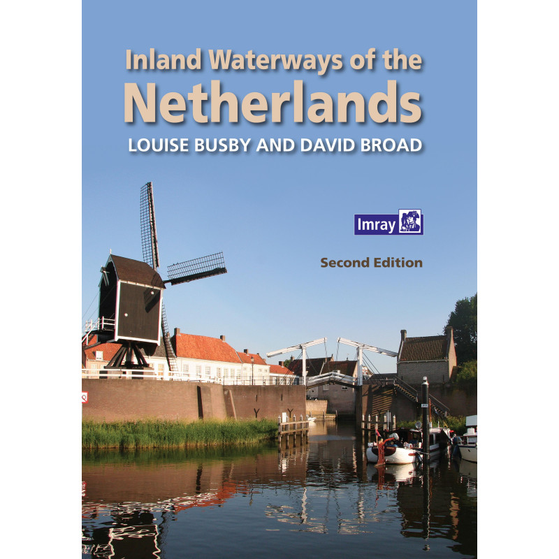


Imray - Inland Waterways of the Netherlands
search
  • googlemap
  • Imray - Inland Waterways of the Netherlands
  • Imray - Inland Waterways of the Netherlands

Imray - Inland Waterways of the Netherlands

€47.45
Tax included
Imray
In English language
Estimated preparation time: 0 to 2 days

Navigate the Netherlands’ vast inland waterways confidently with this detailed guide. Includes routes, bridge clearances, lock procedures, and 300+ stops—perfect for motor and sailboats alike.

INL0212
1 Item

Data sheet

What is the classification?
navigation book
Who is the publisher or the author?
Loiuse Busby & David Broad
On what digital medium is this nautical chart / book stored?
paper medium
From which year does this nautical chart date?
2016
What type of navigation book is this?
pilot
Picto
In English language

Specific References

UPC
400000055404
EAN13
4000000134091
New
Description détaillée

Inland Waterways of the Netherlands

Guide in English
Paperback edition

Your Ultimate Companion for Exploring the Dutch Waterways

Navigating the Netherlands’ intricate network of canals, rivers, and lakes demands precision, local insight, and reliable guidance. This comprehensive guide is your indispensable resource for safely and confidently cruising over 3,700 miles (6,000 km) of inland waterways, offering unparalleled coverage of one of Europe’s most extensive and accessible cruising grounds. Whether you're a seasoned boater or embarking on your first voyage, this guide equips you with the knowledge to make the most of every nautical mile.

Detailed Navigation for Every Route

Every waterway in the Netherlands presents its own challenges, from low bridges to busy locks and unpredictable currents. This guide provides meticulous navigation details for each route, including critical dimensions, potential obstacles, and specific procedures for bridges and locks. With clear, up-to-date information on mast-up routes (minimum bridge height of 11.5 feet or 3.5 meters), you can plan your journey with confidence, avoiding surprises and ensuring smooth passage whether you're sailing or motoring.

Over 300 Stopping Points Across All 12 Provinces

The Netherlands is a treasure trove of picturesque harbors, vibrant marinas, and hidden gems. This guide covers more than 300 stopping points, from bustling ports like Amsterdam and Rotterdam to secluded spots off the beaten path. Each location is presented with practical details to enhance your experience, including mooring options, shore facilities, and local attractions. Whether you're looking for a quiet anchorage or a lively town with cultural landmarks, you'll find the perfect destination for every leg of your journey.

In-Depth Insights for Nearly 100 Key Locations

For nearly 100 of the most popular and scenic locations, this guide goes beyond the basics to offer a deeper dive into what makes each place special. Discover insider tips on must-see sights, activities, and even subjective restaurant recommendations from the authors—both experienced boaters and journalists. Whether you're interested in historical landmarks, nature reserves, or local cuisine, these detailed descriptions help you explore like a local and make the most of your time ashore.

Designed for the Entire Crew

This guide is crafted to be a valuable resource for everyone on board, from the skipper to the navigator and guests. It provides clear, concise information to help you approach each location safely, while also highlighting the best attractions and experiences to enjoy once you’ve docked. With practical advice and engaging descriptions, it ensures that every member of your crew can contribute to a seamless and enjoyable voyage.

Visual Guide to the Dutch Waterways

Enhance your journey with vivid illustrations and photographs that bring the Dutch waterways to life. These visuals offer a preview of the landscapes, landmarks, and unique features you’ll encounter, helping you prepare for what lies ahead. Whether you're navigating urban canals or serene countryside routes, the imagery in this guide provides a valuable reference to complement the written content.

Updated and Reliable Information

This second edition, published in 2016, has been thoroughly revised to include the latest updates on routes, maps, and points of interest. The authors, Louise Busby and David Broad, bring years of experience and expertise to this guide, ensuring that the information is accurate, relevant, and tailored to the needs of boaters. For the most current updates, you can also refer to the complementary website, which provides ongoing revisions and additional resources.

Unlock the Full Potential of the Dutch Waterways
Embarking on a journey through the Netherlands’ inland waterways is an adventure like no other, offering a unique blend of urban charm, natural beauty, and rich cultural heritage. This guide is your key to navigating this vast network with ease, providing everything you need to plan, execute, and enjoy your voyage. Whether you're cruising through historic cities, exploring tranquil countryside routes, or discovering hidden gems along the way, this guide ensures you have the insights and confidence to make the most of every moment on the water.

Comprehensive Coverage for Every Boater
With over 3,700 miles (6,000 km) of waterways covered, this guide is the most extensive resource available for navigating the Netherlands by boat. It includes detailed information on all mast-up routes, ensuring that you can safely pass under bridges with a minimum clearance of 11.5 feet (3.5 meters). Each waterway is described with precision, highlighting dimensions, potential obstacles, and specific procedures for locks and bridges. This level of detail is invaluable for both planning your route and navigating it with confidence.

Practical Insights for Over 300 Stopping Points
The Netherlands offers a diverse range of stopping points, from bustling marinas in major cities to quiet, secluded harbors in the countryside. This guide provides practical information for over 300 locations across all 12 provinces, including mooring options, shore facilities, and local attractions. Whether you're looking for a place to refuel, restock supplies, or simply relax, you'll find the details you need to make informed decisions and enhance your journey.

Expert Recommendations for Nearly 100 Key Locations
For nearly 100 of the most popular and scenic locations, this guide offers in-depth insights that go beyond the basics. Discover expert recommendations on activities, sights to see, and even subjective restaurant reviews from the authors—both experienced boaters and journalists. These detailed descriptions help you explore each destination like a local, ensuring that you don’t miss out on the best experiences the Netherlands has to offer.

Designed for the Entire Crew
This guide is crafted to be a valuable resource for everyone on board, from the skipper to the navigator and guests. It provides clear, concise information to help you approach each location safely, while also highlighting the best attractions and experiences to enjoy once you’ve docked. With practical advice and engaging descriptions, it ensures that every member of your crew can contribute to a seamless and enjoyable voyage.

Visual Guide to Enhance Your Journey
Enhance your experience with vivid illustrations and photographs that bring the Dutch waterways to life. These visuals offer a preview of the landscapes, landmarks, and unique features you’ll encounter, helping you prepare for what lies ahead. Whether you're navigating urban canals or serene countryside routes, the imagery in this guide provides a valuable reference to complement the written content.

This updated second edition, published in 2016, is a paperback guide weighing 2.91 lbs (1320 g). It covers over 3,700 miles (6,000 km) of inland waterways, providing detailed navigation information for all mast-up routes with a minimum bridge height of 11.5 feet (3.5 meters). The guide includes over 300 stopping points across all 12 provinces, with nearly 100 key locations described in depth, offering practical insights and expert recommendations for boaters.

With a legacy of providing high-quality nautical resources, this publisher is renowned for its detailed and reliable guides tailored to the needs of boaters. Their publications are crafted by experts with firsthand experience, ensuring that every guide is both practical and insightful. Whether you're navigating inland waterways or coastal routes, their resources are designed to enhance your journey with accurate, up-to-date information.

  • This guide stands out for its unparalleled coverage of the Netherlands’ inland waterways, offering detailed navigation information, practical insights for over 300 stopping points, and expert recommendations for nearly 100 key locations. Its comprehensive approach ensures that boaters of all levels can navigate with confidence, while the vivid illustrations and photographs enhance the planning and execution of every voyage. Updated and reliable, it is an essential tool for anyone exploring the Dutch waterways.
What is the minimum bridge height covered in the navigation details?

The guide covers routes accessible with a mast height of over 3.5 meters (mast-up navigation).

How many stopping places are included in the guide?

The guide provides information on over 300 stopping places across all 12 provinces.

Are there details about onshore facilities at the main stopping points?

Yes, nearly 100 main stopping places include details on facilities, activities, attractions, and restaurant recommendations.

Is this guide suitable for both motorboats and sailboats?

Yes, it is designed for both motor and sail pleasure craft, with navigation details and visual aids for all users.

How often is the information updated?

The guide was last updated in its second edition in 2016, with revisions to text, maps, and photos. A complementary website provides ongoing updates.

What is the weight of the guide?

The guide weighs 1320 grams.

Does the guide include coordinates for navigation?

Yes, it includes latitude and longitude coordinates for key locations along the waterways.

Loading...