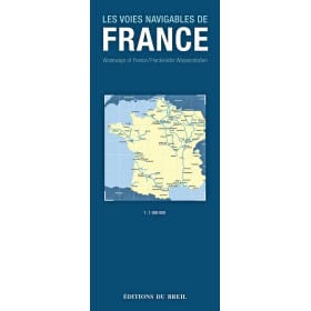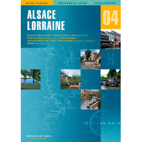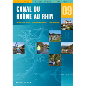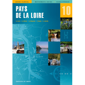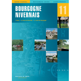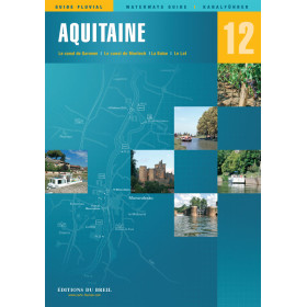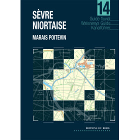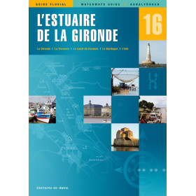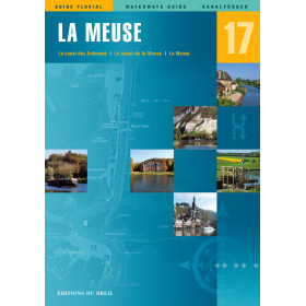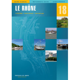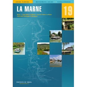




Navigate 2,500 km of France’s most scenic waterways with this comprehensive guide. Features detailed maps, updated routes, and expert tips for safe and unforgettable cruising adventures.
Data sheet
Specific References
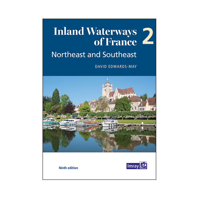
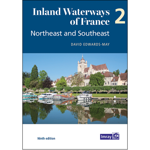
Explore the heart of Europe’s most captivating waterways with this comprehensive guide, meticulously crafted for boaters seeking adventure, precision, and unparalleled detail. Covering 2,500 kilometers of rivers and canals from the historic Meuse and Moselle in the northeast to the sun-drenched Mediterranean in the southeast, this guide is your key to unlocking France’s vast and diverse inland waterway network. Whether you're a seasoned sailor or a weekend cruiser, this book provides everything you need to navigate with confidence and ease.
This guide offers an in-depth look at France’s 9,000-kilometer network of navigable rivers and canals, with a focus on the latest developments and updates. From bustling commercial routes to serene, lesser-known waterways, it covers every aspect of cruising in this region. Detailed color maps of 40 key locations—including cities, junctions, and critical waypoints—ensure you always know your position and what lies ahead. Overview maps for each waterway provide a bird’s-eye view, helping you plan your route with precision and avoid unexpected challenges.
Beyond maps, this guide is packed with practical information to enhance your journey. Discover secure mooring spots, even in areas with heavy commercial traffic, and learn about the best places to dock, refuel, and rest. Each section includes descriptions of towns and landmarks, historical notes that add depth to your travels, and vibrant color photographs that bring the landscapes to life. Whether you're looking for a quiet anchorage or a lively port town, this book helps you make the most of every stop along your route.
Written in clear, accessible English, this guide is tailored for both European and international boaters. It bridges the gap between local knowledge and global accessibility, ensuring that sailors from all backgrounds can navigate France’s waterways with ease. The author, a renowned expert in inland waterways, combines technical accuracy with practical advice, making this guide an indispensable tool for anyone planning a cruise in this stunning region.
This ninth edition (2021) reflects the most recent changes and developments in France’s waterway infrastructure. With 126 full-color pages, it’s designed to be both informative and easy to use, whether you’re planning your route at home or navigating on the water. The lightweight paperback format makes it convenient to carry on board, ensuring you always have the information you need at your fingertips.
Navigate France’s Northeast and Southeast Waterways with Confidence
Embark on your next boating adventure with this essential guide to France’s inland waterways, covering the northeast and southeast regions. This meticulously updated ninth edition is your go-to resource for exploring 2,500 kilometers of rivers and canals, from the industrial charm of the Meuse and Moselle to the Mediterranean’s sunlit shores. Designed for boaters who demand accuracy and detail, this guide provides everything you need to plan, navigate, and enjoy your journey with peace of mind.
Comprehensive Coverage for Every Voyage
This guide offers unparalleled coverage of France’s 9,000-kilometer waterway network, focusing on the latest developments and key navigational insights. With 126 full-color pages, it includes detailed maps of 40 critical locations, such as cities, junctions, and waypoints, ensuring you always have a clear understanding of your surroundings. Overview maps for each waterway provide a strategic view, helping you plan your route efficiently and avoid potential obstacles. Whether you're navigating busy commercial routes or tranquil canals, this guide equips you with the knowledge to cruise safely and confidently.
Practical Tools for On-the-Water Success
Beyond its detailed maps, this guide is packed with practical tools to enhance your boating experience. Discover secure mooring spots, even in high-traffic areas, and access essential information about docking, refueling, and local amenities. Each section features vivid descriptions of towns and landmarks, historical context to enrich your journey, and stunning color photographs that capture the beauty of France’s waterways. Whether you're seeking a quiet retreat or a bustling port, this guide helps you make the most of every stop.
Trusted by Boaters Worldwide
Written in English by a leading expert in inland waterways, this guide is tailored for both European and international boaters. It combines technical precision with user-friendly advice, making it an indispensable companion for anyone exploring France’s waterways. The lightweight paperback format ensures it’s easy to carry on board, while its 900-gram weight strikes the perfect balance between durability and portability. Stay informed and prepared with the latest edition, updated to reflect the most recent changes in France’s waterway infrastructure.
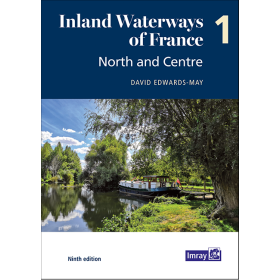
This ninth edition guide, published in 2021, is a paperback with 126 full-color pages, weighing 900 grams. Written in English by David Edwards-May, it provides detailed maps, practical information, and historical insights for navigating France’s northeast and southeast waterways.
With decades of experience in maritime navigation, this publisher is a trusted name among boaters worldwide. Known for producing high-quality, accurate, and user-friendly guides, their publications are designed to meet the needs of both recreational and professional sailors. Each guide is crafted with a focus on precision, practicality, and the latest updates in waterway infrastructure, ensuring boaters have the tools they need for safe and enjoyable voyages.
This volume covers the northeast regions including the Meuse, Moselle, Sarre, and Rhine, extending to the southeastern Mediterranean areas of France.
Yes, the guide includes detailed color maps of 40 key sites, cities, and junctions, along with overview maps for each waterway.
Yes, the 9th edition details recent developments in the 9,000 km network of navigable rivers and canals.
Absolutely, it provides practical information, historical notes, and highlights secure mooring areas, making it ideal for both European and international boaters.
The guide has 126 pages, all of which are in full color.
The guide weighs 900 grams.
The guide is authored by David Edwards-May.
You might also like