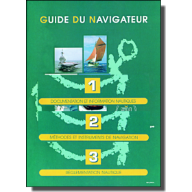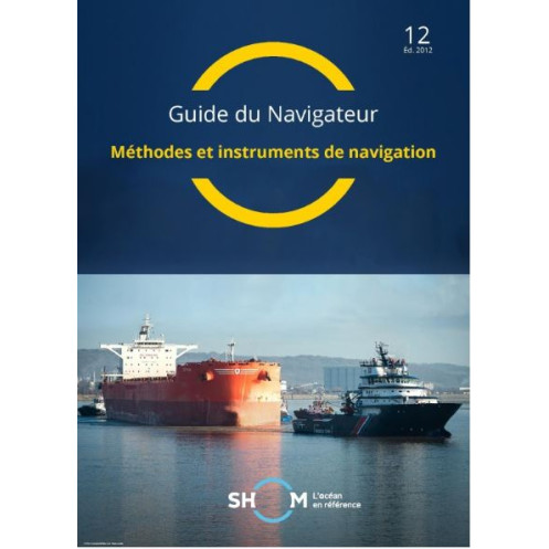





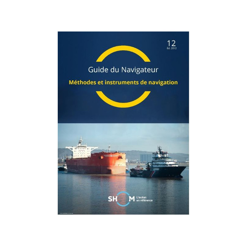
Master navigation techniques and tools with this essential PDF guide. Covers instruments, methods, and e-navigation for safe and precise sailing in all conditions. Digital download, 288 pages.
Data sheet
Specific References
Elevate Your Navigation Skills with the Definitive Digital Guide for Maritime Professionals
Navigator’s Guide, Volume 2: Navigation Methods and Instruments is the ultimate digital resource for mariners who demand precision, reliability, and up-to-date knowledge. This 288-page PDF guide is meticulously crafted to provide a deep dive into both traditional and modern navigation techniques, ensuring you’re equipped to handle any scenario at sea. Whether you’re navigating coastal waters, open oceans, or high-traffic areas, this guide offers the tools and insights needed to make informed decisions with confidence.
From Traditional Tools to Cutting-Edge Technology
This guide covers the full spectrum of navigation instruments, from magnetic compasses and sextants to advanced electronic systems like ECDIS (Electronic Chart Display and Information System) and AIS (Automatic Identification System). Each instrument is explored in detail, including its operational principles, limitations, and best practices for use. You’ll learn how to integrate these tools seamlessly, whether you’re relying on traditional methods or leveraging the latest digital innovations to enhance safety and efficiency.
Master e-Navigation: The Future of Maritime Operations
Stay ahead of the curve with an introduction to the International Maritime Organization’s (IMO) e-navigation framework. This guide explains how digital technologies are transforming maritime navigation, improving situational awareness, and reducing human error. You’ll gain a clear understanding of how e-navigation streamlines data exchange, enhances security, and supports environmental protection, making it an essential resource for modern mariners.
Practical Solutions for Real-World Challenges
Designed for professionals in the merchant marine, this guide provides practical methodologies for navigating in challenging conditions. Whether you’re dealing with restricted waters, poor visibility, or unreliable electronic signals, you’ll find step-by-step procedures for celestial navigation, terrestrial navigation, and piloting. The guide also includes techniques for error detection and correction, ensuring you can validate positioning data and cross-check instruments for maximum accuracy.
Digital Convenience with Continuous Support
Access your guide instantly via a download link, with no waiting for physical delivery. The digital format allows you to search, annotate, and reference key information quickly, making it ideal for both training and onboard use. Licensed for use on up to 5 workstations, this guide is perfect for individual professionals or small teams. Plus, enjoy free updates for one year (if available), ensuring your knowledge stays current with the latest industry standards.
This digital guide is delivered as a 288-page PDF, optimized for readability on multiple devices. Published in 2012 and updated to reflect the GAN 12/44 standards, it remains a relevant and reliable resource for modern navigation. The license allows installation on up to 5 workstations, with a validity period of 365 days. Free updates are included for one year if available, ensuring you always have access to the latest information.
With a legacy rooted in maritime excellence, this publisher is a trusted authority in hydrography and oceanography. Renowned for producing high-quality, accurate, and reliable navigation resources, their guides are used by professionals worldwide to ensure safe and efficient maritime operations. Their commitment to precision and innovation makes them a go-to source for mariners seeking the best in navigation knowledge.
The guide covers the main navigation instruments and equipment, including traditional tools and modern systems used in various navigation conditions.
Yes, it introduces the International Maritime Organization’s concept of e-navigation and its applications in modern maritime practices.
The PDF is licensed for use on up to 5 different computers per purchase.
Yes, free updates are provided for one year if they become available during that period.
No, it is only available as a digital PDF, delivered via download link.
The current edition was published on March 3, 2012, and is valid as of GAN 12/44.
The guide contains 288 pages of detailed navigation methods and instrument instructions.
You might also like












![Admiralty - NP247[1] - Annual Summary of Admirlaty Notice to Mariners Pt.1](https://www.nautic-way.com/80676-home_default/admiralty-np247-1-annual-summary-of-admirlaty-notice-to-mariners-pt1-maritime-bookshop-nautic-way.jpg)
![Admiralty - NP247[2] - Annual Summary of Admirlaty Notice to Mariners Pt.2](https://www.nautic-way.com/80678-home_default/admiralty-np247-2-annual-summary-of-admirlaty-notice-to-mariners-pt2-maritime-bookshop-nautic-way.jpg)


![Admiralty - eNP247[1] - Annual Summary of Admirlaty Notice to Mariners Pt.1](https://www.nautic-way.com/80716-home_default/admiralty-enp247-1-annual-summary-of-admirlaty-notice-to-mariners-pt1-maritime-bookshop-nautic-way.jpg)
![Admiralty - eNP247[2] - Annual Summary of Admirlaty Notice to Mariners Pt.2](https://www.nautic-way.com/80718-home_default/admiralty-enp247-2-annual-summary-of-admirlaty-notice-to-mariners-pt2-maritime-bookshop-nautic-way.jpg)