



Optimize ENC usage in ECDIS systems with this expert guide. Tailored for navigators and trainers, it delivers practical knowledge to improve safety and situational awareness in digital navigation.
Data sheet
Specific References
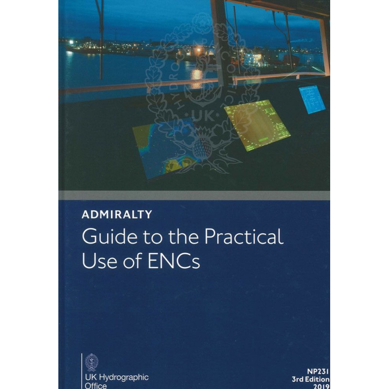
Navigating with Electronic Chart Display and Information Systems (ECDIS) is not just a modern convenience—it’s a fundamental shift in how maritime safety and efficiency are achieved. The *Guide to the Practical Use of Electronic Navigational Charts (ENCs)* is the definitive resource for mariners, bridge crews, trainers, and safety management personnel seeking to harness the full potential of ENCs. This publication bridges the gap between traditional navigation methods and the digital future, ensuring that users can interpret and apply electronic chart data with precision and confidence.
The maritime industry is rapidly embracing digital solutions, and ECDIS is at the forefront of this transformation. This guide not only supports the transition from paper to electronic navigation but also ensures that users are equipped to handle the complexities of digital charting. Whether you’re a seasoned mariner or new to electronic navigation, this resource provides the clarity and confidence needed to navigate safely and efficiently in the digital age.
As the industry continues to evolve, so do the tools and standards for navigation. This guide is part of a broader ecosystem, including the upcoming CBT231 training product, designed to keep maritime professionals ahead of the curve. By mastering the practical use of ENCs, users can ensure compliance, enhance safety, and optimize their operations for years to come.
Unlock the Full Potential of Electronic Navigational Charts with the NP231 Guide
In an era where digital navigation is redefining maritime safety, the *Guide to the Practical Use of Electronic Navigational Charts (ENCs)* stands as the ultimate resource for professionals seeking to master ECDIS. This 128-page printed guide, now in its 3rd edition (2019), is meticulously crafted to provide mariners, bridge crews, and safety managers with the expertise needed to interpret and apply ENC data with precision. Unlike traditional navigation methods, ECDIS offers dynamic, customizable displays that enhance situational awareness—when used correctly. This guide ensures you avoid the pitfalls of misconfiguration and fully leverage the power of digital charting to elevate safety and efficiency on every voyage.
Designed for Real-World Application
This guide is not just a theoretical manual; it’s a practical toolkit for the modern navigator. It complements and reinforces ECDIS training, focusing on the interpretation of electronic chart data to support real-time decision-making. While it does not replace the IMO Model Course 1.27 or the STCW Convention’s Manila Amendments, it provides essential supplementary knowledge that aligns with global maritime standards. Whether you’re navigating congested waters or open seas, this guide helps you configure ECDIS displays for optimal clarity, reducing risks and improving operational outcomes.
Built for Professionals, Backed by Authority
Published by a globally recognized leader in hydrographic data, this guide is trusted by maritime professionals worldwide. Its 297 x 210 mm paperback format makes it a convenient and durable reference for use on the bridge or in training environments. Weighing just 0.45 kg, it’s easy to carry and store, ensuring it’s always within reach when you need it most. The 3rd edition (2019) reflects the latest advancements in ENC technology, making it a future-ready resource for fleets transitioning to fully digital navigation systems.
Versatile and Accessible Learning
While this version is available in print, the guide is also offered in CD and e-NP formats, catering to diverse learning preferences and operational needs. The CD version is compatible with Microsoft Windows XP, Vista, and 7, and supports Internet Explorer 6 through 9, with Adobe Flash Player included for seamless access. Whether you prefer the tactile experience of a printed book or the convenience of digital access, this guide adapts to your workflow, ensuring you have the tools you need to navigate with confidence.
This guide is a 128-page printed publication in a convenient 297 x 210 mm paperback format, weighing just 0.45 kg for easy portability. Published in 2019 as the 3rd edition, it is available in English and designed for use alongside ECDIS training. The guide is also offered in CD and e-NP formats, with the CD version compatible with Microsoft Windows XP, Vista, and 7, and requiring Adobe Flash Player for optimal functionality.
For over two centuries, this organization has been a cornerstone of global maritime navigation, providing hydrographic data, charts, and publications that set the standard for safety and accuracy at sea. Renowned for its expertise and commitment to innovation, it supports mariners, fleets, and maritime authorities worldwide with reliable, up-to-date resources that enhance operational efficiency and compliance with international regulations.
The guide is designed to help navigators, bridge crews, trainers, and safety management personnel acquire and maintain a high level of knowledge on the content and use of Electronic Navigational Charts (ENCs) within ECDIS systems, enhancing safe navigation practices.
No, it complements and reinforces ECDIS training elements but does not replace the IMO Model Course 1.27 or the Manila amendments to the STCW Convention.
The CD version is compatible with Microsoft Windows XP, Vista, and 7, and requires Internet Explorer 6, 7, 8, or 9, along with Adobe Flash Player, which is included on the disk.
ECDIS offers a flexible display that can improve situational awareness and safety when properly configured, but it requires a different approach compared to traditional paper charts to avoid potential risks.
Yes, it is available in paperback, CD, and e-NP (electronic) formats.
The paperback version weighs 0.45 kg and has dimensions of 297 x 210 mm.
Yes, the guide will be complemented by a Computer-Based Training (CBT) product, CBT231, to further support digital navigation training.
You might also like