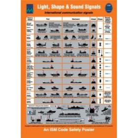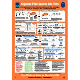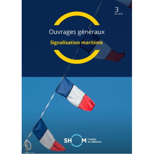




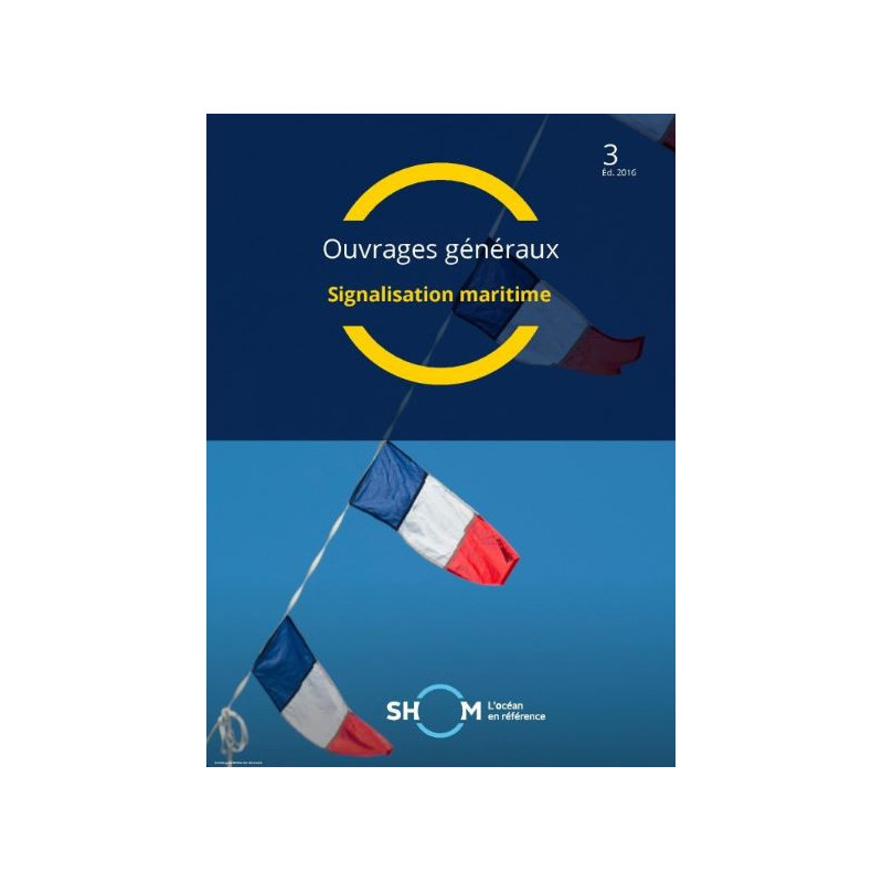
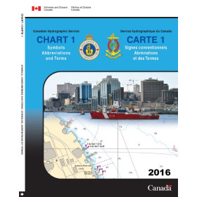
Navigate with confidence using this comprehensive maritime signaling manual. It details buoys, lights, distress signals, and international codes for safe and compliant sailing.
Data sheet
Specific References
Your Go-To Guide for Mastering Maritime Signaling
Navigating the complexities of maritime signaling requires a resource that is both authoritative and practical. This guide, updated to the latest GAN16/35 standards, is the definitive reference for professionals who demand accuracy and reliability in every aspect of marine communication and navigation. Whether you're interpreting buoyage systems, decoding distress signals, or assessing sea conditions, this manual provides the clarity and precision needed to operate safely in any maritime environment.
Comprehensive Coverage for Every Signaling Need
From the IALA buoyage system to the International Code of Signals, this guide covers every critical aspect of maritime signaling. It includes detailed explanations of light characteristics, sound signals, and visual markers, ensuring you can identify and respond to signals with confidence. The manual also features practical tools like the sea state code and wind speed scale, which are indispensable for voyage planning and real-time decision-making.
Built to Withstand the Rigors of Maritime Use
Designed for professionals, this guide is printed in a durable, large-format (21 x 29.5 cm) that resists wear and tear, even in challenging conditions. Its unlimited validity means you can rely on it for years without worrying about outdated information. Weighing just 1.5 kg, it’s easy to store on board while remaining robust enough to handle frequent use. Whether you're on the bridge of a cargo ship or coordinating port operations, this guide is engineered to perform when it matters most.
Trusted by Maritime Professionals Worldwide
This manual is more than just a reference—it’s a cornerstone of maritime safety and compliance. Used by captains, officers, and port authorities, it ensures that every signal, marker, and communication is interpreted correctly, reducing the risk of accidents and operational delays. With its clear, structured layout, you can quickly find the information you need, even in high-pressure situations. For those who prioritize safety and efficiency, this guide is an indispensable tool for navigating the world’s waterways.
This maritime signaling guide is designed to meet the highest standards of accuracy and durability. Published in 2016 and updated to the GAN16/35 standard, it features an unlimited validity period, ensuring long-term reliability. The printed version measures 21 x 29.5 cm and weighs 1.5 kg, making it ideal for onboard use. It is available in French and adheres to the GAN 2448 edition as of November 27, 2024. A PDF version is also available for digital accessibility.
With a legacy rooted in maritime expertise, this organization is a leading authority in hydrography and oceanography, providing critical resources for safe and efficient navigation. Their publications are trusted by professionals worldwide for their accuracy, reliability, and adherence to international standards, making them an essential partner for maritime operations.
The manual is updated according to the GAN16/35 standard, ensuring compliance with the latest maritime regulations and practices.
No, the manual is currently available only in French.
Yes, it is designed in a robust paper format to withstand difficult conditions on board.
The manual measures 21 x 29.5 cm and weighs approximately 1.5 kg.
Yes, it covers the Code international des signaux, including signals for tides, ports, distress, and storms.
Yes, a PDF version is available for digital access.
The manual has an unlimited validity period, but it is recommended to check for updates based on the latest GAN standards.
You might also like

















![Admiralty - NP247[1] - Annual Summary of Admirlaty Notice to Mariners Pt.1](https://www.nautic-way.com/80676-home_default/admiralty-np247-1-annual-summary-of-admirlaty-notice-to-mariners-pt1-maritime-bookshop-nautic-way.jpg)
![Admiralty - NP247[2] - Annual Summary of Admirlaty Notice to Mariners Pt.2](https://www.nautic-way.com/80678-home_default/admiralty-np247-2-annual-summary-of-admirlaty-notice-to-mariners-pt2-maritime-bookshop-nautic-way.jpg)


![Admiralty - eNP247[1] - Annual Summary of Admirlaty Notice to Mariners Pt.1](https://www.nautic-way.com/80716-home_default/admiralty-enp247-1-annual-summary-of-admirlaty-notice-to-mariners-pt1-maritime-bookshop-nautic-way.jpg)
![Admiralty - eNP247[2] - Annual Summary of Admirlaty Notice to Mariners Pt.2](https://www.nautic-way.com/80718-home_default/admiralty-enp247-2-annual-summary-of-admirlaty-notice-to-mariners-pt2-maritime-bookshop-nautic-way.jpg)