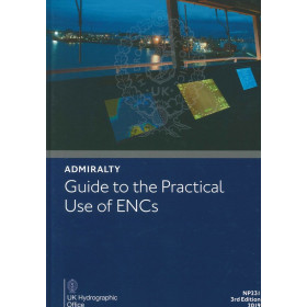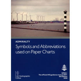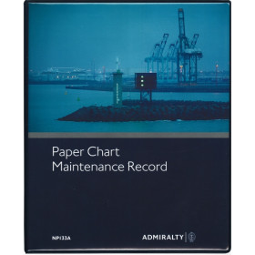





Master the art of correcting nautical charts with this digital guide. It offers fast, accurate updates for charts and publications, ensuring compliance with maritime standards and safer voyages.
Data sheet
Specific References
Keep Your Nautical Charts Accurate with the Official Digital Guide to Corrections
In the world of maritime navigation, outdated charts can lead to costly mistakes—or worse. This digital guide, *How to Correct (Keep Your Charts Up-to-Date)*, is your ultimate resource for maintaining Admiralty charts and publications with precision. Developed by the leading authority in hydrographic data, this publication ensures your navigational tools are always current, compliant, and ready for any voyage. Whether you're a captain, navigator, or maritime professional, this guide provides the step-by-step process to correct your charts efficiently, reducing risks and enhancing safety at sea.
Streamline Your Chart Corrections with the Admiralty Way
Gone are the days of manual, time-consuming chart corrections. This digital guide introduces the "Admiralty Way," a proven method for updating your nautical charts and publications with speed and accuracy. With weekly electronic Notices to Mariners (NMs) updates, you can apply corrections in seconds, ensuring your charts reflect the latest navigational data. Designed for Windows 7 and later, this guide integrates seamlessly into your digital workflow, making it an essential tool for modern mariners who demand efficiency and reliability.
Comprehensive Coverage for All Admiralty Products
This guide doesn’t just cover charts—it provides detailed instructions for updating all Admiralty publications, including Sailing Directions (Pilots) and the Nautical Almanac. Whether you're planning a passage through busy shipping lanes or remote waters, this manual ensures every aspect of your navigational toolkit is up-to-date. The digital format allows for quick searches and easy reference, so you can find the information you need without flipping through pages of paper manuals.
Designed for Professionals Who Demand Precision
Accuracy is non-negotiable in maritime navigation, and this guide is built for professionals who refuse to compromise. By following the Admiralty Way, you ensure compliance with international maritime standards while minimizing the risk of errors. The guide’s digital format also means you can access it anytime, anywhere, making it a versatile tool for onboard planning and last-minute adjustments. Whether you're a commercial vessel operator or a leisure sailor, this publication is your trusted companion for safe and efficient navigation.
This digital guide is designed for efficiency and ease of use, offering weekly electronic Notices to Mariners (NMs) updates that can be applied in seconds. Compatible with Windows 7 and later, it supports all Admiralty digital charts and publications, including Sailing Directions (Pilots) and the Nautical Almanac. The intuitive digital format ensures quick navigation and seamless integration into your onboard planning workflow.
For over two centuries, the United Kingdom Hydrographic Office has been the gold standard in hydrographic data and maritime navigation. Renowned for its precision, reliability, and commitment to safety, this organization provides mariners worldwide with the tools they need to navigate with confidence. Their publications, including this digital guide, are trusted by professionals across the maritime industry for their accuracy and adherence to international standards.
This digital guide is compatible with PCs running Windows 7 or later versions.
Updates are provided weekly through electronic Notices to Mariners (NMs) downloads.
Updating charts using this guide typically takes just a few seconds.
Yes, it provides detailed instructions for updating all products, including charts, Sailing Directions (Pilots), and the Nautical Almanac.
An internet connection is required for downloading the guide and its weekly updates, but the guide itself can be accessed offline once downloaded.
No specific hardware is required beyond a PC with Windows 7 or later and sufficient storage for the digital files.
You might also like













![Admiralty - NP247[1] - Annual Summary of Admirlaty Notice to Mariners Pt.1](https://www.nautic-way.com/80676-home_default/admiralty-np247-1-annual-summary-of-admirlaty-notice-to-mariners-pt1-maritime-bookshop-nautic-way.jpg)
![Admiralty - NP247[2] - Annual Summary of Admirlaty Notice to Mariners Pt.2](https://www.nautic-way.com/80678-home_default/admiralty-np247-2-annual-summary-of-admirlaty-notice-to-mariners-pt2-maritime-bookshop-nautic-way.jpg)

![Admiralty - eNP247[1] - Annual Summary of Admirlaty Notice to Mariners Pt.1](https://www.nautic-way.com/80716-home_default/admiralty-enp247-1-annual-summary-of-admirlaty-notice-to-mariners-pt1-maritime-bookshop-nautic-way.jpg)
![Admiralty - eNP247[2] - Annual Summary of Admirlaty Notice to Mariners Pt.2](https://www.nautic-way.com/80718-home_default/admiralty-enp247-2-annual-summary-of-admirlaty-notice-to-mariners-pt2-maritime-bookshop-nautic-way.jpg)