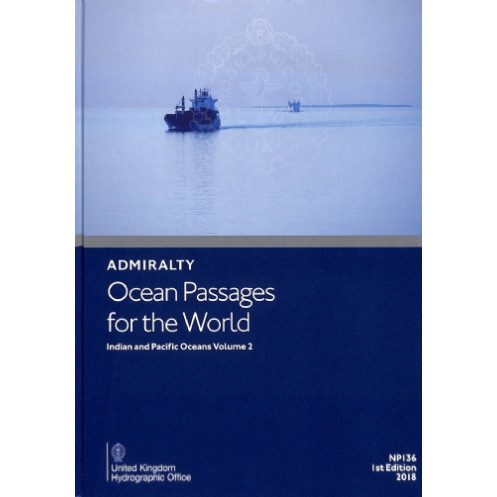




Plan voyages across the Indian and Pacific Oceans with this hardcover guide. Includes routes, weather patterns, currents, and hazards for motor and sail vessels.
Essential for professional mariners.
Data sheet
Specific References
Optimize your ocean voyages with this authoritative hardcover guide, designed for professional mariners navigating the Indian and Pacific Oceans. This volume delivers critical route planning data, weather insights, and oceanographic details to ensure safe, efficient, and compliant transits across some of the world’s most challenging maritime regions.
Master the Indian and Pacific Oceans with the definitive maritime navigation guide
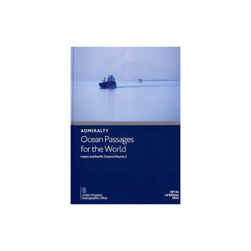
Ocean Passages for the World – Indian and Pacific Oceans Volume 2 is the go-to resource for professional mariners seeking precision, reliability, and efficiency in long-distance voyage planning. This hardcover edition provides unparalleled insights into the unique challenges of the Indian and Pacific Oceans, offering route recommendations, environmental data, and risk assessments tailored to commercial shipping, yachting, and offshore operations. Whether navigating monsoon seasons, avoiding ice hazards, or optimizing fuel consumption, this guide equips crews with the knowledge to make informed decisions in real time.
Engineered for Professional Use in Demanding Maritime Environments
Weighing 2.54 lb, this hardcover guide is built to withstand the rigors of onboard use, from bridge consoles to chart tables. The 3rd edition, published in 2026, reflects the latest hydrographic data and maritime best practices, ensuring compliance with international standards. Its durable binding and high-quality print make it a dependable tool for extended voyages, while its structured layout allows for quick reference during critical navigation phases.
Comprehensive Data for Safe and Efficient Transits
This volume covers everything from prevailing wind patterns and seasonal climatic shifts to ocean currents and swell dynamics, providing a 360-degree view of the maritime environment. It includes dedicated chapters for the Indian and Pacific Oceans, with detailed route options for both motor and sail vessels. Mariners can rely on this guide to identify the shortest and safest passages between major ports, reducing transit time and operational costs while enhancing crew safety.
Trusted by the Global Maritime Industry
As a publication from the world’s foremost hydrographic authority, this guide is recognized for its accuracy and adherence to international maritime regulations. It is an essential companion for shipmasters, navigators, and fleet managers who require validated data to support decision-making. Available in both print and digital formats (ADMIRALTY e-Nautical Publication), it seamlessly integrates into modern bridge systems, ensuring accessibility whether in paper form or as part of an electronic chart display.
This hardcover navigation guide delivers precise, up-to-date information for transoceanic voyage planning in the Indian and Pacific Oceans. Published in 2026, the 3rd edition features a durable hardcover binding, weighs 2.54 lb, and is available in both print and digital formats. It includes comprehensive route data for motor and sail vessels, along with critical insights on winds, currents, ice hazards, and seasonal conditions to support safe and efficient maritime operations.
For over two centuries, this hydrographic authority has set the standard for maritime navigation, providing accurate and reliable data to commercial fleets, naval operations, and offshore industries worldwide. Their publications are trusted by mariners for their precision, compliance with international regulations, and ability to enhance safety and efficiency in global maritime operations.
The hardcover version weighs 2.54 lb.
The current edition available is the 3rd edition, published in 2026.
Yes, it includes detailed advice on winds, weather, climate, and seasonal factors for the Indian and Pacific Oceans.
Yes, it is also available as an ADMIRALTY e-Nautical Publication (AENP).
It provides route details for both motorboats and sailboats.
Yes, it covers ice-related dangers in the relevant regions.
The IMPA code for this publication is 370671.
You might also like