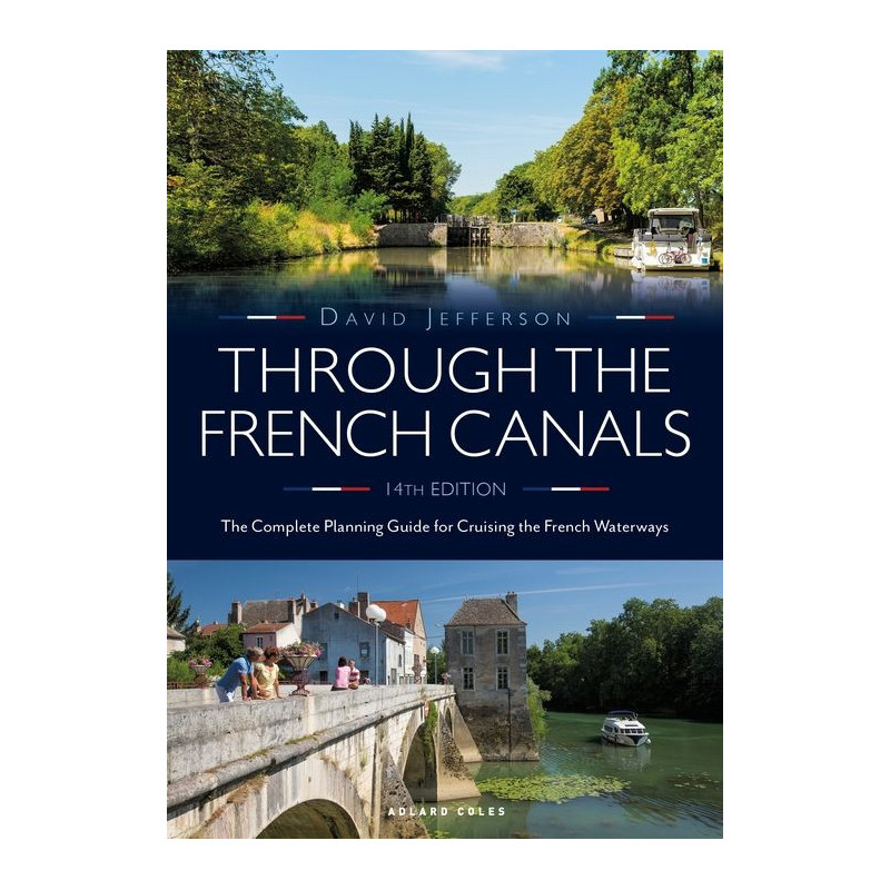



The ultimate guide to exploring France’s canals, featuring 50+ routes, lock specifics, bridge heights, and expert tips for smooth sailing from the Channel to the Mediterranean.
Data sheet
Specific References
Embark on the adventure of a lifetime with Through the French Waterways, the definitive guide that has inspired generations of boaters to explore France’s breathtaking inland waterways. Whether you dream of gliding through picturesque canals, navigating historic rivers, or making the legendary journey from the English Channel to the Mediterranean, this book is your indispensable companion. With over five decades of expertise, this newly revised edition is packed with everything you need to plan, execute, and savor your voyage with confidence.
Discover more than 50 meticulously detailed routes, each illustrated with vibrant maps and accompanied by precise lock locations, charming towns, and must-visit villages. From the tranquil canals of Burgundy to the sun-drenched waterways of Provence, this guide covers it all. Cross-reference key details like distances, recommended boat sizes, and lock dimensions to tailor your journey to your vessel’s specifications. Whether you’re piloting a narrowboat, a sailboat, or a motor cruiser, you’ll find the insights you need to navigate with ease.
Stay ahead of the curve with up-to-date information on bridge heights, canal depths, and lock operating hours, ensuring smooth sailing every step of the way. Learn where to refuel, restock supplies, and find safe overnight moorings, whether you prefer quiet rural stops or bustling marina hubs. The guide also decodes river signals and provides a practical cost-of-living breakdown, so you can budget for everything from mooring fees to local delicacies.
This edition goes beyond navigation, offering insider advice on weather resources, licensing fees (including the latest VNF tariffs), and even where to find waste disposal facilities and diesel fuel. Planning to rent a boat? The guide includes a curated list of reputable rental companies, ensuring you start your adventure on the right foot. With new photographs and updated local insights, you’ll feel like a seasoned local, even on your first trip.
Whether you’re a seasoned sailor or a first-time cruiser, Through the French Waterways transforms your travel dreams into reality. It’s not just about reaching your destination; it’s about immersing yourself in the culture, history, and natural beauty of France’s waterways. Let this book be your trusted co-captain as you chart a course through some of Europe’s most enchanting landscapes.
Unlock the Magic of France’s Canals with the Definitive Cruising Guide
Imagine gliding through sun-dappled canals, passing vineyard-covered hills, medieval villages, and bustling market towns—all at your own pace. Through the French Waterways is the ultimate resource for anyone dreaming of exploring France’s legendary inland waterways, whether for a weekend escape or an epic journey from the English Channel to the Mediterranean. This 14th edition, fully updated for 2021, combines decades of expertise with the latest practical information, making it the most trusted guide for boaters of all levels.
Plan Your Perfect Voyage with Confidence
This guide is your roadmap to adventure, featuring over 50 detailed routes that cover every major waterway in France. Each route is illustrated with clear maps and packed with essential details, including lock locations, distances, and recommended boat sizes. Whether you’re navigating the historic Canal du Midi or the scenic Burgundy canals, you’ll have all the tools you need to tailor your journey to your vessel and preferences. The book also includes critical data like bridge heights, canal depths, and lock operating hours, ensuring you avoid surprises and sail smoothly from start to finish.
Navigate Like a Local with Insider Tips
Beyond the technical details, Through the French Waterways is your gateway to experiencing France like a local. Discover the best spots to refuel, restock supplies, and enjoy overnight stays, from hidden rural gems to well-equipped marinas. The guide also demystifies river signals, provides a cost-of-living breakdown, and offers up-to-date information on licensing fees, waste disposal, and diesel availability. With new photographs and fresh insights into local facilities, you’ll feel prepared for every aspect of your journey, from logistics to leisure.
Your Companion for a Seamless and Memorable Adventure
Weighing in at 1.6 kg and spanning 328 pages, this paperback guide is designed for practicality, whether you’re referencing it at the helm or planning your next stop. Its compact dimensions (210 x 148 mm) make it easy to stow on board, while over 100 color photographs and maps bring the routes to life. Written in clear, accessible English, it’s perfect for boaters of all experience levels, from first-time cruisers to seasoned sailors. Let Through the French Waterways be your trusted companion as you create unforgettable memories on France’s enchanting waterways.
This 14th edition of Through the French Waterways is a comprehensive paperback guide, spanning 328 pages of expertly curated content. Measuring 210 x 148 mm and weighing 1.6 kg, it’s designed for easy handling and storage on board. Packed with over 100 color photographs and detailed maps, this 2021 edition ensures you have the most up-to-date and visually engaging resource for navigating France’s iconic waterways.
For over half a century, this publisher has been a trusted name in nautical literature, specializing in guides and resources that empower boaters to explore the world’s waterways with confidence. Their books are renowned for their accuracy, practicality, and ability to inspire both novice and experienced sailors alike, making them an essential part of any boater’s library.
The latest edition is the 14th, published in 2021 with updated information on routes, local facilities, and navigation costs.
The book includes lock dimensions, bridge heights, and canal depths, along with evaluations of suitable boat sizes for each route.
Yes, it provides details on overnight moorings, marinas, and recommended stops along the routes.
The book features over 100 color photographs and maps throughout to illustrate the routes and key locations.
Yes, it includes locations for diesel refueling, waste disposal tanks, and other essential services for boaters.
The guide measures 210 x 148 mm and weighs 1.6 kg, making it portable for planning and reference.