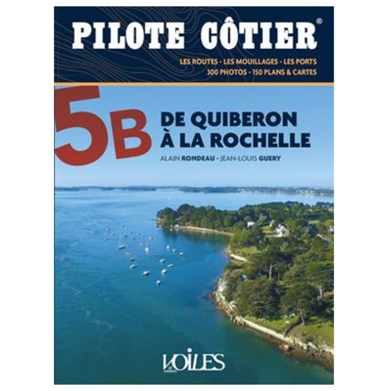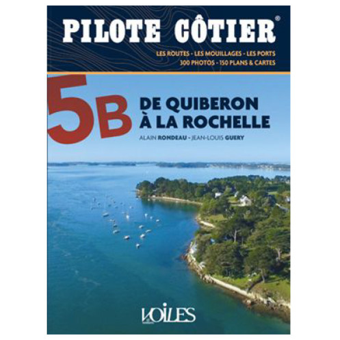




Navigate the stunning coast from Quiberon to La Rochelle with this trusted cruising guide. Packed with 960 photos, 66 route maps, and 56 harbor plans for safe and confident sailing.
Data sheet
Specific References
Master the Coastal Waters from Quiberon to La Rochelle with This Essential Navigation Guide
Explore one of France’s most scenic cruising regions with this detailed coastal pilot, covering over 200 nautical miles between Quiberon and La Rochelle. Designed as a vital companion to marine charts and GPS, this guide provides the local knowledge and practical insights needed to navigate safely and confidently. Whether you're planning a weekend getaway or an extended voyage, this resource ensures you’re prepared for every aspect of your journey.
Comprehensive Coverage for Every Sailor’s Needs
This guide is structured to deliver targeted information for each segment of your voyage, with chapters dedicated to specific cruising zones. Inside, you’ll find precise descriptions of port access, infrastructure, and amenities, supported by 56 detailed port and anchorage plans. High-resolution photos—including aerial views—offer a clear perspective of key landmarks, while data on buoys, ranges, lights, currents, and tides helps you navigate with precision. The 14th edition, updated in 2020, incorporates the latest corrections and refinements to ensure accuracy.
Built on Decades of Maritime Expertise
Trusted by sailors for over 40 years, this guide is the result of meticulous research and updates by Alain Rondeau and Jean-Louis Guéry, two leading figures in maritime navigation. Their expertise guarantees that every detail—from tidal calculations to harbor layouts—is thoroughly vetted. With 360 pages, 960 photos, and 66 route plans, this guide is packed with the tools you need to make informed decisions on the water.
Practical, Durable, and Easy to Use
Weighing just 0.82 kg, this paperback guide is lightweight and designed to withstand the rigors of life on board. Its 16 x 22 cm format fits easily in a navigation station or backpack, while the clear, organized layout ensures you can quickly find the information you need. Whether you're identifying a landmark, checking tidal streams, or planning your next stop, this guide is an indispensable tool for safe and enjoyable coastal cruising.
This coastal pilot guide is a 360-page paperback publication, updated in its 14th edition (2020). It features 960 high-quality photos and 66 route plans, along with 56 detailed port and anchorage plans. Measuring 16 x 22 cm and weighing 0.82 kg, it’s designed for durability and ease of use on board.
For over four decades, this collection has been a benchmark for coastal navigation guides, trusted by sailors for its accuracy, thoroughness, and practical approach. Each edition is meticulously updated by maritime experts to ensure the information remains current and reliable, making it an indispensable resource for cruising enthusiasts.
The guide covers 200 nautical miles from Quiberon to La Rochelle, detailing ports, navigation zones, and key landmarks along the Southern Brittany and Vendée coasts.
Each port includes detailed information on access routes, infrastructure, amenities, and precise plans with aerial photos, buoys, landmarks, alignments, lights, currents, and tidal data.
Yes, it is designed for both experienced sailors and novices, offering clear, practical navigation advice and safety information.
The guide contains 66 route plans and 56 detailed port and anchorage plans for easy navigation.
The guide weighs 0.82 kg and measures 16 x 22 cm, making it portable and easy to store on board.
This is the 14th edition, fully revised and corrected in 2020, ensuring up-to-date navigation data and safety information.
Yes, it provides comprehensive details on tides, currents, and other critical navigation factors for safe coastal sailing.
You might also like