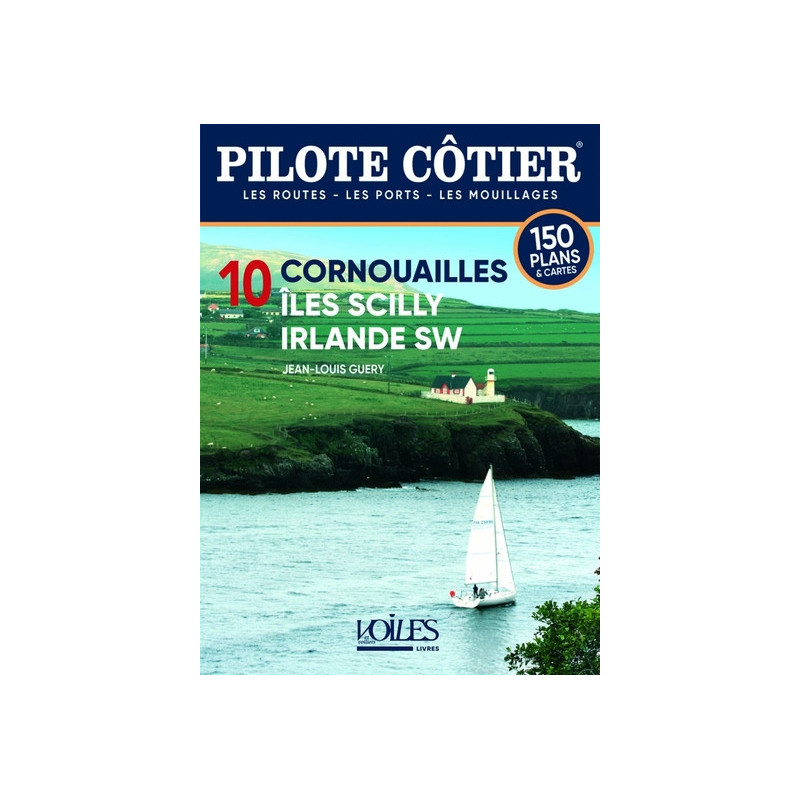




Navigate the stunning coasts of Cornwall, the Scilly Isles, and Southwest Ireland with this 2023 coastal guide. Packed with 900 photos, 180 color maps, and expert tips for safe and scenic sailing.
Data sheet
Specific References
Navigate the Atlantic’s Most Breathtaking Coasts with Confidence
Discover the ultimate sailing companion for exploring Cornwall, the Scilly Islands, and Southwest Ireland. This coastal pilot guide is meticulously crafted for boaters seeking detailed, reliable, and up-to-date information for safe and enjoyable navigation. Whether you're charting a course through Cornwall’s deep rias, anchoring in the tropical-like coves of the Scilly Islands, or venturing into Ireland’s wild fjords, this guide provides everything you need to navigate with precision and ease.
Comprehensive Coverage of Three Iconic Sailing Destinations
This guide offers unparalleled coverage of three of Europe’s most stunning coastal regions. Cornwall’s rugged coastline, with its deep inlets and picturesque fishing villages, provides a serene yet adventurous sailing experience. Just 25 miles off Land’s End, the Scilly Islands offer a stark contrast with their white sandy beaches, crystal-clear waters, and abundant wildlife. Further west, Southwest Ireland beckons with its dramatic fjords, deserted moors, and secluded anchorages. Each region is documented in exhaustive detail, ensuring you won’t miss a single highlight.
Precision Navigation Tools for Every Voyage
Equipped with 180 full-color charts and 900 high-resolution photos, this guide transforms navigation into a seamless experience. Detailed waypoints, tidal data, and coastal descriptions help you plot your course with accuracy, whether you're sailing by day or night. The guide also includes practical advice on local conditions, hazards, and the best anchorages, making it an indispensable tool for both planning and execution.
Expert Insights and Practical Tips for Sailors
Beyond navigation, this guide is packed with expert insights to enhance your sailing experience. Learn about local weather patterns, seasonal considerations, and the best times to visit each region. The book also provides tips on mooring, local regulations, and even wildlife spotting, ensuring you’re prepared for every aspect of your journey. Whether you're a seasoned sailor or a weekend cruiser, this guide is your trusted companion for a safe and memorable voyage.
Fully Updated for 2023: Your Trusted Onboard Resource
Stay ahead with the latest edition, fully revised and updated for 2023. Every detail—from port facilities to navigational hazards—has been reviewed to ensure accuracy and reliability. With 360 pages of expertly curated content, this guide is the most comprehensive and up-to-date resource for exploring Cornwall, the Scilly Islands, and Southwest Ireland. Don’t set sail without it.
This coastal pilot guide is designed for durability and ease of use, featuring a compact paperback format (16.2 x 22 x 2.4 cm) and weighing just 0.744 kg, making it ideal for onboard reference. With 360 pages, it includes 900 high-resolution color photos and 180 full-color charts, providing all the visual and navigational tools you need for safe and precise sailing along the coasts of Cornwall, the Scilly Islands, and Southwest Ireland.
For over two decades, this series has been the gold standard for coastal navigation guides, trusted by sailors and boaters worldwide. Each edition is meticulously researched and updated by seasoned mariners, ensuring accuracy, reliability, and practical insights for every voyage. Whether you're exploring familiar waters or venturing into new territories, this series remains an indispensable resource for safe and enjoyable sailing.
This guide covers the coasts of Cornwall, the Isles of Scilly, and the southwest of Ireland, including detailed navigation information for these regions.
The guide contains 180 color plans to assist with navigation and coastal exploration.
Yes, it provides up-to-date information for navigating both day and night in the covered areas.
The guide weighs 0.744 kg, making it portable and easy to carry onboard.
Yes, it includes 900 color photos to help visualize coastlines, ports, and anchorages.
The guide measures 16.20 x 22.00 x 2.40 cm, designed for convenient use on a boat.
No, the guide is only available in French.
You might also like