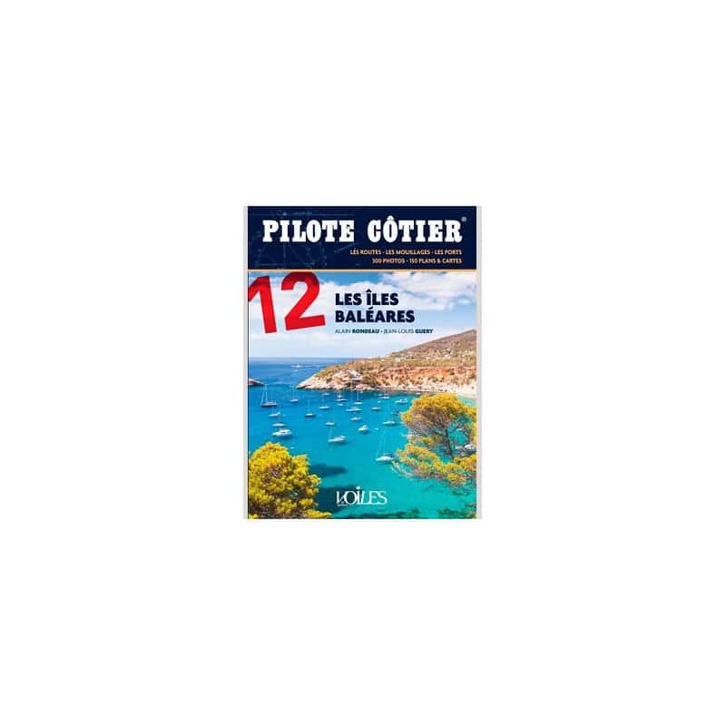




Explore the Balearic Islands like a pro with this comprehensive coastal pilot. Features 157 port plans, 730 photos, and expert insights on navigation, hazards, and mooring for all four islands.
Data sheet
Specific References
Explore the stunning Balearic Islands with confidence using this comprehensive coastal pilot guide. Designed for sailors and boaters, this meticulously updated 7th edition covers every critical detail of the archipelago, from the rugged shores of Menorca to the vibrant coasts of Formentera. Whether you're planning a leisurely cruise or a precise navigation, this guide ensures you have the most accurate and up-to-date information at your fingertips.
This guide is an indispensable tool for navigating the Balearic Islands, offering in-depth coverage of ports, anchorages, access channels, hazards, and navigational aids. Each section is organized by homogeneous navigation zones, making it easy to find the information you need quickly. With 730 high-quality photos, including aerial views, and 157 detailed port and anchorage plans, you'll have a clear visual reference to complement your charts and GPS. The guide also includes essential details on landmarks, alignments, and lights, ensuring safe navigation day and night.
Beyond navigation, this coastal pilot provides practical insights into the infrastructure and amenities available at each port and anchorage. Discover the best spots for mooring, refueling, and provisioning, along with local tips to enhance your sailing experience. The Balearic Islands are renowned for their sunny climate, moderate breezes, and intricate coastlines, and this guide helps you make the most of these natural advantages while avoiding potential pitfalls.
Revised and corrected by Jean-Louis Guéry for Voiles et Voiliers, this edition builds on decades of expertise to deliver a reliable and user-friendly resource. Whether you're a seasoned sailor or a weekend cruiser, this guide is your go-to reference for exploring the Balearic Islands with ease and confidence. It’s the perfect complement to your marine charts and GPS, ensuring a seamless and enjoyable journey across one of the Mediterranean’s most beloved sailing destinations.
Navigate the Balearic Islands with Precision and Confidence
Discover the ultimate sailing companion for the Balearic Islands with this comprehensive coastal pilot guide. Covering Menorca, Majorca, Ibiza, and Formentera, this 7th edition is a must-have for any sailor looking to explore these stunning Mediterranean destinations. Updated and revised by Jean-Louis Guéry for Voiles et Voiliers, this guide provides unparalleled accuracy and detail, ensuring you have all the information you need for a safe and enjoyable voyage.
Unmatched Detail for Safe Navigation
This guide offers an extensive overview of the Balearic Islands, including critical navigation details such as ports, anchorages, access channels, hazards, and navigational aids. With 324 pages packed with essential information, it’s designed to be your go-to resource for both day and night sailing. The guide is organized into chapters by homogeneous navigation zones, making it easy to find the information you need quickly and efficiently.
Visual Aids for Enhanced Navigation
Enhance your sailing experience with 730 high-quality photos, many of which are aerial shots, providing a unique perspective of the coastline. Additionally, the guide includes 157 detailed plans of ports and anchorages, giving you a clear visual reference to complement your marine charts and GPS. These visual aids are invaluable for identifying landmarks, alignments, and lights, ensuring you can navigate with confidence in any condition.
Practical Information for Every Port and Anchorage
Beyond navigation, this coastal pilot offers practical insights into the infrastructure and amenities available at each port and anchorage. From mooring options to refueling stations and local provisions, you’ll find all the details you need to plan your stops efficiently. The guide also highlights the unique characteristics of each island, from the secluded coves of Menorca to the lively beaches of Formentera, helping you make the most of your time in the Balearic Islands.
Designed for Sailors, by Sailors
This guide is crafted with the needs of sailors in mind, offering a perfect blend of technical precision and practical advice. Whether you're a seasoned navigator or a weekend cruiser, you’ll appreciate the clear, concise, and easy-to-use format. Measuring 16 x 22 cm and weighing just 1.1 kg, it’s compact enough to take anywhere, yet comprehensive enough to cover every aspect of your journey.
This coastal pilot guide for the Balearic Islands is a paperback edition with dimensions of 16 x 22 cm, making it compact and easy to carry on board. It spans 324 pages, packed with 730 high-quality photos and 157 detailed plans of ports and anchorages. Weighing just 1.1 kg, this guide is both lightweight and comprehensive, offering all the essential information you need for safe and enjoyable navigation.
With a legacy of providing reliable and detailed navigation resources, this publisher is a trusted name among sailors and boaters. Their guides are known for their accuracy, practical insights, and user-friendly format, making them an essential tool for anyone exploring the Mediterranean and beyond.
The guide covers the Balearic Islands, including Minorca, Majorca, Ibiza, and Formentera, with detailed navigation information for each area.
This edition includes 730 photos, many of which are aerial shots to help identify landmarks and navigation points.
Yes, the guide provides detailed port plans, alignements, and light information to assist with safe navigation both day and night.
The guide is paperback, making it lightweight and easy to handle while on board.
No, this edition is only available in French.
This is the 7th edition, revised and corrected in 2021, ensuring the most current navigation details for the covered areas.
Yes, it provides detailed information on hazards, buoyage, and safe access channels to ensure secure navigation.
You might also like