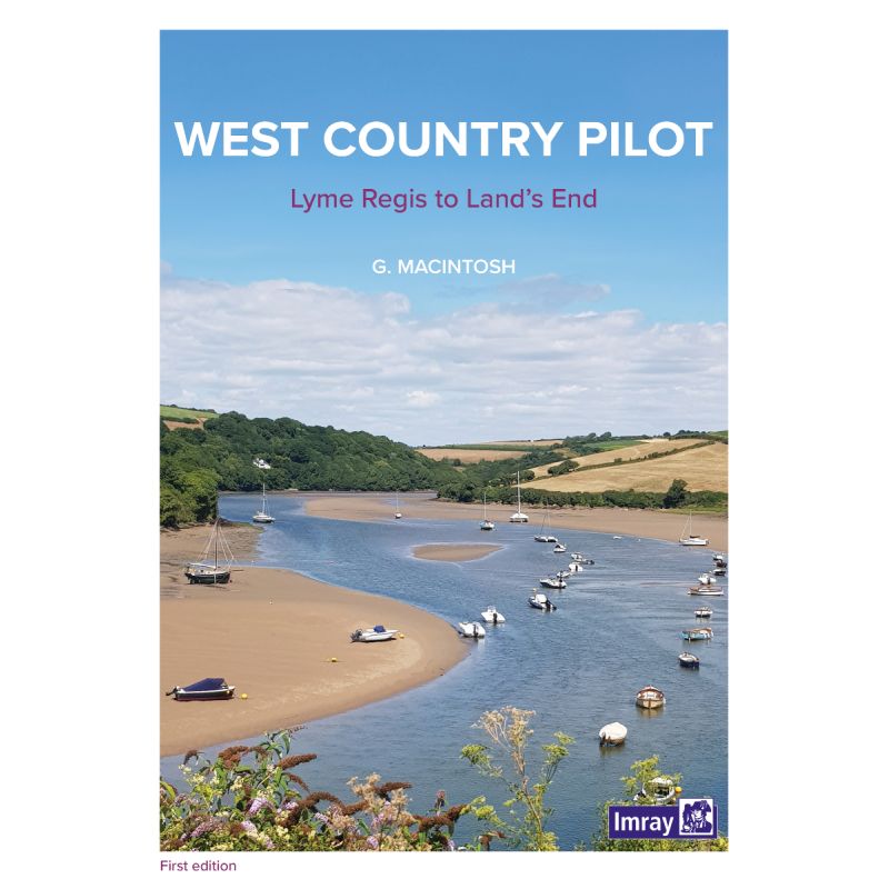
From Lyme Bay to Land’s End, this guide delivers expert navigation, harbor details, and local insights for sailing Southwest England’s breathtaking coastline with confidence.
Data sheet
Specific References
Unlock the Secrets of England’s Southwest Coastline
This authoritative nautical guide is your passport to the West Country’s most breathtaking coastal destinations, blending expert navigation with rich cultural and historical context. Covering the stretch from Lyme Bay to Land’s End and the Isles of Scilly, it’s an indispensable resource for boaters seeking both adventure and practicality. With its 2025 edition, you’ll have access to the most current data, ensuring safe passage through some of the UK’s most iconic and challenging waters.
Designed for Boaters, by Boaters
Weighing just 420 grams, this A4-sized paperback is built for durability and ease of use on deck. Its clear, concise layout organizes critical information—such as harbor facilities, tidal patterns, and emergency contacts—so you can make informed decisions quickly. Whether you’re plotting a course through the treacherous waters off Land’s End or searching for a quiet anchorage, the guide’s detailed entries and aerial photographs provide the clarity you need to navigate with confidence.
More Than Navigation: A Guide to Local Life
Beyond its technical precision, this guide offers a deep dive into the region’s unique character. Learn about the geological wonders of the Jurassic Coast, trace the footsteps of historical figures like William Cookworthy, or indulge in local culinary traditions with a recipe for authentic scones. The guide also highlights lesser-known attractions, from ancient fossil sites to scenic walking trails, ensuring your time ashore is as rewarding as your time on the water.
Built for the Modern Explorer
Combining traditional cartography with modern insights, this guide bridges the gap between navigation and exploration. Its integration with Ordnance Survey maps and large-scale town plans makes it easy to transition from sea to shore, while its focus on sustainability and local conservation efforts ensures you can enjoy the region responsibly. Whether you’re a seasoned sailor or a first-time visitor, this guide equips you with the knowledge to experience the West Country like a local.
This 2025 edition of *The West Country Nautical Guide* is a paperback publication in A4 format (210 x 297 mm), weighing 420 grams for easy handling on board. Written in English by authors Carlos Rojas and Susan Kemp-Wheeler, it covers the southern coasts of Devon and Cornwall, including key latitudes and longitudes for precise navigation. The guide is published by Imray Laurie Norie And Wilson Ltd and features updated charts, aerial photographs, and detailed maps to support safe and informed sailing.
With a legacy spanning over two centuries, this publisher is a trusted name in maritime navigation, renowned for producing high-quality charts, guides, and almanacs. Their publications are meticulously researched and updated annually, ensuring boaters have access to the most accurate and reliable information. Combining traditional craftsmanship with modern technology, their guides are designed to meet the needs of both recreational sailors and professional mariners, making them a staple on vessels worldwide.
The guide covers the coastline from Lyme Bay to Land's End and the Isles of Scilly, including southern Devon and Cornwall.
Yes, it includes geological history, human settlements, fossil sites, wildlife, local industries, and notable figures like Agatha Christie and Sir Francis Drake.
It features aerial photographs by Patrick Roach, Ordnance Survey road maps, and large-scale town plans for easy navigation onshore.
Absolutely, it provides detailed lists of facilities, points of interest, and practical information for exploring the region on foot or by road.
The guide is A4 size (210 x 297 mm) and weighs 420 grams, making it portable yet comprehensive.
Yes, it covers marine life such as seahorses and dolphins, as well as birds and wildflowers found in the region.
Yes, all information on passages, harbors, and anchorages is organized for quick and easy reference while sailing.
You might also like