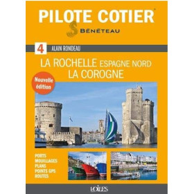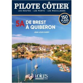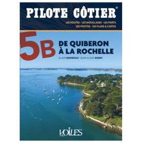

This coastal pilot for Saint-Malo to Brest delivers 200 maps, 900 photos, and expert tips to navigate tides, channels, and hidden harbors with confidence.
Data sheet
Specific References
Master the Art of Coastal Navigation with the Ultimate Guide from Saint Malo to Brest
Sailing along the northern coast of Brittany is a thrilling yet demanding experience, where shifting tides, powerful currents, and narrow channels test even the most skilled mariners. This comprehensive coastal pilot is your key to unlocking 190 nautical miles of stunning yet challenging waters, offering unparalleled local knowledge to ensure safe and confident navigation. Designed for recreational sailors, this guide combines expert insights, detailed charts, and practical advice to help you explore with ease.
Precision Navigation for One of Europe’s Most Complex Coastlines
The waters between Saint Malo and Brest are infamous for their extreme tidal ranges—up to 13.5 meters in the Bay of Saint Malo—and swift currents that can turn a routine passage into a high-stakes challenge. This guide provides critical details on navigating these conditions, including precise alignments for channels, warnings about hazardous areas, and strategies for timing your passages to avoid dangerous currents. With 200 detailed charts and plans, you’ll have the tools to safely navigate tight spots like the chenal du Four or the approaches to Ploumanac’h, where local knowledge makes all the difference.
Explore Hidden Gems and Iconic Harbors with Confidence
Beyond its technical guidance, this pilot is your gateway to discovering the region’s most captivating stops. From the charming fishing villages of Dahouet and Batz to the bustling marinas of Brest and Paimpol, every port is covered with practical information on mooring, tides, and local services. The guide also highlights the best anchorages, such as the sheltered coves of the Aber Wrac’h and the scenic beauty of the Île de Batz, ensuring you never miss a moment of what this stunning coastline has to offer.
Built for Sailors, Backed by Local Expertise
Compiled with input from hundreds of professional mariners who know these waters intimately, this guide is the most trusted resource for navigating northern Brittany. Its 388 pages are packed with 900 photographs of landmarks and beacons, providing visual confirmation of your position and enhancing situational awareness. The included CD-ROM offers digital tools for additional planning flexibility, while the durable paperback format ensures it stands up to the rigors of life on board. Whether you're a seasoned sailor or a weekend cruiser, this coastal pilot is the essential companion for your adventures along this legendary coastline.
This coastal pilot is a robust and comprehensive resource, featuring 388 pages packed with 900 high-resolution photographs and 200 detailed charts and plans. Weighing just 1.1 kg and measuring 219 x 163 x 22 mm, it’s designed for easy handling on board. The guide includes a CD-ROM for digital reference and covers a 190-nautical-mile stretch from Saint Malo to Brest, with critical data on tidal ranges up to 13.5 meters and precise coordinates for safe navigation.
For decades, this series has been the gold standard for coastal navigation guides, trusted by sailors exploring some of Europe’s most challenging waters. Each edition is meticulously researched and updated by marine experts, ensuring accuracy and reliability for recreational and professional mariners alike. The guides are renowned for their practical approach, combining detailed charts, local insights, and user-friendly formats to make navigation safer and more enjoyable.
The guide weighs 1.1 kg, making it portable and easy to handle on board.
The guide contains 900 photos, including landmarks and navigational markers.
Yes, the guide comes with a CD-ROM for additional digital reference.
The guide covers areas with a maximum tidal range of 13.5 meters.
The guide covers 190 nautical miles from Saint-Malo to Brest.
The guide includes 200 updated charts and plans of channels, ports, and navigational hazards.
No, the guide is currently available only in French.
You might also like