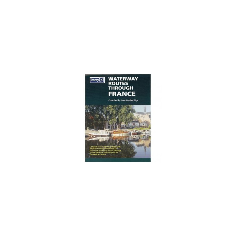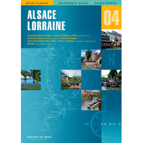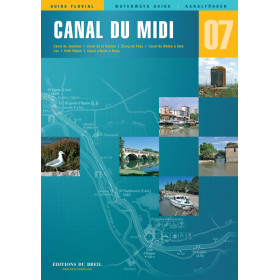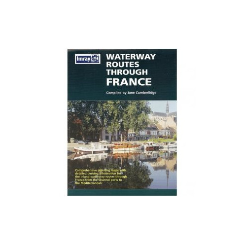


Imray - Waterway Routes Through France
search
  • googlemap
  • Imray - Waterway Routes Through France

Imray - Waterway Routes Through France

€15.75
Tax included
Imray
In English language
Estimated preparation time: 5 to 14 days

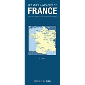
Plan your voyage through France’s waterways with this folded guide and map. Includes route descriptions, canal specs, distances, and moorings for a smooth trip from the Channel to the Mediterranean.

INL0235

Data sheet

What is the classification?
navigation book
On what digital medium is this nautical chart / book stored?
paper medium
What type of navigation book is this?
pilot
Picto
In English language

Specific References

UPC
400000055459
EAN13
4000000134053
New
Description détaillée

Waterway Routes Through France

Guide in English
Paperback edition

Your Essential Companion for Navigating France’s Inland Waterways

Planning a journey from the English Channel to the Mediterranean via France’s iconic canals and rivers? This comprehensive guide is tailored for boaters seeking a seamless and well-informed voyage through the heart of France. Designed to simplify route planning, it provides everything you need to navigate with confidence, from detailed maps to practical insights on waterway conditions, distances, and key stops along the way.

Whether you're a seasoned sailor or embarking on your first inland waterway adventure, this guide ensures you’re prepared for every aspect of your trip. It combines clear, easy-to-follow route descriptions with essential data on canal dimensions, lock systems, and long-term mooring options, allowing you to focus on the journey rather than the logistics.

Detailed Route Planning for a Stress-Free Voyage

This guide stands out for its meticulous attention to detail, offering boaters a complete overview of the waterways connecting northern and southern France. Each route is broken down into manageable segments, with precise distances and estimated travel times to help you plan your itinerary efficiently. The included planning charts are designed for clarity, featuring color-coded sections and annotations that highlight critical information such as bridge heights, lock locations, and potential hazards.

Beyond the maps, the guide provides in-depth descriptions of the waterways, including their unique characteristics—whether it’s the scenic beauty of the Canal du Midi or the industrial charm of the Seine. These insights allow you to tailor your journey to your preferences, whether you prioritize speed, scenery, or cultural stops.

Practical Information for Every Boater

Navigating France’s inland waterways requires more than just a map—it demands an understanding of the local infrastructure and regulations. This guide delivers practical advice on everything from mooring facilities to fuel and supply stops, ensuring you’re never caught off guard. It also includes recommendations for long-term moorings, making it ideal for boaters planning extended stays in specific regions.

The guide’s user-friendly format makes it easy to reference while on the water. Its foldable design allows for quick access to critical information without the need for bulky navigation tools. Whether you’re plotting your next stop or verifying canal dimensions, this guide is an indispensable tool for a smooth and enjoyable voyage.

Designed for Boaters, by Boaters

Written by Jane Cumberlidge, a seasoned expert in inland waterway navigation, this guide reflects years of firsthand experience and research. It’s crafted specifically for recreational boaters, with a focus on clarity, accuracy, and usability. The inclusion of photographs alongside the maps and descriptions adds a visual dimension, helping you recognize landmarks and key locations as you travel.

Whether you’re charting a course for a summer cruise or a long-term exploration, this guide ensures you have the knowledge and tools to navigate France’s waterways with ease. It’s more than just a book—it’s your trusted companion for an unforgettable boating adventure.

Navigate France’s Iconic Waterways with Confidence
Embarking on a journey through France’s inland waterways is a dream for many boaters, but without the right resources, it can quickly become overwhelming. This guide is your all-in-one solution for planning and executing a seamless voyage from the English Channel to the Mediterranean. Combining detailed route descriptions, precise planning charts, and practical advice, it’s designed to take the guesswork out of your trip and let you focus on the experience.Weighing just 1.2 kg and measuring 251 x 185 x 7 mm, this foldable guide is compact enough to store in any boat’s navigation station while still delivering comprehensive coverage. Its color-coded, double-sided pages provide at-a-glance information on canal dimensions, distances, and key landmarks, making it an indispensable tool for both short trips and extended cruises. Whether you’re navigating the historic Canal du Midi or the bustling waterways of the Seine, this guide ensures you’re always on the right path.Written in clear, accessible English, it’s tailored for international boaters who want to explore France’s waterways without language barriers. The guide’s practical layout includes space for personal notes, allowing you to customize it with your own observations and tips for future voyages. With this guide in hand, you’ll have everything you need to plan, navigate, and enjoy your journey with confidence.

Why This Guide Stands Out for Inland Waterway Navigation
What sets this guide apart is its focus on the unique challenges and opportunities of navigating France’s inland waterways. Unlike coastal navigation, inland routes require careful attention to canal dimensions, lock systems, and local regulations—all of which are covered in detail here. The guide includes up-to-date information on bridge heights, lock locations, and mooring facilities, ensuring you’re prepared for every aspect of your journey.The foldable format is another standout feature, designed for ease of use on the water. Unlike traditional books, it can be quickly unfolded to reference a specific route or folded compactly for storage. This makes it ideal for boaters who need instant access to critical information without fumbling through pages. Whether you’re plotting your next stop or verifying canal dimensions, this guide is built to keep up with the pace of your voyage.Beyond the technical details, the guide also offers insights into the cultural and scenic highlights along each route. From charming villages to historic landmarks, it helps you make the most of your journey by pointing out must-see stops and hidden gems. This blend of practicality and inspiration makes it more than just a navigation tool—it’s your gateway to an unforgettable boating adventure in France.



This guide is a paperback, foldable edition published in 2005, designed for easy reference on the water. It measures 251 x 185 x 7 mm and weighs 1.2 kg, making it compact yet comprehensive. The double-sided, color pages include detailed planning charts, route descriptions, and practical information on canal dimensions, distances, and mooring facilities. Written in English, it’s tailored for international boaters navigating France’s inland waterways.

With decades of experience in maritime publishing, this publisher is renowned for producing high-quality navigation guides and charts. Their products are trusted by boaters worldwide for their accuracy, clarity, and practicality, making them a go-to resource for both recreational and professional mariners.

  • This guide offers unparalleled convenience for boaters planning a voyage through France’s inland waterways.
  • Its foldable design ensures easy access to critical information, while the detailed route descriptions and planning charts simplify navigation.
  • The inclusion of canal dimensions, distances, and mooring facilities makes it a comprehensive tool for both short trips and long-term cruises.
  • Written in English, it eliminates language barriers, allowing international boaters to explore with confidence.
  • The compact size and lightweight build make it ideal for storage on any boat, ensuring you’re always prepared for your next adventure.
What is the latest edition year of this guide?

The latest edition of this guide was published in 2005.

Does this guide include lock dimensions for French waterways?

Yes, it provides detailed canal dimensions, including lock sizes, to assist with route planning.

Are the maps in this guide printed in color?

Yes, the maps and pages are printed in full color on both sides.

What is the weight of this folded guide?

The guide weighs approximately 1.2 kilograms.

Does this guide cover long-term mooring spots along the routes?

Yes, it includes information on long-term moorings along the waterways.

Is this guide suitable for planning a route from the English Channel to the Mediterranean?

Yes, it is specifically designed for planning a passage from the English Channel to the Mediterranean via French inland waterways.

What are the folded dimensions of this guide?

The folded dimensions are 251 x 185 x 7 millimeters.

Loading...