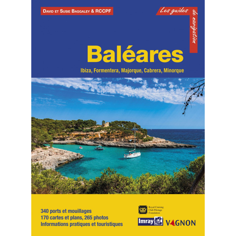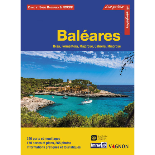




Unlock the best of the Balearics with this comprehensive guide. Detailed maps, 340 ports, and 210 photos cover Ibiza, Formentera, Majorca, Cabrera, and Menorca for effortless sailing adventures.
Data sheet
Specific References
Your Ultimate Companion for Exploring the Balearic Islands
This comprehensive cruising guide unlocks the full potential of the Balearic archipelago, offering boaters an unparalleled level of detail for safe and enjoyable navigation. Covering Ibiza, Formentera, Mallorca, Cabrera, and Menorca, this guide combines meticulous cartography with practical insights to transform your Mediterranean sailing experience. Whether you're planning a short coastal hop or an extended island-hopping adventure, this resource provides the critical information needed to navigate with confidence.
From Approach to Anchorage: A Complete Navigation Toolkit
Designed specifically for recreational boaters, this guide delivers a systematic breakdown of 340 ports and anchorages across the Balearic Islands. Each entry includes detailed descriptions of day and night approaches, precise mooring instructions, and essential services available at each location. The guide goes beyond basic navigation, offering practical advice on local facilities, shore-based activities, and points of interest to enhance your time on land. With 210 high-quality photographs complementing the detailed charts and plans, you'll have a clear visual reference for every stage of your journey.
Optimized for the Mediterranean's Most Diverse Cruising Grounds
The Balearic Islands present a unique blend of navigational challenges and rewards, from the bustling marinas of Palma de Mallorca to the secluded coves of Cabrera. This guide addresses the specific needs of sailors in this region, including short inter-island distances, varied coastal topography, and the distinct character of each island group. The content is structured to help you make the most of the archipelago's compact geography, allowing for efficient route planning and spontaneous detours to hidden gems. Whether you're seeking lively ports or tranquil anchorages, the guide provides the insights needed to navigate this stunning yet complex cruising area with ease.
Insights from a Seasoned Navigator with 30 Years of Local Knowledge
Compiled by Graham Hutt, an anthropologist and experienced Mediterranean sailor, this guide benefits from three decades of firsthand exploration in the region. The author's deep understanding of the Balearic Islands' cultural and nautical landscape ensures that the information is both accurate and practical. From local customs to seasonal weather patterns, the guide incorporates the nuances that only long-term experience can provide, giving you the confidence to explore with the insight of a seasoned local.
Navigate the Balearic Islands with Confidence Using This Essential Cruising Guide
This 312-page guide is the definitive resource for boaters exploring the Balearic archipelago, offering unmatched coverage of 340 ports and anchorages across Ibiza, Formentera, Mallorca, Cabrera, and Menorca. Designed for both seasoned sailors and first-time visitors, the guide combines detailed cartography with practical information to ensure safe and enjoyable navigation. With 210 high-resolution photographs and full-color charts, it provides a clear visual reference for every stage of your journey, from approach to anchorage.
Comprehensive Coverage for Every Type of Boater
The guide delivers a systematic breakdown of each location, including precise details on day and night approaches, mooring options, and available services. Whether you're navigating the cosmopolitan ports of Palma de Mallorca or seeking out the secluded coves of Cabrera, you'll find the information needed to plan your route with confidence. The guide also includes practical advice on local facilities, shore-based activities, and points of interest, making it an invaluable tool for both navigation and trip planning.
Optimized for the Unique Challenges of the Balearic Islands
The Balearic archipelago presents a diverse range of navigational conditions, from short inter-island hops to varied coastal topography. This guide is tailored to address these challenges, offering insights into the region's compact geography and distinct island groups. With a focus on efficiency and flexibility, it allows you to plan routes that maximize your time on the water while leaving room for spontaneous exploration. The guide's dimensions of 21 x 28.5 cm make it easy to handle on board, while its durable softcover ensures it withstands the rigors of life at sea.
Expert Insights from a Trusted Source
Compiled by Graham Hutt, a navigator with over 30 years of experience in the Mediterranean, this guide reflects a deep understanding of the region's nautical and cultural landscape. The author's expertise ensures that the information is both accurate and practical, covering everything from local customs to seasonal weather patterns. Whether you're a weekend sailor or a long-distance cruiser, this guide provides the tools you need to explore the Balearic Islands with the confidence of a seasoned local.
This cruising guide offers comprehensive coverage of the Balearic Islands, featuring 312 pages of detailed information on 340 ports and anchorages. The guide includes 210 high-resolution photographs and full-color charts, providing a clear visual reference for navigation. Measuring 21 x 28.5 cm and weighing 1.6 kg, it is designed for easy handling on board. Published in January 2019, this French-language guide is an essential tool for boaters exploring Ibiza, Formentera, Mallorca, Cabrera, and Menorca.
With a legacy rooted in maritime excellence, this publisher has established itself as a global leader in nautical cartography and cruising guides. Renowned for their precision and reliability, their publications are trusted by sailors worldwide to provide accurate, up-to-date information for safe and enjoyable navigation. Each guide is crafted with a focus on practicality, combining detailed charts with expert insights to enhance the cruising experience.
The guide weighs 1.6 kg, making it portable yet comprehensive for navigation planning.
The guide covers 340 ports and anchorages across the covered islands.
Yes, the guide includes detailed approaches for both day and night navigation.
It features a softcover binding in full color, designed for durability and ease of use.
Yes, it provides practical and tourist information for each port, island, or bay covered.
The guide measures 21 cm x 28.5 cm, offering a clear and readable format for charts and photos.
The guide contains 210 photos to complement the detailed charts and descriptions.
You might also like