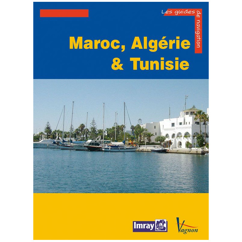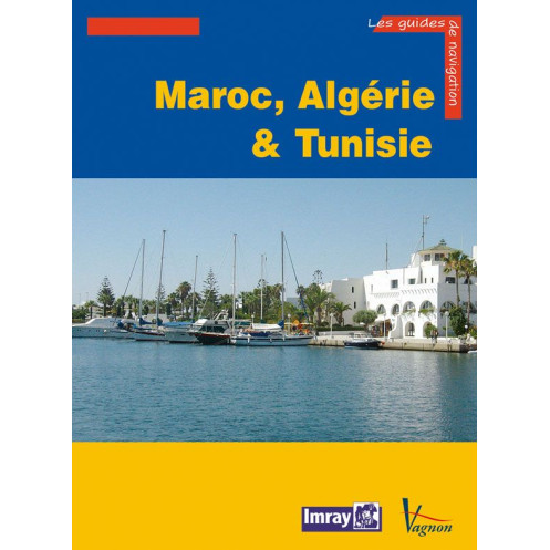




Navigate North Africa’s coasts with confidence using this expert guide covering Morocco, Algeria, and Tunisia. Packed with 204 ports, 218 photos, and detailed charts for safe anchoring day or night.
Data sheet
Specific References
Navigate with confidence along North Africa’s stunning coastlines
This comprehensive cruising guide is your ultimate resource for exploring the waters of Morocco, Algeria, and Tunisia, along with key destinations in Gibraltar, Libya, Pantelleria, the Pelagie Islands, and Malta. Designed for sailors seeking detailed, reliable information, this guide provides everything you need to plan safe and enjoyable voyages along some of the Mediterranean’s most diverse and culturally rich shores.
Detailed descriptions of 204 ports and anchorages
From bustling marinas to secluded coves, this guide offers in-depth coverage of 204 ports and anchorages, ensuring you have the most up-to-date information at your fingertips. Each entry includes precise navigation details, approach instructions for day and night, mooring options, and essential services available onshore. Whether you're docking in a major port or dropping anchor in a quiet bay, you’ll find the guidance you need to navigate safely and efficiently.
218 photos, charts, and detailed maps
Enhance your journey with 218 high-quality photos, charts, and maps that bring each destination to life. These visual aids provide clear representations of harbors, landmarks, and coastal features, helping you identify key points of interest and navigate with ease. The combination of detailed illustrations and practical information ensures you can plan your route with confidence, even in unfamiliar waters.
Expert advice on local conditions and services
Beyond navigation, this guide offers valuable insights into local conditions, including weather patterns, tidal information, and regional regulations. You’ll also find practical advice on amenities such as fuel stations, water supplies, repair services, and provisions, ensuring you’re well-prepared for every stop. Additionally, the guide includes tips on cultural etiquette and must-see attractions, making it easier to explore the rich history and vibrant cultures of the region.
Crafted by an experienced sailor and anthropologist
Written by Graham Hutt, an anthropologist and seasoned sailor with extensive experience in Mediterranean waters, this guide combines technical expertise with a deep understanding of the region’s unique challenges and opportunities. Whether you’re a seasoned cruiser or embarking on your first Mediterranean voyage, this guide provides the knowledge and confidence you need to make the most of your journey.
Explore North Africa’s coastlines with the most trusted cruising guide in French
This essential guide is your go-to resource for navigating the waters of Morocco, Algeria, and Tunisia, offering unparalleled detail and accuracy. With 308 pages of expertly curated information, it covers 204 ports and anchorages, providing sailors with everything from precise navigation instructions to practical advice on local services and attractions. Whether you're planning a short coastal hop or an extended voyage, this guide ensures you have the tools to navigate safely and explore with confidence.
Designed for sailors, by sailors
Created by a navigator with deep expertise in Mediterranean waters, this guide is tailored to the needs of cruisers. It includes 218 photos, charts, and maps to help you visualize each destination, along with detailed descriptions of approaches, mooring options, and onshore facilities. The guide’s large format (21 x 29.7 cm) makes it easy to read and reference, whether you're on deck or planning your next stop.
Comprehensive coverage of a diverse region
From the Atlantic coast of Morocco to the historic shores of Tunisia and the strategic waters of Gibraltar, this guide spans a vast and varied region. It also includes key destinations in Libya, Pantelleria, the Pelagie Islands, and Malta, making it an indispensable tool for sailors exploring the central and western Mediterranean. With its focus on practicality and accuracy, this guide is the perfect companion for any cruising adventure.
This cruising guide features 308 pages of detailed information, including 204 port and anchorage descriptions, 218 photos, and full-color charts. Measuring 21 x 29.7 cm and weighing 1.7 kg, it is designed for easy handling and durability. The paperback edition is published in French and covers a wide geographic area, from the Sahara Occidental to Malta, with precise coordinates for navigation.
With a legacy of excellence in maritime publishing, this guide is part of a renowned collection trusted by sailors worldwide. Known for their precision, reliability, and attention to detail, these guides are crafted to meet the needs of both recreational and experienced cruisers, ensuring safe and enjoyable voyages.
The guide covers coastal areas from Gibraltar (Spain), Morocco (Atlantic and Mediterranean), Algeria, Tunisia, Libya (from Tobrouk to Zuwarah), Pantelleria, the Pelagie Islands (between Tunisia and Sicily), and Malta.
The guide provides detailed descriptions of 204 ports and anchorages, including navigation approaches, mooring options, and available services.
The guide includes 218 photos, maps, and plans with both black-and-white and color illustrations for clear navigation reference.
The guide is paperback (broché) with a durable binding suitable for onboard use.
Yes, it includes detailed nighttime approach instructions for ports and anchorages, along with daytime navigation guidance.
The guide measures 21 x 29.7 cm (format 30 x 21 cm) and weighs 1.7 kg, making it practical for onboard storage.
Yes, it provides local insights and tourist advice for each port and anchorage, alongside technical navigation details.
You might also like