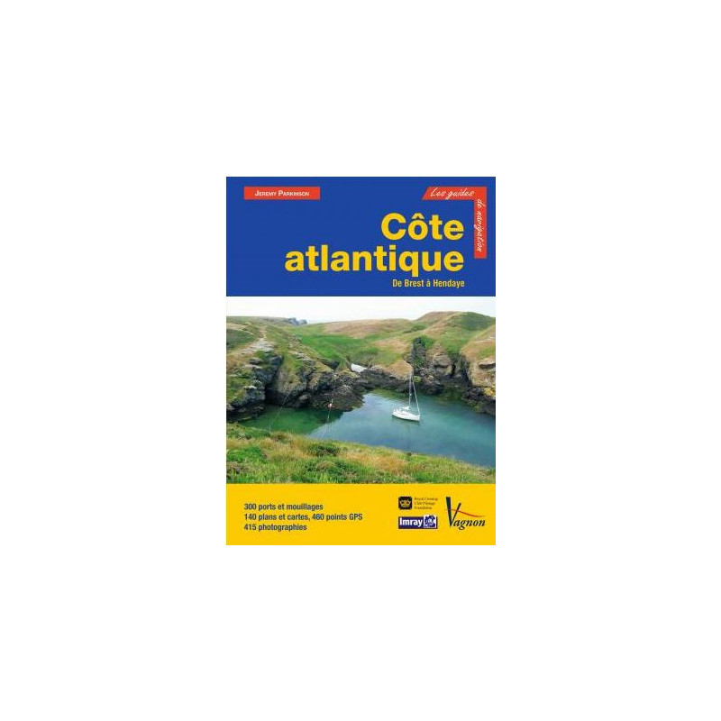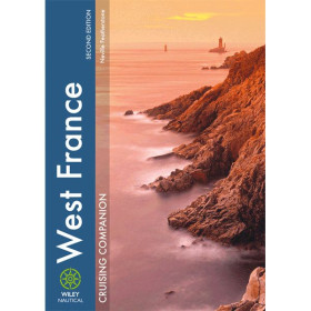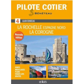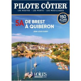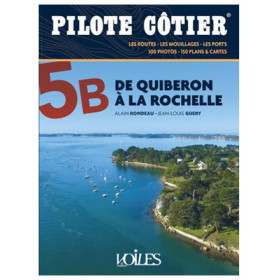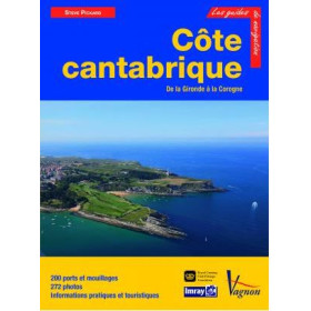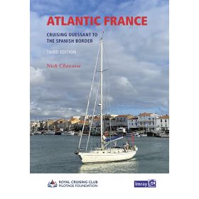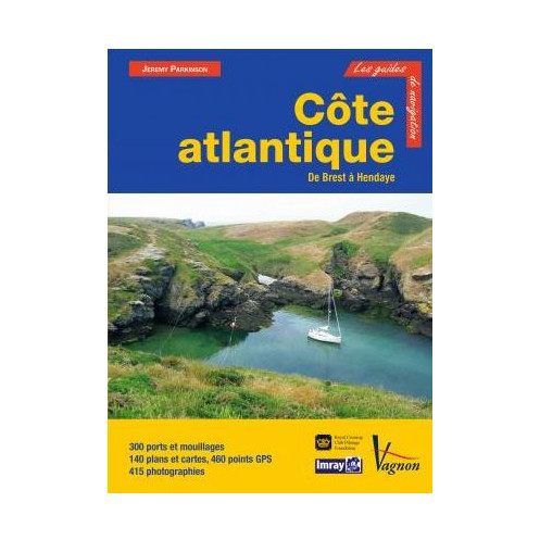




Your essential guide to navigating the Atlantic Coast from Brest to Hendaye, featuring 310 ports, 150 detailed maps, and 460 GPS points for safe and precise sailing.
Data sheet
Specific References
Navigate the French Atlantic coast with confidence using this comprehensive cruising guide, meticulously crafted for sailors and boaters. Covering the entire stretch from Brest to Hendaye, this guide is your ultimate resource for safe and enjoyable voyages along one of Europe’s most diverse and scenic coastlines. Whether you're exploring the rugged shores of Brittany, the sheltered bays of the Vendée, or the vibrant ports of the Basque Country, this guide provides all the critical information you need for seamless navigation.
This guide offers in-depth descriptions of over 310 ports and anchorages, ensuring you have access to the most accurate and up-to-date information for every stop along your journey. Each entry includes precise waypoints, potential hazards, navigational aids, and detailed instructions for both day and night approaches. With 460 GPS points, you can rely on pinpoint accuracy for safe passage, while 150 maps and charts provide clear visual references for planning your route. Whether you're docking at a bustling marina or dropping anchor in a secluded cove, this guide covers all the essentials, from mooring options to local services and shore-based attractions.
Written by experienced sailors and navigation experts, this guide combines practical advice with real-world insights to enhance your cruising experience. The authors, including former Royal Navy officer John Lawson and Atlantic navigators Mike and Gill Barron, bring decades of maritime expertise to every page. Their knowledge of electronic navigation, local conditions, and seasonal challenges ensures that you’re prepared for anything the Atlantic coast can throw your way. From tidal considerations to weather patterns, this guide equips you with the tools to navigate safely and efficiently.
Enhance your understanding of each destination with 350 high-quality photographs that offer a visual preview of ports, landmarks, and coastal features. These images, paired with detailed maps and charts, help you identify key navigational markers and plan your approach with ease. Whether you're navigating the intricate channels of the Gironde estuary or the open waters of the Bay of Biscay, the combination of visual and written guidance ensures you never miss a critical detail.
This guide spans the entire French Atlantic coastline, from the dramatic cliffs of Finistère to the sun-drenched shores of the Basque Country. Explore the hidden gems of the Breton rias, the historic ports of the Vendée, and the iconic landmarks of the Bay of Arcachon. Each region is covered in exhaustive detail, with information on local marinas, fuel docks, repair facilities, and provisions. Whether you're planning a short coastal hop or an extended cruise, this guide provides the insights you need to make the most of every stop.
Built to withstand the rigors of life on the water, this guide features a durable hardcover binding and a convenient lay-flat design for easy reference while underway. Its large format (21 x 28.7 cm) ensures that maps and charts are easy to read, even in challenging conditions. With 332 pages of expertly curated content, this guide is an indispensable tool for any sailor exploring the Atlantic coast.
Master the French Atlantic Coast with Unmatched Precision
This cruising guide is your ultimate resource for navigating the French Atlantic coast, offering unparalleled detail and accuracy for sailors and boaters. Covering the entire stretch from Brest to Hendaye, it provides comprehensive coverage of over 310 ports and anchorages, ensuring you have all the information you need for a safe and enjoyable voyage. With 150 detailed maps and charts, 460 GPS waypoints, and 350 photographs, this guide combines visual and written guidance to help you plan every aspect of your journey with confidence.
Expert Navigation for Every Level of Sailor
Whether you're a seasoned mariner or a weekend cruiser, this guide is designed to meet your needs. It includes precise waypoints, hazard warnings, and navigational aids for both day and night approaches, ensuring you can navigate safely in any conditions. The guide also provides detailed descriptions of local services, from marinas and fuel docks to repair facilities and provisions, making it easy to plan stops and resupply along the way. With insights from experienced sailors, including former Royal Navy officers, you can trust this guide to provide reliable and practical advice for every leg of your journey.
Durable and Practical for Life on the Water
Built to withstand the demands of maritime use, this guide features a sturdy hardcover binding and a lay-flat design for easy reference while underway. Its large format (21 x 28.7 cm) ensures that maps and charts are clear and easy to read, even in challenging conditions. With 332 pages of expertly curated content, this guide is an essential companion for anyone exploring the diverse and dynamic waters of the French Atlantic coast.
This cruising guide is packed with essential technical details to support your navigation. It includes 310 ports and anchorages, 150 maps and charts, and 460 GPS waypoints for precise positioning. The guide also features 350 photographs to aid in visual identification of landmarks and coastal features. Published in 2015, this 332-page hardcover edition measures 21 x 28.7 cm and weighs 1.7 kg, making it durable and practical for use at sea.
With a legacy rooted in maritime excellence, this publisher is renowned for producing high-quality navigation guides and charts trusted by sailors worldwide. Their publications are crafted by experienced mariners and navigation experts, ensuring accuracy, reliability, and practicality for both recreational and professional boaters. Each guide is designed to meet the demands of life at sea, combining detailed technical information with user-friendly features to enhance the cruising experience.
The guide covers the French Atlantic coast from Brest to Hendaye, including Finistère, Bénodet Bay, Groix and the rias, Quiberon Bay, Vilaine and Loire rivers, Vendée, Charente, Gironde, the Landes coast, Arcachon Basin, and Basque ports.
Yes, the 460 GPS points included in the guide are provided in WGS84 format, the standard for marine navigation.
Yes, each port, island, or bay includes detailed approach instructions for both daytime and nighttime navigation.
The guide is hardcover with a sturdy binding, designed for durability in marine environments.
The guide provides comprehensive information on 310 ports and anchorages along the covered coastline.
Yes, the guide integrates electronic navigation aids, including GPS waypoints and digital navigation considerations.
The guide weighs approximately 1.7 kg, making it portable yet comprehensive for onboard use.
You might also like