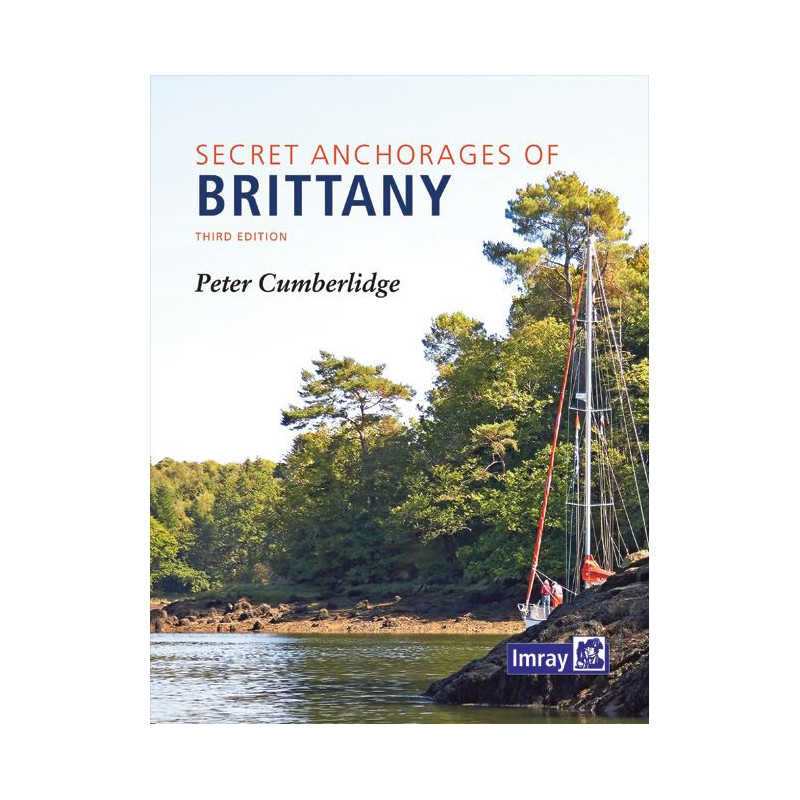




Discover 100+ secret anchorages along Brittany’s coast with this expert guide. Features verified charts, vivid photos, and insider tips for exploring hidden coves and islands safely.
Data sheet
Specific References
Discover over 100 secluded and breathtaking anchorages along Brittany’s rugged shores with this meticulously crafted nautical guide. Designed for sailors and adventurers, this book reveals the best-kept secrets of the Breton coast, from the Bay of Mont Saint-Michel to the Loire Estuary, including remote islands, winding rivers, and sheltered coves. Whether you're seeking solitude, scenic beauty, or safe harbor, this guide provides the precise directions and local insights you need to navigate with confidence.
Written by seasoned sailor Peter Cumberlidge, this third edition is the result of extensive on-the-water exploration and verification. Every anchorage has been cross-checked against official Admiralty and SHOM charts, ensuring accuracy and reliability. Vibrant full-color maps, detailed photographs, and vivid descriptions bring each location to life, while historical anecdotes and maritime traditions add depth to your journey. With 294 pages of expert guidance, this guide is an indispensable companion for those who crave adventure beyond the well-trodden paths.
Spanning 300 miles of coastline, this guide covers a vast and diverse region, from the dramatic cliffs of the Cotentin Peninsula to the tranquil islands of Chausey. Each entry includes essential details such as depth, tidal information, and local hazards, allowing you to plan your stops with precision. Whether you're a weekend cruiser or a long-distance voyager, this book equips you with the knowledge to explore Brittany’s hidden corners safely and efficiently.
Durable and portable, this hardback guide is built to withstand the rigors of life on the water. Its compact 246 x 189 mm dimensions make it easy to store on board, while the high-quality printing ensures clarity and readability in all conditions. With its wealth of practical information and stunning visuals, this guide is more than just a book—it’s your passport to unforgettable sailing experiences along one of Europe’s most captivating coastlines.
Explore Brittany’s Best-Kept Sailing Secrets
This comprehensive nautical guide is your key to uncovering over 100 hidden anchorages along Brittany’s stunning coastline. Perfect for sailors who seek adventure off the beaten path, this book provides precise directions, detailed maps, and local insights for navigating the region’s most secluded coves, rivers, and islands. From the Bay of Mont Saint-Michel to the Loire Estuary, it covers 300 miles of diverse and breathtaking shoreline, ensuring you never miss a hidden gem.
Expertly Crafted for Accuracy and Reliability
Written by experienced sailor Peter Cumberlidge, this third edition has been meticulously researched and verified against official Admiralty and SHOM charts. Every anchorage is accompanied by full-color maps, photographs, and practical details such as depth, tidal information, and potential hazards. Whether you're planning a short cruise or an extended voyage, this guide delivers the confidence and knowledge you need to navigate safely and efficiently.
Rich in History and Local Flavor
Beyond its practical navigation tips, this guide immerses you in the culture and history of Brittany’s maritime traditions. Each entry is enriched with anecdotes, local stories, and insights into the unique character of the region. With 294 pages of expertly curated content, this book is as much a celebration of Brittany’s coastal heritage as it is a trusted sailing companion.
Durable, Portable, and Built for Adventure
Designed for life on the water, this hardback guide is both sturdy and compact, measuring 246 x 189 mm for easy storage on board. Its high-quality printing ensures durability and readability in all conditions, making it the perfect tool for sailors who demand reliability. Whether you're a seasoned explorer or a weekend cruiser, this guide is your essential resource for discovering the hidden treasures of Brittany’s coastline.
This guide features a hardback binding for durability, with dimensions of 246 x 189 mm and a total of 294 full-color pages. Weighing 1.2 kg, it is designed to be both portable and resilient, making it ideal for use on board. The third edition, published in 2016, includes updated and verified anchorage details, ensuring accuracy for safe navigation along Brittany’s 300-mile coastline.
With decades of experience in nautical publishing, this publisher is renowned for producing high-quality guides and charts trusted by sailors worldwide. Their publications are celebrated for their accuracy, attention to detail, and practical insights, making them an essential resource for both recreational and professional mariners.
The guide covers over 300 miles of coastline, from the Bay of Mont Saint-Michel to the Loire estuary, including rivers, estuaries, offshore islands, and hidden natural anchorages along Brittany.
Yes, the anchorage maps have been redrawn and verified against Admiralty or French SHOM charts to ensure accuracy and reliability.
The guide provides directions for more than 100 secret and natural anchorages along the Breton coast.
While the guide offers concise directions and detailed maps, some familiarity with coastal navigation is recommended due to the focus on lesser-known anchorages.
Yes, it features anecdotes about maritime traditions, local life, and the history of the Brittany coast alongside practical navigation details.
The book measures 246 x 189 mm, weighs 1.2 kg, and is 294 pages long, making it durable for onboard use.
You might also like