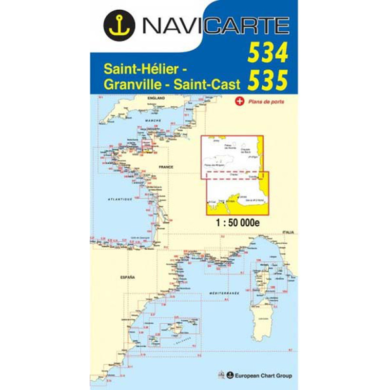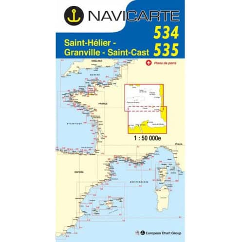





Navigate the Channel with precision using this dual marine chart covering Saint Hélier to Saint Cast. Waterproof, tear-resistant, and SHOM-certified for reliable coastal and offshore sailing.
Data sheet
Specific References
Designed for sailors who demand precision and reliability, this nautical chart delivers unmatched clarity for safe and confident navigation along the English Channel. Whether you're planning a coastal cruise or a longer voyage, this chart provides all the essential details to navigate with ease, from shallow waters to key landmarks.
This nautical chart is part of a trusted series used by recreational and professional sailors alike. Whether you're navigating familiar waters or exploring new coastlines, it provides the confidence and precision needed to sail safely. Its combination of durability, clarity, and official certification makes it an indispensable tool for any voyage along the English Channel.
Navigate the English Channel with confidence using this high-precision nautical chart.
Covering the coastal and offshore waters between Saint Hélier and Saint Cast, this double-sided nautical chart is an essential tool for sailors exploring the English Channel. Designed for both recreational and professional use, it provides detailed hydrographic information, including depth contours, navigational hazards, and key landmarks, all presented in a clear, easy-to-read format. With an official scale of 1:50,000, it offers the perfect balance between broad coverage and fine detail, making it ideal for planning routes and navigating safely.
Engineered for durability and practicality at sea.
Printed on high-quality, latex-coated paper, this chart is built to withstand the harsh marine environment. Its moisture-resistant and tear-proof material ensures longevity, even with frequent handling, while the compact folded format (approximately 6.5 × 12.4 inches) makes it easy to store and use on board. The chart is also designed for real-world navigation, featuring bilingual (French/English) labels and compatibility with WGS 84, the global GPS standard. Whether you're plotting a course, marking waypoints, or cross-referencing with electronic systems, this chart delivers reliability and convenience.
Trusted by sailors for accurate and up-to-date navigation.
Produced under an official agreement with the French Hydrographic Office (SHOM), this nautical chart adheres to the highest standards of accuracy and reliability. Regular updates ensure that you have the latest hydrographic data, including changes in seabed topography, navigational aids, and potential hazards. The chart's color-coded system simplifies interpretation, with clear symbols for dangers, buoys, lights, and other critical features. Whether you're navigating coastal waters or venturing offshore, this chart provides the confidence and precision needed for a safe and enjoyable voyage.
This nautical chart combines precision and practicality, covering the English Channel between Saint Hélier and Saint Cast at a 1:50,000 scale. Printed on durable, latex-coated paper, it resists moisture and folding while providing clear, bilingual (French/English) navigation details. Compatible with WGS 84, it integrates seamlessly with GPS systems and includes port insets for detailed harbor navigation. Weighing just 0.090 kg, it folds to a compact 166 × 315 mm for easy storage and use on board.
With over five decades of expertise in marine equipment, this nautical chart series is backed by a legacy of innovation and reliability. Produced under an official partnership with the French Hydrographic Office (SHOM), it upholds the highest standards of accuracy and durability, making it a trusted choice for sailors navigating the English Channel and beyond.
The chart is drawn at a scale of 1:50,000, providing detailed coverage of coastal and offshore areas between Saint Helier and Saint Cast.
The chart is printed on latex-coated paper, making it resistant to moisture and repeated folding, allowing you to write and erase navigation notes.
Depending on the area, the chart may include one or more harbor insets, providing detailed views of specific ports.
The chart is compatible with the WGS 84 reference system, ensuring accuracy when used alongside GPS devices.
The chart is periodically reissued to reflect the latest hydrographic data, ensuring reliable and up-to-date navigation information.
Yes, the chart covers both coastal and offshore areas, making it suitable for various types of boating in the English Channel.
When folded, the chart measures approximately 166 × 315 mm, making it easy to store and handle on board.
You might also like