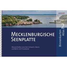
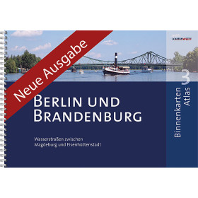
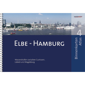
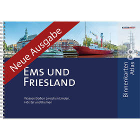
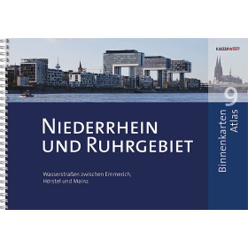
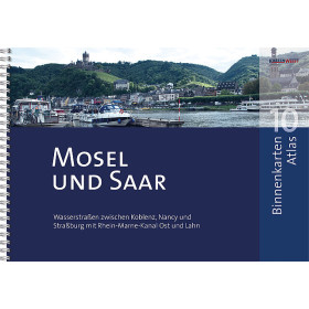
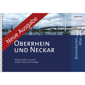
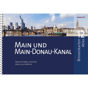
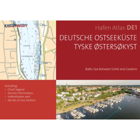
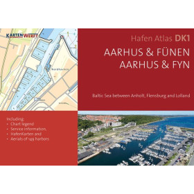
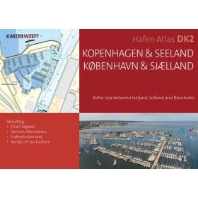
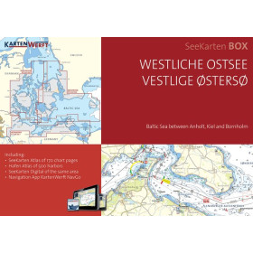
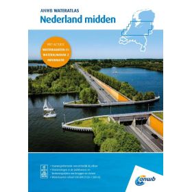
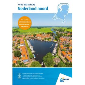
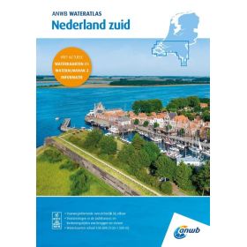
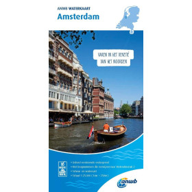
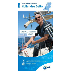
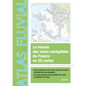
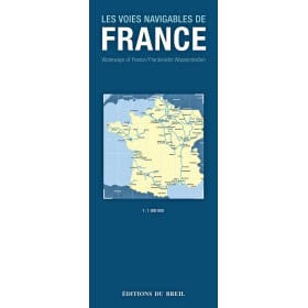
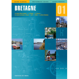
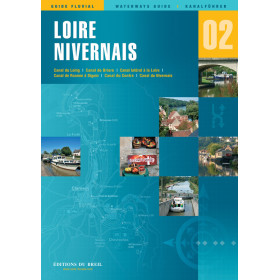
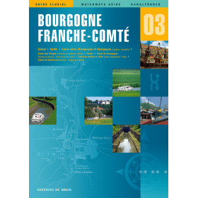
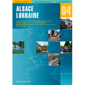
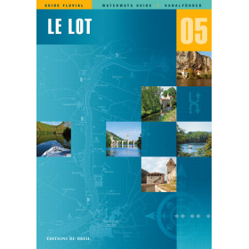
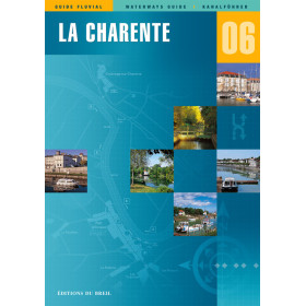
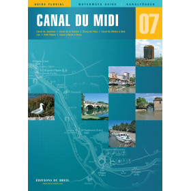
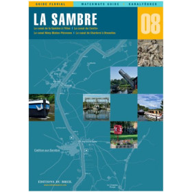
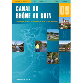
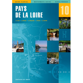
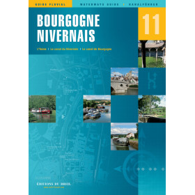
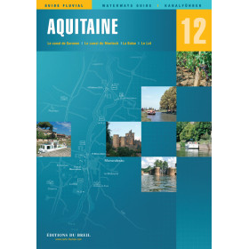
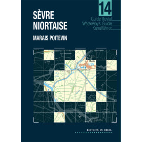
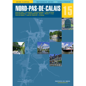
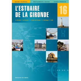
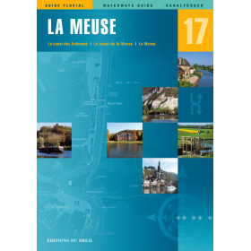
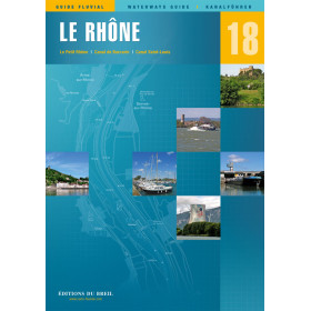
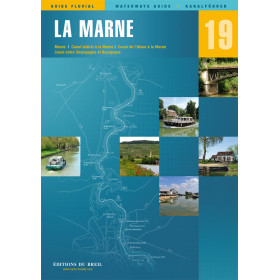
River charts and guides from the experts
Specialist inland waterway charts and guides support voyage planning and navigation on rivers, canals and navigable waterways throughout France and Europe. These nautical publications provide practical information on locks, inland ports, bridges, draught restrictions, vertical clearances, buoyage, mooring areas and navigable routes. They are particularly useful for planning navigation on the Seine, Loire, Rhône, Saône, Garonne and Rhine, as well as on major European canal networks. Specialist publishers and organisations provide inland waterway charts and guides designed for recreational boating, professional inland navigation and maritime training. Depending on the area, these publications can complement information from Shom, Admiralty, European inland waterway charting systems and local navigation regulations. They are intended for leisure boaters, charter users, professional crews, instructors and navigators looking for reliable documentation to plan an inland waterway route and navigate safely on French and European rivers and canals.

 Click here to open our interactive map and select your charts