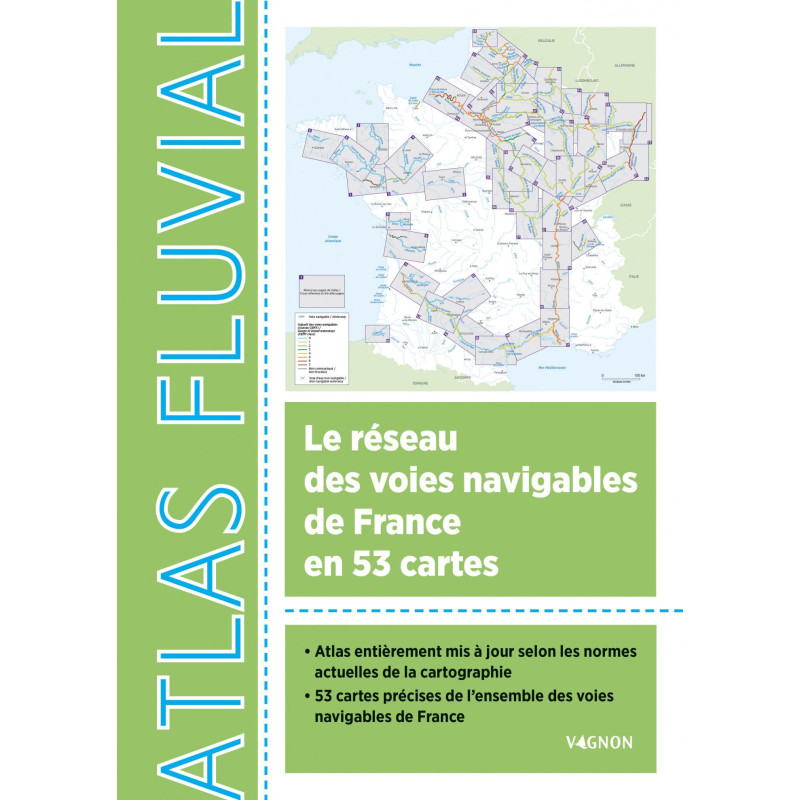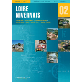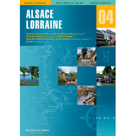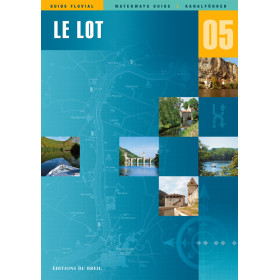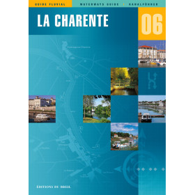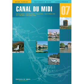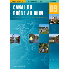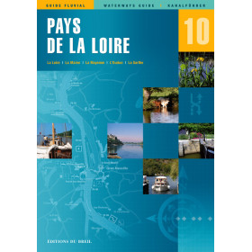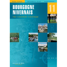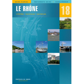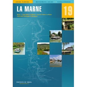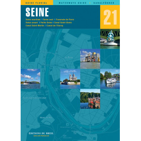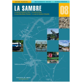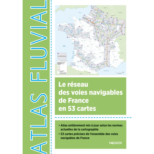




Plan your fluvial adventures in France with this complete atlas. 53 up-to-date maps detail waterways, locks, tunnels, and mooring spots, with all legends in English for effortless navigation.
Data sheet
Specific References
Explore France’s vast network of rivers, canals, and waterways with confidence using this comprehensive Inland Waterways Atlas. Designed for boaters, sailors, and adventurers, this atlas provides 53 detailed and up-to-date maps covering every navigable route in France. Whether you're planning a leisurely cruise or a long-distance journey, this guide ensures you have all the critical information at your fingertips, from lock locations to clearance heights and water depths.
Unlike generic maps or digital tools, this atlas combines precision, usability, and cultural insights to enhance your journey. Whether you're a seasoned sailor or a weekend explorer, it’s the perfect blend of technical detail and practical guidance, ensuring you make the most of France’s stunning inland waterways.
Navigate France’s Inland Waterways with Unmatched Precision
Planning a boating adventure through France’s rivers and canals? The Inland Waterways Atlas of France is your ultimate guide, offering 53 meticulously updated maps that cover every navigable route in the country. Designed for both seasoned sailors and casual boaters, this atlas provides all the critical data you need—from lock locations and clearance heights to water depths and mooring spots—ensuring a smooth and safe journey. Whether you're charting a short trip or a cross-country voyage, this guide is an indispensable tool for navigating with confidence.
Engineered for Clarity and Ease of Use
This atlas isn’t just a collection of maps—it’s a comprehensive navigation system built for practicality. Each of the 53 maps adheres to the latest cartographic standards, ensuring accuracy and reliability. A summary map at the beginning of the atlas helps you quickly locate specific waterways, while a page-reference system allows for seamless transitions between sections. All legends and key details are translated into English, making it accessible for international users. The A4 format (21 x 29.7 cm) strikes the perfect balance between portability and readability, fitting easily in your cockpit or navigation station.
Detailed Data for Every Mile of Your Journey
No detail is overlooked in this atlas. For each waterway, you’ll find essential information such as lock locations, tunnels, turning basins, and mooring spots, as well as non-navigable or decommissioned sections to avoid unnecessary detours. The atlas clearly marks VNF (Voies Navigables de France) sector limits and provides critical metrics for each route, including waterway length, air draft, water draft, and maximum vessel dimensions (length and width). This level of detail ensures you can plan your route with precision, whether you're navigating a narrow canal or a wide river.
More Than Just a Navigation Tool
Beyond its technical prowess, this atlas enriches your journey with cultural and historical insights. Discover suggested excursions and visits in towns and cities along the waterways, perfect for breaking up your trip with memorable stops. The atlas also highlights remarkable structures, such as historic bridges, aqueducts, and engineering marvels, adding depth to your exploration. A general map of France is included as a fold-out cover, providing a quick reference for planning your overall route.
Built to Withstand the Rigors of Life on the Water
Durability is key when it comes to navigation tools, and this atlas delivers. Printed on 96 pages of high-quality paper, it’s designed to withstand frequent use in all conditions, whether you're on deck or in the cabin. Weighing just 0.5 kg, it’s lightweight enough to carry with you wherever you go, without compromising on detail or readability. Whether you're a professional sailor or a weekend adventurer, this atlas is built to be your trusted companion on the water.
This Inland Waterways Atlas of France is a 96-page paperback guide published in September 2022, featuring 53 detailed maps of France’s navigable waterways. Measuring 21 x 29.7 cm (A4 format) and weighing just 0.5 kg, it includes a fold-out general map of France, English translations of all legends, and comprehensive data on locks, tunnels, mooring spots, and waterway dimensions. Ideal for both professional and recreational boaters, it combines precision cartography with practical navigation tools.
With decades of expertise in maritime and navigation publishing, this publisher is a trusted name among boaters, sailors, and outdoor enthusiasts. Specializing in high-quality guides, atlases, and technical manuals, their publications are renowned for their accuracy, durability, and practicality. Whether for professional use or leisure, their resources are designed to enhance safety, efficiency, and enjoyment on the water.
The atlas provides detailed cartography of France's navigable waterways, but the exact scale of each map is not specified. They are designed to be precise and clear for navigation purposes.
Yes, the maps include all essential information such as locks, tunnels, mooring spots, and navigable waterway dimensions, making them suitable for both recreational and professional use.
Yes, it details waterway dimensions including air draft, draft, and authorized vessel length and width for each sector.
Yes, the atlas includes suggestions for outings and visits in cities along the waterways, as well as presentations of remarkable structures on the French waterway network.
Yes, all 53 maps are fully updated according to current cartography standards.
All legends in the atlas are translated into English.
It includes a summary map for quick reference and a practical page cross-referencing system to help users navigate the book efficiently.
You might also like