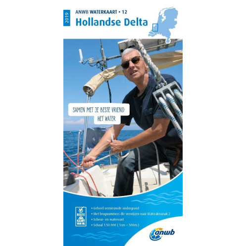
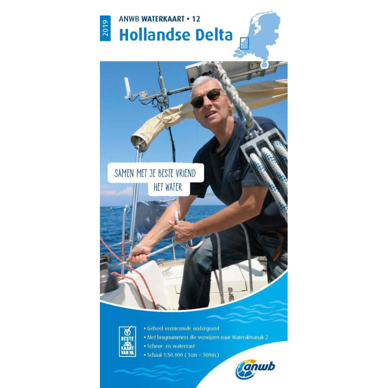
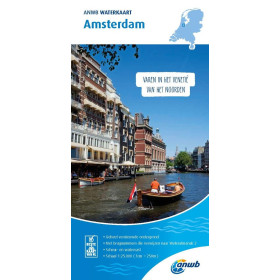
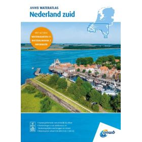
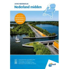
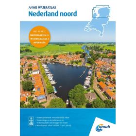
This ANWB paper River chart (Folded chart) covers North Sea, the area Hollandse Delta.
Book in Dutch language
Introduction: cartography designed for Europe’s most complex inland networks
Inland waterway charts from ANWB primarily cover the Netherlands, along with connected regions in Northern Europe (Belgium, Germany). These areas form one of the densest and most technically demanding inland navigation networks in the world.
With narrow canals, engineered rivers, busy inland ports, and a high concentration of infrastructure (movable bridges, locks, junctions), navigation here requires precision and anticipation.
Whether you are cruising through the Dutch canals, transiting toward the North Sea, or exploring inland waterways by pleasure craft, choosing the right chart is essential. It ensures not only safety, but also smooth and efficient navigation in a highly structured and regulated environment.
What is an ANWB inland chart used for?
An ANWB chart is a practical navigation tool designed to handle the constraints of dense and highly trafficked inland networks.
Practical uses
- Canal and river navigation: precise tracking of routes
- Movable bridge management: identifying opening times and clearances
- Lock passages: planning and sequencing transits
- Urban navigation: operating in busy areas (Amsterdam, Rotterdam)
- Route planning: connecting waterways efficiently
Real-life situations
- Anticipating the opening schedule of a bridge
- Avoiding routes with insufficient clearance
- Planning a full day based on lock passages
- Finding a suitable mooring in an inland harbor
Value compared to digital tools
While apps are useful:
- They often fragment information
- They rarely provide a full overview
ANWB charts give a global vision of the network, essential for anticipating sequences and avoiding bottlenecks.
Who are these charts for?
ANWB charts are especially suited to recreational inland navigation in Northern Europe.
Beginner
- Clear and structured layout
- Ideal for discovering Dutch waterways
- Helps understand local constraints
Experienced navigator
- Precise tool for optimizing routes
- Essential in technically demanding areas
Professional / delivery crews
- Helps secure navigation
- Supports logistical planning
Navigation conditions
- Day navigation: managing infrastructure visually
- Slow cruising: typical of inland waterways
- Regular navigation: requires up-to-date charts
- Occasional navigation: simplifies route planning
These charts help users confidently plan and execute their journeys.
Reading and understanding the chart
A scale adapted to dense networks
ANWB charts are designed to provide:
- Smooth readability of the network
- Quick identification of infrastructure
- Clear perception of distances
The goal is clarity in a complex environment.
Key information displayed
- Detailed waterway network
- Bridges (fixed and movable, clearances, schedules)
- Locks (location and characteristics)
- Ports, marinas, and moorings
- Distances and recommended routes
- Restricted or regulated areas
What the navigator must understand
- Air draft limitations (bridge clearance)
- Time constraints (bridges, locks)
- High-traffic zones
- Inland navigation symbols specific to Northern Europe
Proper interpretation prevents delays and navigation issues.
Reliability, updates, and safety
A trusted reference in the Netherlands
ANWB charts are based on:
- Accurate local data
- Strong knowledge of inland networks
- Regular updates
Importance of updates
In these regions:
- Bridge schedules may change
- Infrastructure evolves frequently
- Local regulations are updated
An outdated chart can quickly become limiting or unsafe.
Best practices
- Always check the edition date
- Consult local notices and harbor authorities
- Adapt navigation in real time
Safety depends on up-to-date and reliable information.
Paper charts vs digital tools in inland navigation
Advantages of paper charts
- Full overview of the network
- Better understanding of route sequences
- Reliable without technology
Limits of digital-only navigation
- Difficult to visualize entire routes
- Dependence on connectivity and updates
- Risk of incomplete information
A complementary approach
Best practice:
- Use paper charts for planning
- Use digital tools for real-time navigation
FAQ – Frequently asked questions about ANWB charts
Which ANWB chart should I choose?
It depends on your navigation area:
- Netherlands → regional charts
- Cross-border routes → combine multiple charts
Make sure your entire route is covered.
Is one ANWB chart sufficient?
No.
- It should be complemented with local information
- Conditions can change quickly
How often should these charts be updated?
- Every 2 to 3 years
- Or when a new edition becomes available
Infrastructure changes frequently.
Can these charts be used with GPS?
Yes.
- They allow position tracking
- They complement electronic navigation tools
What is the difference compared to French inland charts?
- ANWB charts are designed for dense Northern European networks
- They strongly integrate bridge constraints and traffic conditions
They are essential for navigating in the Netherlands.
Are they suitable for recreational boating?
Yes, absolutely.
- Ideal for inland cruising
- Widely used by pleasure boaters
They support smooth and safe navigation.
Conclusion
ANWB inland waterway charts are specifically designed to meet the demands of Europe’s most complex inland navigation networks. They provide clear information, essential data, and valuable support for decision-making in highly structured environments.
Choosing ANWB charts through Nautic Way means benefiting from a carefully curated selection and practical expertise tailored to real navigation needs.
On dense inland waterways like those of the Netherlands, a good chart does more than guide—it simplifies every decision.
Scale: 1:50000
ISBN: 9789018044824
Manufacturer: ANWB
Publisher: ANWB
Author: ANWB
Edition: 2019
Format: Folded