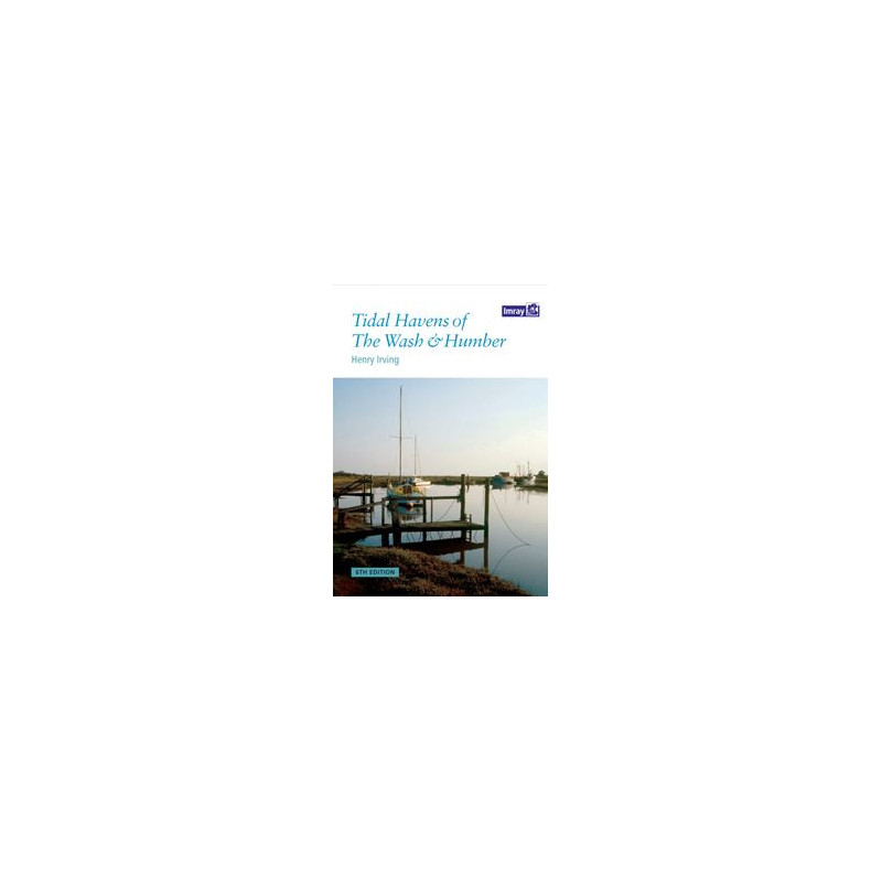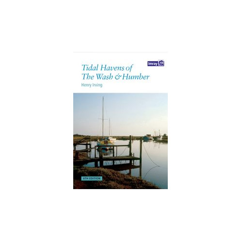


Imray - Tidal Havens of the Wash and Humber
search
  • googlemap
  • Imray - Tidal Havens of the Wash and Humber
  • Imray - Tidal Havens of the Wash and Humber

Imray - Tidal Havens of the Wash and Humber

€20.35
Tax included
Imray
In English language
Estimated preparation time: 5 to 14 days

Navigate the tidal havens and hidden creeks of the Wash and Humber with this essential full-color guide. Packed with detailed charts and expert insights for safe and scenic coastal exploration.

PIL0570

Data sheet

What is the classification?
navigation book
Who is the publisher or the author?
Henry Irving
On what digital medium is this nautical chart / book stored?
paper medium
From which year does this nautical chart date?
2011
What type of navigation book is this?
pilot
Picto
In English language

Specific References

UPC
400000063850
EAN13
9781846232794
New
Description détaillée

Tidal Havens of the Wash and Humber

Publication in English
Paperback edition

Your Essential Companion for Navigating the North Sea’s Hidden Gems

Explore the intricate network of tidal havens, drying harbors, and secluded creeks along the flat coastlines of Norfolk, Lincolnshire, and the Humber with this trusted nautical guide. Designed for boaters seeking safe anchorage and local insights, this publication delivers unparalleled detail on one of the UK’s most dynamic tidal regions. Whether you’re planning a coastal cruise or a weekend adventure, this guide ensures you navigate with confidence, avoiding shallow waters and unpredictable currents while discovering the area’s most sheltered spots.

Comprehensive Coverage of Tidal Waters

This guide zeroes in on the unique challenges and opportunities of the Wash and Humber estuaries, where tides dictate navigation and traditional charts often fall short. It provides precise coordinates, depth soundings, and tidal stream data for over 50 havens, including lesser-known inlets like Brancaster, Wells-next-the-Sea, and Tetney Haven. Each entry includes practical advice on entry and exit strategies, anchoring techniques, and local hazards—such as shifting sandbanks and strong cross-currents—so you can plan your passage with accuracy.

Tailored for Boaters, by Boaters

Written by a seasoned mariner with decades of experience in these waters, this guide goes beyond basic charting. It offers firsthand knowledge of local facilities, from fuel docks and slipways to nearby provisions and repair services. The inclusion of high-resolution color maps and aerial photographs allows you to visualize each haven’s layout, while tide tables and tidal curves help you time your arrival for optimal conditions. Whether you’re a solo sailor or part of a flotilla, this resource is built to enhance safety and convenience.

Up-to-Date and User-Friendly

Now in its sixth edition, this guide reflects the latest hydrographic surveys and local developments, ensuring you have the most current information at your fingertips. The A4 paperback format is durable and easy to handle on deck, with water-resistant pages designed to withstand the marine environment. Its logical organization—grouped by region and indexed for quick reference—makes it simple to find the details you need, even in challenging conditions.

Why This Guide Stands Out

Unlike generic pilot books, this publication focuses exclusively on the Wash and Humber, offering depth and specificity that broader guides can’t match. It’s the only resource that combines detailed cartography with practical, on-the-water advice for these tidal waters. For boaters who prioritize safety, efficiency, and local knowledge, this guide is an indispensable tool for unlocking the full potential of this fascinating stretch of coastline.

Navigate the Wash and Humber with Precision and Confidence
Discover why this guide is the go-to resource for boaters tackling the UK’s most challenging tidal waters. The *Tidal Havens of the Wash and Humber* isn’t just a book—it’s a lifeline for sailors, motorboaters, and adventurers who refuse to let shifting tides and hidden sandbanks dictate their journey. With 76 pages of meticulously researched content, this sixth edition (2011) is packed with full-color maps, aerial photographs, and tide tables that transform complex navigation into a straightforward, stress-free experience.

Built for the Demands of Tidal Navigation
This guide is engineered for the unique challenges of the Wash and Humber, where tides can rise and fall by over 7 meters, and currents reach speeds of 3 knots or more. It covers 50+ tidal havens, drying harbors, and creeks, each accompanied by precise coordinates (latitudes: 53.2600577 to 53.8161262; longitudes: -0.9201205 to 1.2779755), depth soundings, and tidal stream data. Whether you’re seeking shelter from a sudden storm or planning an overnight anchorage, you’ll find the information you need to make informed decisions—without relying on guesswork or outdated charts.

Designed for Real-World Use
Weighing just 1.2 kg and measuring A4 in size, this paperback guide is built to withstand the rigors of life on deck. Its water-resistant pages and durable binding ensure it stays intact, even in wet or windy conditions. The guide’s layout is intentionally user-friendly, with clear headings, color-coded sections, and an intuitive index that lets you find critical information in seconds. No more flipping through pages mid-passage—this guide is designed to keep you focused on what matters most: safe and efficient navigation.

More Than Just a Guide—It’s Your Local Expert
Written by Henry Irving, a mariner with deep ties to these waters, this guide offers insights you won’t find in any other publication. From the best times to enter a drying harbor to the location of hidden fuel docks and repair services, it’s packed with practical tips that only come from years of firsthand experience. The inclusion of aerial photographs provides a bird’s-eye view of each haven, helping you visualize your approach and avoid potential hazards like unmarked shoals or strong cross-currents.

This sixth edition (2011) of the *Tidal Havens of the Wash and Humber* is a comprehensive paperback guide, featuring 76 pages of full-color maps, aerial photographs, and tide tables. Measuring A4 and weighing 1.2 kg, it’s designed for durability and ease of use on deck. The guide covers latitudes from 53.2600577 to 53.8161262 and longitudes from -0.9201205 to 1.2779755, providing precise coordinates and tidal data for over 50 havens, drying harbors, and creeks in the region.

For over two centuries, this publisher has been a trusted name in nautical navigation, renowned for producing high-quality charts, guides, and pilot books. Their publications are crafted by mariners, for mariners, blending rigorous hydrographic data with practical, on-the-water insights. With a focus on accuracy, durability, and usability, their guides are relied upon by boaters worldwide to navigate some of the most challenging waters safely and confidently.

  • Unlock the secrets of the Wash and Humber with a guide that combines expert local knowledge, precise cartography, and practical advice tailored for tidal navigation. This publication eliminates the guesswork from coastal cruising, offering detailed tide tables, aerial photographs, and up-to-date hydrographic data to help you plan safe passages and find sheltered anchorage. Its durable, water-resistant design ensures it stands up to the marine environment, while its user-friendly layout makes it easy to access critical information quickly. Whether you’re a seasoned sailor or a weekend boater, this guide is your key to navigating these dynamic waters with confidence and ease.
What areas are covered in detail in this guide?

The guide covers the flat coasts of Norfolk, Lincolnshire, and the Humber, including tidal havens, drying harbors, and creeks.

Is this guide suitable for first-time visitors to the region?

Yes, it provides detailed information on tidal havens and navigational features, making it ideal for both first-time and returning visitors.

Are the charts and illustrations in color?

Yes, the guide features full-color illustrations and charts throughout.

What is the page count of this edition?

This edition contains 76 pages of detailed navigational information and charts.

What are the dimensions of the guide?

The guide is in A4 format, making it easy to handle and store on board.

How much does the guide weigh?

The guide weighs approximately 1.2 kg, ensuring durability without being cumbersome.

Who is the author of this navigational guide?

The guide is authored by Henry Irving, a well-established expert in nautical navigation for this region.

Loading...