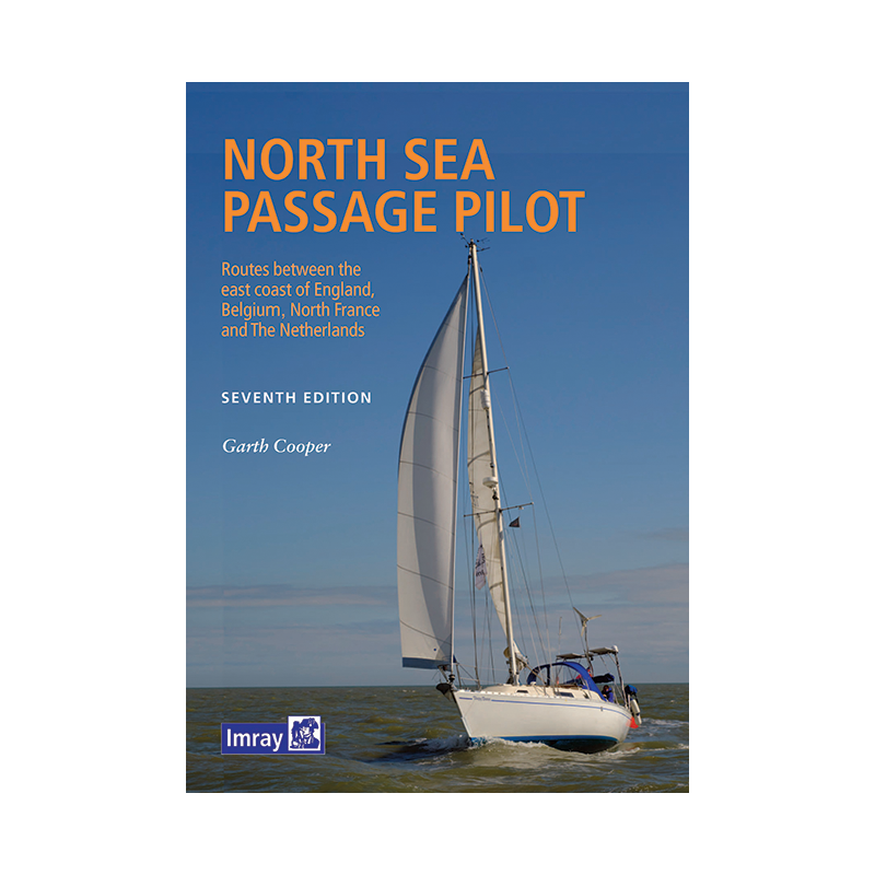




Plan your North Sea voyage with this comprehensive 2022 pilot guide. Detailed coverage of routes, traffic separation zones, offshore wind farms, and port entries ensures smooth and safe sailing.
Data sheet
Specific References
Navigate the North Sea with Confidence
The *North Sea Passage Pilot* is your go-to guide for mastering one of Europe’s most trafficked and demanding maritime regions. Covering the critical stretch from Great Yarmouth to Dover and the corresponding continental coasts from Den Helder to Calais, this guide is packed with the latest navigational data to ensure safe, efficient, and well-informed crossings. Whether you're plotting a direct route or exploring coastal stops, this resource is designed to meet the unique challenges of the North Sea, from shifting traffic patterns to offshore infrastructure.
Stay Ahead of Maritime Changes
The North Sea is constantly evolving, with new wind farms, oil platforms, and traffic separation schemes reshaping its waters. This guide provides up-to-date details on these developments, helping you navigate with precision. It includes comprehensive coverage of key ports, tidal streams, and weather considerations, ensuring you’re prepared for every scenario. With full-color printing and clear, detailed plans, it’s an indispensable tool for both seasoned sailors and those new to the region.
Built for Practical, On-the-Water Use
Unlike generic charts, this guide is tailored specifically for recreational sailors, offering practical advice for passage planning, port entries, and coastal navigation. The A4 paperback format is durable and easy to handle, making it ideal for use on deck. Updated photographs and diagrams highlight critical landmarks, buoys, and navigational aids, ensuring you can quickly identify key points along your route. Whether you're crossing from the UK to the continent or exploring the adjacent coastlines, this guide is your trusted companion.
The *North Sea Passage Pilot* is a paperback guide in A4 format (210 x 297 mm), weighing 2 kg. This seventh edition, published in 2022, features full-color printing and is written in English. It covers latitudes from 50.86°N to 52.97°N and longitudes from 0.43°E to 4.75°E, providing comprehensive coverage of the North Sea region.
With decades of experience in maritime publishing, this brand is a trusted name among sailors worldwide. Known for producing high-quality, reliable guides, their publications are meticulously researched and regularly updated to reflect the latest navigational data. Their guides are designed to be both practical and accessible, making them a favorite among recreational and professional mariners alike.
The guide covers passages across the North Sea, including routes from Great Yarmouth to Dover on the UK’s east coast and corresponding coastlines from Den Helder to Calais on the continent. It also details offshore wind farms, oil and gas platforms, and major ports.
Yes, the guide provides detailed information on traffic separation schemes (TSS) to help navigate busy shipping lanes safely.
The guide features a softcover binding, making it durable yet lightweight for onboard use.
Yes, the guide is printed in full color, enhancing readability and visual clarity for charts and photographs.
The shipping weight of the guide is 980 grams, while the product itself weighs 2 kilograms.
Yes, it includes updated plans and numerous photographs to highlight key navigational features for ports and harbors.
The guide is written entirely in English, ensuring accessibility for international sailors.
You might also like