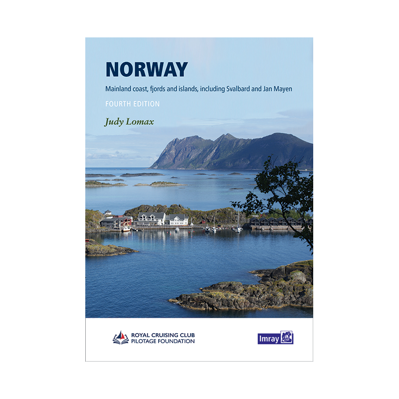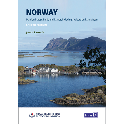




Navigate Norway’s stunning fjords and Arctic waters with this trusted nautical guide. Packed with 1,000+ ports, updated charts, and expert insights, it’s essential for safe and unforgettable voyages.
Data sheet
Specific References
Navigate Norway’s Coastal Wonders with Unmatched Precision
This comprehensive nautical guide is your ultimate resource for exploring Norway’s coastline, from the southern Skagerrak to the Arctic reaches of Svalbard and Jan Mayen. Designed for recreational boaters, it combines expert local knowledge with practical navigation advice, covering over 1,000 ports, anchorages, and shelters across fjords, islands, and mainland harbors. Whether you’re planning a leisurely cruise or an adventurous voyage, this guide ensures you have the most accurate and up-to-date information at your fingertips.
Expert Insights from a Trusted Source
Authored by Judy Lomax, a seasoned sailor with over 30 years of experience navigating Norway’s waters, this guide reflects decades of firsthand exploration and a deep network of local contacts. The 4th edition builds on this expertise with expanded coverage of key areas like the Oslo Fjord and the Telemark Canal, along with revised Imray charts and new photographs. These updates ensure you’re equipped with the latest details on navigation, facilities, and local conditions, making your journey smoother and safer.
Durable and Detailed for Onboard Use
With 301 pages of meticulously organized content, this hardcover guide is built to withstand the demands of life at sea. Its A4 format provides ample space for clear, detailed charts and annotations, while the sturdy construction ensures it remains a reliable companion trip after trip. Color photographs and precise maps enhance your understanding of each location, from bustling harbors to secluded anchorages, giving you the confidence to explore Norway’s stunning waters with ease.
This nautical guide delivers comprehensive coverage of Norway’s coastline, including over 1,000 detailed descriptions of ports, anchorages, and shelters. The 4th edition, published in 2022, spans 301 pages in a durable hardcover A4 format, featuring color photographs and revised Imray charts throughout. Weighing 1.2 kg, it’s designed for practical onboard use, offering expert navigation advice for recreational boaters.
With a legacy of providing high-quality nautical resources, this publisher is renowned for its detailed and reliable guides tailored to recreational boaters. Their publications combine expert local knowledge with practical navigation tools, ensuring sailors have the most accurate and up-to-date information for safe and enjoyable voyages.
The guide covers latitudes from approximately 57.2°N to 81.1°N and longitudes from about 12.9°E to 36.9°E, including the Norwegian coast, Svalbard, and Jan Mayen.
The guide provides detailed descriptions of over 1,000 ports, anchorages, and shelters along the Norwegian coast and its islands.
Yes, it is designed to be a reliable companion for both private boats and cruise ships navigating the Norwegian coastline and its fjords.
The 4th edition includes expanded details on areas like the Oslo Fjord and Telemark Canal, revised Imray charts, and new photographs.
The guide is in A4 format, hardcover, and contains 301 pages with color illustrations and photographs throughout.
The guide was published in 2022, ensuring up-to-date information based on over 30 years of exploration and local contacts.
Yes, it features color photographs, revised Imray plans, and detailed charts to assist with navigation and planning.
You might also like