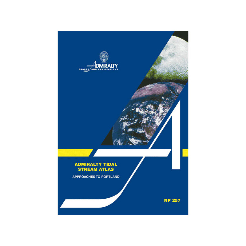




The Tidal Stream Atlas for Portland provides precise tidal current charts, detailing direction and speed hourly. Ideal for safe and accurate navigation in this key European waters.
Data sheet
Specific References
Master the Tides Around Portland with This Essential Navigation Tool
Navigating the waters near Portland demands precision, and this tidal stream atlas delivers the critical data needed to chart a safe and efficient course. Designed for professional mariners, it provides hourly tidal current directions and velocities, ensuring optimal route planning in one of the UK’s most trafficked coastal zones. Whether you're piloting a commercial vessel, managing a fishing fleet, or overseeing maritime operations, this atlas is your go-to resource for tidal intelligence.
Engineered for Accuracy and Reliability
This atlas features detailed diagrams that map tidal streams at hourly intervals, with graduated arrows indicating mean, neap, and spring tidal rates in tenths of a knot. A supplementary chart allows for precise calculations of tidal flow on specific dates, empowering navigators to make informed decisions in real time. The 1973 edition, reprinted in 2003, incorporates the latest hydrographic data, ensuring the information remains accurate and relevant for today’s maritime professionals.
Built for the Demands of Professional Navigation
Weighing 1.9 kg, this paperback atlas is designed to withstand the rigors of daily use in maritime environments. Its durable format ensures reliability, even in harsh conditions where electronic systems may fail. The clear, easy-to-interpret diagrams are tailored for quick reference, allowing navigators to adjust their routes dynamically and maintain efficiency. This tool is indispensable for pilots, shipmasters, and maritime operators who prioritize safety and precision in their operations.
This tidal stream atlas provides comprehensive tidal current data for the Portland approaches, featuring hourly diagrams of tidal stream directions and velocities. The atlas includes graduated arrows representing mean, neap, and spring tidal rates in tenths of a knot, along with a supplementary chart for calculating tidal flow on specific dates. Published in 1973 and reprinted in 2003, it weighs 1.9 kg and is available in a durable paperback format, ensuring reliability for professional maritime use.
With a legacy of excellence in hydrographic data, this publisher is a globally recognized authority in maritime navigation. Their publications are trusted by professional mariners, commercial fleets, and maritime organizations worldwide, setting the standard for accuracy, reliability, and safety in tidal and navigational resources.
This atlas provides detailed tidal stream information for the approaches to Portland, including direction and speed of tidal currents.
Tidal currents are shown using graduated arrows that indicate average, neap, and spring tidal rates in tenths of a knot for each hour.
Yes, the atlas includes an additional diagram that allows you to calculate tidal stream flow for any given date.
The paper version weighs approximately 1.9 kilograms.
No, this edition is only available in English.
The atlas is based on the 1973 edition with reprints, such as the 2003 reprint, but the tidal data itself is not updated in reprints.
You might also like