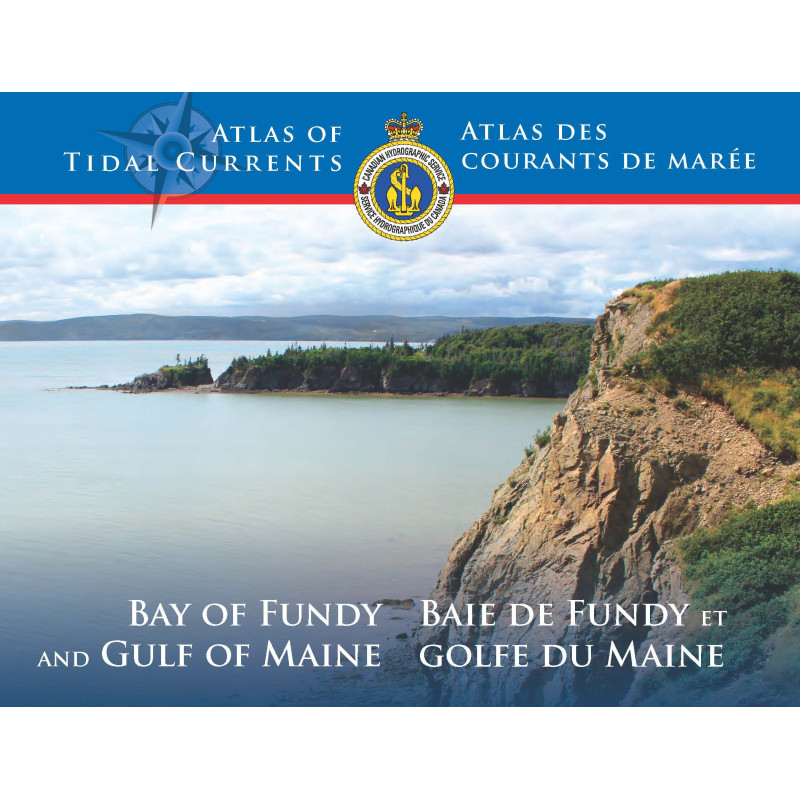




Essential for mariners, this tidal currents atlas provides 36 hourly maps of surface currents in the Bay of Fundy and Gulf of Maine. Accurate, bilingual, and designed for reliable coastal navigation.
Data sheet
Specific References
Master the Tides with the Definitive Tidal Current Atlas for the Bay of Fundy and Gulf of Maine
When seconds count and currents shift in an instant, this tidal current atlas becomes your most trusted ally. Covering the Bay of Fundy—where tides reach a staggering 16 meters—and the broader Gulf of Maine, this 36-chart atlas provides hourly snapshots of surface current speed and direction, transforming raw tidal data into clear, actionable intelligence for maritime professionals.
Engineered for Real-World Navigation Challenges
Developed by leading hydrodynamic experts, this atlas leverages a refined mathematical model to deliver unparalleled accuracy. Each chart visualizes the semi-diurnal lunar tide regime with precision, using directional arrows to indicate flow patterns and velocity. Whether navigating congested shipping lanes, avoiding hazardous eddies, or optimizing fuel efficiency, this tool ensures you stay ahead of the tide—literally.
Built for the Demands of Commercial Maritime Operations
Designed with input from ship captains, marine pilots, and offshore operators, this atlas is more than a reference—it’s a mission-critical resource. Its bilingual format (English/French) accommodates international crews, while its durable print edition withstands the harshest onboard conditions. At just 2 kg and with dimensions of 11.00 x 8.75 x 1.00 inches, it’s compact enough for the wheelhouse yet comprehensive enough to cover the entire region, from the Bay of Fundy to Georges Bank.
Compliance You Can Trust
As an official publication for Canadian coastal navigation, this atlas meets the highest standards of accuracy and reliability. It must be used alongside the annual *Canadian Tide and Current Tables (Volume 1)* to ensure full compliance with maritime regulations. Whether you’re piloting a container ship, a fishing vessel, or an offshore supply boat, this atlas provides the data you need to navigate safely and efficiently in one of the world’s most dynamic tidal zones.
This tidal current atlas includes 36 detailed charts covering the Bay of Fundy, Gulf of Maine, and Georges Bank, with hourly visualizations of surface current speed and direction. The bilingual (English/French) publication spans 36 pages, weighs 2 kg, and measures 11.00 x 8.75 x 1.00 inches. Based on a refined hydrodynamic model, it provides precise data for the semi-diurnal lunar tide regime and is designed for use with the annual *Canadian Tide and Current Tables (Volume 1)*.
With a legacy of over a century in hydrographic science, this organization is Canada’s authority on marine navigation data. Specializing in tidal modeling, current analysis, and official nautical publications, it provides the maritime industry with the tools needed to navigate safely and efficiently in some of the world’s most complex waterways.
The charts cover the Bay of Fundy, Gulf of Maine, and Georges Bank, providing hourly overviews of surface tidal currents.
Arrows indicate both the direction and speed of tidal currents, with varying arrow lengths and styles for clarity.
Yes, it is an official publication for Canadian coastal navigation and should be used alongside the annual Tide and Current Tables (Volume 1).
The electronic document has a file size of 5.11 MB.
No, the scales vary depending on the specific area and level of detail required for each chart.
It references a lunar semidiurnal tidal regime, which is characteristic of the covered region.
No, it is specifically designed for the Bay of Fundy, Gulf of Maine, and Georges Bank and may not be accurate for other regions.
You might also like