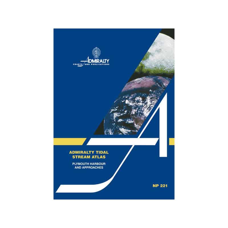


Admiralty - NP221 - Tidal Stream Atlas Plymouth Harbour and Approaches
search
  • googlemap
  • Admiralty - NP221 - Tidal Stream Atlas Plymouth Harbour and Approaches

Admiralty - NP221 - Tidal Stream Atlas Plymouth Harbour and Approaches

€44.05
Tax included
Admiralty - United Kingdom Hydrographic Office
In English language
Estimated preparation time: 5 to 14 days

Essential for sailors, this tidal stream atlas covers Plymouth Harbour and approaches. Hourly tidal flow diagrams provide direction and speed, including neap and spring rates for reliable navigation.

NP221

Data sheet

Who is the publisher or the author?
Admiralty
On what digital medium is this nautical chart / book stored?
paper medium
What type of navigation book is this?
tidal currents
What is the size?
paper medium
Picto
In English language

Specific References

UPC
400000062846
EAN13
4000000107903
New
Description détaillée

Tidal Stream Atlas Plymouth Harbor and Approaches

Publication in English
Paperback edition

Precision Navigation for Professional Mariners

Master the dynamic tidal currents of Plymouth Harbor and its approaches with this essential tidal stream atlas. Designed for commercial mariners, naval officers, and professional navigators, this publication delivers unparalleled accuracy in predicting tidal flows. Every page provides critical data to optimize vessel routing, reduce fuel consumption, and enhance operational safety in one of the UK’s busiest maritime zones.

Hourly Tidal Stream Data at Your Fingertips

  • Detailed diagrams showing tidal stream direction and velocity for every hour of the tidal cycle
  • Clear, graduated arrows representing mean neap and spring tidal rates in tenths of a knot
  • Comprehensive coverage of Plymouth Harbor and surrounding approaches, ensuring full situational awareness
  • Additional calculation diagram to determine tidal stream rates for any given date

Engineered for Maritime Professionals

This atlas is not just a reference—it’s a tactical tool for safe and efficient navigation. Whether maneuvering through congested harbor approaches, planning long-haul voyages, or conducting precise docking operations, the data within these pages allows mariners to anticipate tidal influences with confidence. The paperback format ensures durability and ease of use on the bridge, even in challenging conditions.

Trusted by the Global Maritime Industry

Adopted by shipping companies, naval fleets, and maritime training institutions worldwide, this tidal stream atlas is part of a legacy of navigational excellence. It meets the rigorous demands of professional mariners who require reliable, up-to-date hydrographic data to navigate safely and efficiently. With its focus on accuracy and usability, this publication is an indispensable resource for anyone operating in the waters of Plymouth and its approaches.

Optimized for Operational Efficiency

  • Reduce transit times by leveraging real-time tidal data to plan optimal routes
  • Enhance fuel efficiency by aligning vessel movements with favorable tidal streams
  • Improve safety by avoiding unexpected strong currents in critical navigation zones
  • Simplify voyage planning with easy-to-interpret visual data

Built to Withstand the Demands of the Sea

Printed on high-quality, durable paper, this atlas is designed to endure the rigors of daily use on board. Its compact, lightweight format makes it easy to store and access, ensuring it’s always within reach when you need it most. Whether you’re navigating commercial vessels, conducting hydrographic surveys, or training the next generation of mariners, this publication delivers the precision and reliability you demand.

Navigate Plymouth Harbor with Unmatched Precision
This Tidal Stream Atlas for Plymouth Harbor and Approaches is an indispensable tool for mariners operating in one of the UK’s most critical maritime zones. Providing hourly tidal stream data, this atlas allows professionals to anticipate tidal currents with accuracy, ensuring safer and more efficient navigation. Whether you're piloting commercial vessels, conducting hydrographic surveys, or planning complex docking maneuvers, this publication delivers the reliable data needed to make informed decisions on the water.

Comprehensive Tidal Data for Every Hour of the Tidal Cycle
Featuring detailed diagrams, this atlas illustrates tidal stream direction and velocity for every hour of the tidal cycle. The graduated arrows represent mean neap and spring tidal rates in tenths of a knot, offering a clear visual representation of tidal flow patterns. This level of detail is essential for mariners who need to account for tidal influences when navigating through congested or challenging waters.

Designed for Professional Use in Demanding Conditions
Engineered to meet the needs of maritime professionals, this atlas is built to withstand the demands of daily use on the bridge. Its durable paperback format ensures longevity, while its compact size makes it easy to store and access. The inclusion of a calculation diagram allows mariners to determine tidal stream rates for any given date, adding an extra layer of precision to voyage planning and execution.

Optimize Operations with Reliable Hydrographic Data
By leveraging the data in this atlas, mariners can optimize vessel routing, reduce fuel consumption, and enhance operational safety. The ability to predict tidal currents accurately is particularly valuable in areas like Plymouth Harbor, where strong tidal flows can significantly impact navigation. This publication is a trusted resource for those who require the highest standards of accuracy and reliability in their navigational tools.

This Tidal Stream Atlas provides detailed tidal stream data for Plymouth Harbor and its approaches, featuring hourly direction and velocity diagrams. The publication includes mean neap and spring tidal rates in tenths of a knot, a calculation diagram for determining tidal stream rates by date, and is presented in a durable paperback format. Weighing 1.9 kg, this English-language atlas is designed for professional use in maritime navigation.

The publisher behind this tidal stream atlas is a globally recognized authority in hydrographic data and maritime navigation. With a legacy of providing accurate, reliable, and up-to-date navigational resources, their publications are trusted by commercial mariners, naval fleets, and maritime training institutions worldwide. Their commitment to precision and quality ensures that every product meets the rigorous demands of professional navigation.

  • This Tidal Stream Atlas offers unparalleled accuracy in predicting tidal currents, enabling mariners to optimize vessel routing and enhance operational safety. Its detailed hourly data, durable paperback format, and professional-grade reliability make it an essential tool for navigating Plymouth Harbor and its approaches with confidence.

What scale is used to measure tidal stream rates in this atlas?

Tidal stream rates are measured in tenths of a knot, covering mean, neap, and spring tides for precise navigation calculations.

How often are tidal stream directions and speeds updated in the diagrams?

The diagrams provide tidal stream directions and speeds for every hour, allowing detailed planning for each stage of a voyage.

Can this atlas be used to calculate tidal streams for specific dates?

Yes, it includes an additional diagram that enables users to calculate tidal stream rates for any given date within the covered area.

What is the weight of the atlas and how does it affect portability?

The atlas weighs 1.9 kg, making it suitable for onboard use while ensuring durability and ease of handling during navigation.

Is this atlas suitable for both professional and recreational navigators?

Yes, its detailed tidal stream data and clear diagrams make it valuable for both professional mariners and recreational sailors navigating the covered area.

Does the atlas cover tidal streams beyond Plymouth Harbour?

Yes, it includes tidal stream data for Plymouth Harbour and its approaches, providing comprehensive coverage for the surrounding waters.

How does the paper version compare to digital alternatives for tidal data?

The paper version offers reliable, offline access to tidal stream data, ensuring usability in areas with limited or no digital connectivity.

Loading...