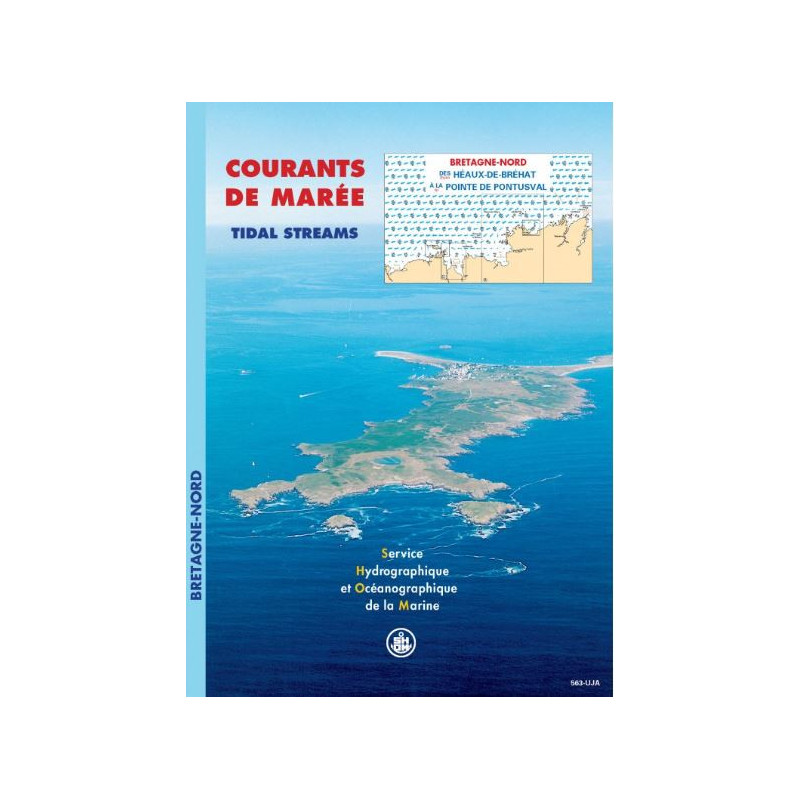




This tidal atlas covers Northern Brittany’s coast, detailing hourly currents for spring and neap tides. Perfect for safer navigation, fishing, and diving in key zones like Morlaix Bay.
Data sheet
Specific References
Navigate Northern Brittany's challenging waters with confidence
This professional-grade tidal current atlas delivers unparalleled precision for the Northern Coast of Brittany, covering the critical stretch from Les Héaux-de-Bréhat to Pointe de Pontusval. Published in 1999, this field-tested resource provides hourly surface current data for both spring and neap tides, giving maritime professionals the hydrodynamic intelligence needed to navigate safely and efficiently through one of France's most complex tidal zones.
Engineered for operational excellence
The atlas features 13 detailed current charts per sector, offering granular visualization of tidal patterns in high-traffic areas including the Sept-Îles archipelago, Lannion Bay, Morlaix Bay, and the approaches to Roscoff and Île de Batz. The Mercator projection ensures accurate spatial representation, while the dual spring/neap tide coverage allows for comprehensive operational planning across all tidal conditions. At 1 kg and measuring 30 x 21 cm, this paperback edition provides durable, weather-resistant access to critical data without reliance on digital devices.
Trusted by maritime professionals since 1999
Developed using advanced hydrodynamic modeling and bathymetric expertise, this atlas represents decades of maritime research and field validation. The unlimited validity of the data makes it a long-term investment for commercial shipping companies, fishing fleets, environmental consultants, and port authorities. While a digital version exists, the printed format remains preferred by many professionals for its reliability in all weather conditions and ease of use during operations, particularly in areas where electronic devices may be impractical or unreliable.
This professional tidal current atlas provides comprehensive coverage of Northern Brittany's coastal waters, featuring 13 detailed current charts per sector in Mercator projection. The 1999 printed edition (30 x 21 cm, 1 kg) delivers hourly surface current data for both spring and neap tides, with unlimited validity. French-language publication includes focused analysis of critical navigation zones including Sept-Îles, Lannion Bay, Morlaix Bay, and Roscoff approaches.
With over three centuries of maritime expertise, this organization stands as the official French reference for hydrographic and oceanographic data. Combining cutting-edge hydrodynamic modeling with extensive field validation, their publications serve as the gold standard for professional mariners, port authorities, and environmental agencies worldwide. Their comprehensive approach to tidal current analysis integrates bathymetric data, historical observations, and advanced computational techniques to deliver unparalleled accuracy in maritime navigation resources.
The atlas covers the northern coast of Brittany, from Héaux-de-Bréhat to Pointe de Pontusval, including detailed zones like the approaches to the Sept-Îles, Lannion Bay, Morlaix Bay, Roscoff, and the Île de Batz.
Each sector in the atlas includes 13 detailed tidal current maps.
Yes, the atlas visualizes tidal currents for both average spring tides and neap tides.
The maps use the Mercator projection for accurate representation of tidal currents.
Yes, a digital PDF version is available in addition to the paper edition.
The paper atlas measures 30 x 21 cm and weighs approximately 1 kg.
The atlas represents surface currents at hourly intervals during a typical semi-diurnal tidal cycle.
You might also like