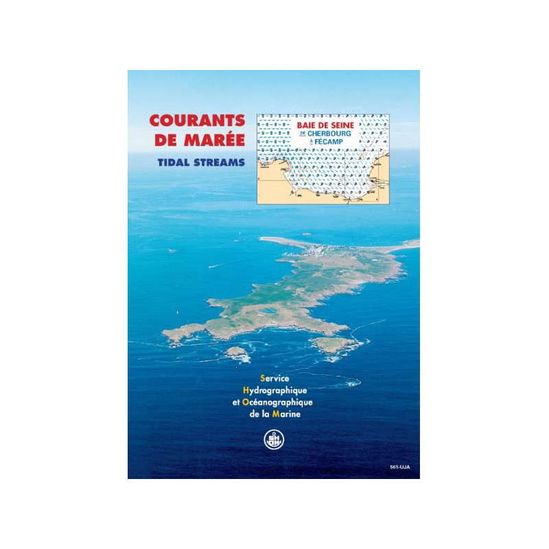




Navigate the Bay of Seine with precision using this tidal currents atlas, covering Cherbourg to Fécamp. Essential for safe sailing, fishing, diving, and environmental studies.
Data sheet
Specific References
Master the Tides with the Definitive Tidal Current Atlas for Seine Bay
Unlock the secrets of the English Channel’s most dynamic waters with this expertly crafted tidal current atlas, covering the critical stretch from Cherbourg to Fécamp. Designed for maritime professionals who demand precision, this printed atlas provides an unparalleled visual representation of tidal currents, updated hourly for both mean spring and neap tides. Whether you're navigating commercial routes, planning fishing expeditions, or conducting environmental assessments, this tool delivers the data you need to operate safely and efficiently in one of Europe’s most challenging maritime environments.
Engineered for Accuracy and Reliability
Built on decades of hydrodynamic research, this atlas leverages advanced modeling techniques to map surface currents with pinpoint accuracy. Each of the 12 charts per sector is meticulously designed to reflect the unique tidal patterns of the Seine Bay, including high-traffic zones like the Seine Estuary, Northern Cotentin, and Cherbourg Roadstead. The Mercator projection ensures seamless integration with modern navigation systems, while the unlimited validity of the data guarantees long-term usability. Weighing just 1 kg, this printed atlas is durable, portable, and ready for use in any maritime setting.
Trusted by Professionals Across the Maritime Industry
From commercial shipping companies to environmental researchers, this tidal current atlas is the gold standard for tidal data in the Seine Bay. It empowers navigators to optimize routes, reduce fuel consumption, and avoid hazardous conditions, while fishermen and divers rely on it to plan operations with confidence. For regatta sailors, it provides a competitive edge by offering precise current predictions for race strategy. Beyond navigation, this atlas supports critical environmental studies, including coastal development projects and waste discharge assessments, making it an indispensable resource for anyone operating in these waters.
Designed for Real-World Maritime Challenges
The Seine Bay is known for its complex and often unpredictable tidal currents, which can pose significant risks to vessels and operations. This atlas addresses those challenges head-on by providing clear, actionable data that eliminates guesswork. Whether you're navigating the bustling ports of Le Havre or conducting surveys in the open sea, this tool ensures you have the insights needed to make informed decisions. With its robust construction and user-friendly design, it’s built to perform in the toughest conditions, making it a must-have for any maritime professional.
This tidal current atlas delivers precise, hour-by-hour visualizations of surface currents for the Seine Bay, covering both mean spring and neap tides. Featuring 12 detailed charts per sector, it includes critical zones such as the Seine Estuary, Northern Cotentin, and Cherbourg Roadstead. The Mercator projection ensures compatibility with navigation systems, while the printed format guarantees durability and ease of use in any maritime environment.
With a legacy rooted in over two centuries of maritime expertise, this publisher is the official hydrographic and oceanographic authority for France. Renowned for its scientific rigor and precision, it provides essential data and tools for safe and efficient navigation, environmental research, and maritime operations worldwide. Its publications are trusted by professionals across the globe for their accuracy, reliability, and commitment to advancing maritime knowledge.
The charts cover the Seine Bay area, specifically from Cherbourg to Fécamp, including detailed sectors like the Seine Estuary (Ouistreham to Étretat), the northern Cotentin, and Cherbourg Roadstead.
Tidal currents are shown as surface currents at one-hour intervals throughout a typical semi-diurnal tidal cycle, for both mean spring and neap tides.
No, this edition is only available in paper format.
The maps use the Mercator projection.
Each sector includes 12 charts.
No, the atlas has an unlimited validity period as it is based on long-term tidal and hydrodynamic modeling.
The atlas is written in French.
You might also like