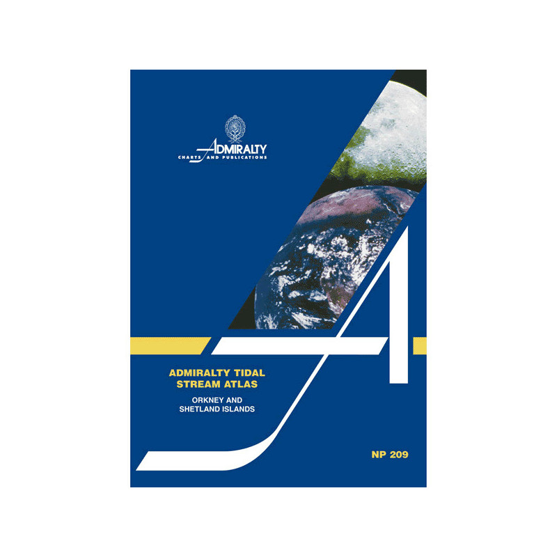




Essential for mariners, this tidal stream atlas covers Orkney and Shetland with hourly current data. Clear diagrams show direction and speed, helping you plan voyages with confidence and accuracy.
Data sheet
Specific References
Master the Tides of Northern Europe’s Most Complex Waters
This authoritative tidal stream atlas delivers the precise current data maritime professionals need to navigate the challenging waters between Scotland and Norway. Covering the Orkney and Shetland Islands with unmatched detail, it provides hourly tidal stream information that transforms voyage planning from guesswork into science.
Engineered for Professional Maritime Operations
Developed specifically for commercial shipping, fishing fleets, and offshore energy operations, this atlas offers more than just tidal predictions - it provides a complete operational picture. The 4th edition incorporates decades of hydrographic data to deliver direction and velocity information for mean, neap, and spring tides, all presented in intuitive visual formats that bridge crews can interpret at a glance.
Precision Data for Critical Decision Making
The publication’s graduated arrows show tidal rates in tenths of knots, allowing for exact calculations of current effects on vessel speed and fuel consumption. A specialized calculation diagram enables operators to determine tidal flow for any specific date, while the comprehensive coverage - from 58°30'N to 61°00'N latitude and 4°00'W to 0°00'E longitude - ensures complete situational awareness across the entire operational area.
Built for the Demands of Northern European Waters
Weighing 1.9 kg and presented in a durable paperback format, this atlas is designed to withstand the rigors of bridge use while remaining accessible to all crew members. The clear visual representations of tidal patterns make it equally valuable for experienced captains planning complex transits through the Pentland Firth and junior officers learning the intricacies of northern European tides.
This 4th edition tidal stream atlas provides comprehensive coverage of the Orkney and Shetland Islands region, featuring hourly tidal stream diagrams with direction and velocity data. The publication includes graduated arrows showing mean, neap, and spring tidal rates in tenths of knots, along with a specialized calculation diagram for determining tidal flow on specific dates. The 1.9 kg paperback format spans geographic coordinates from 58°30'N to 61°00'N latitude and 4°00'W to 0°00'E longitude, presenting all information in English.
For over two centuries, this hydrographic office has set the global standard for maritime navigation publications. As the official charting authority for one of the world's leading maritime nations, their products are developed using the most comprehensive tidal and current data available, collected through advanced surveying techniques and decades of continuous observation. Their publications are trusted by commercial fleets, navies, and offshore operators worldwide, with each edition undergoing rigorous quality control to ensure the accuracy that professional mariners require for safe and efficient operations in challenging waters.
The atlas covers tidal stream data for the Orkney and Shetland Islands, including detailed hourly direction and speed of tidal currents.
Tidal current speeds are shown using graduated arrows, indicating mean, neap, and spring rates in tenths of a knot.
Yes, an additional diagram is included to help calculate tidal stream flow for any given date.
This is the 4th edition, published in 1986.
The paper version weighs 1.9 kg.
Yes, the diagrams provide pictorial representations of tidal currents for each hour before and after the reference port.
The content is available in English.
You might also like