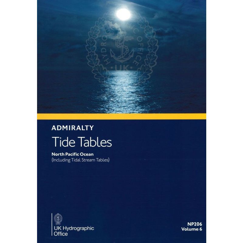


Admiralty - NP206 - Tide Tables Vol 6 North Pacific Ocean
search
  • googlemap
  • Admiralty - NP206 - Tide Tables Vol 6 North Pacific Ocean

Admiralty - NP206 - Tide Tables Vol 6 North Pacific Ocean

€85.25
Tax included
Admiralty - United Kingdom Hydrographic Office
In English language
Estimated preparation time: 5 to 14 days

Navigate the North Pacific with confidence using the 2026 tide tables. Covers 230+ standard and 6000 secondary ports with precise tidal data for safe and efficient voyages.

NP206

Data sheet

Who is the publisher or the author?
Admiralty
On what digital medium is this nautical chart / book stored?
paper medium
From which year does this nautical chart date?
2026
What type of navigation book is this?
tide tables
Picto
In English language

Specific References

UPC
400000133959
EAN13
4000000107811
New
Description détaillée

Tide Tables Volume 6 – North Pacific Ocean

Publication in English
Printed version

Unmatched Precision for Safe Navigation in the North Pacific

When every nautical mile counts, this tide table delivers the critical tidal data you need to navigate the North Pacific Ocean with confidence. Designed for mariners who demand accuracy, this annual publication provides comprehensive tidal predictions for over 6,200 ports, ensuring you can plan your voyages with precision and avoid the risks of unexpected tidal variations.

Comprehensive Tidal Data for Over 6,200 Ports

  • Includes high and low water times and heights for more than 230 standard ports and 6,000 secondary ports across the North Pacific.
  • Covers key regions from the Bering Sea to the coasts of Central America, ensuring full coverage of one of the world’s most trafficked maritime zones.
  • Provides essential tidal stream data, allowing you to account for currents and optimize your route planning.

Trusted by Maritime Professionals Worldwide

This publication is the go-to resource for commercial shipping, fishing fleets, and offshore operations in the North Pacific. Whether you’re navigating busy shipping lanes, planning port entries, or conducting offshore surveys, these tide tables offer the reliability and detail required for safe and efficient maritime operations.

Engineered for Practical Use at Sea

  • Printed in a durable, easy-to-handle format designed for use on the bridge or in the chartroom.
  • Includes clear instructions for tidal predictions, ensuring accurate calculations even in complex tidal systems.
  • Features additional guidance on meteorological effects, helping you adjust for real-world conditions like wind and atmospheric pressure.

Annual Updates for Unmatched Accuracy

Published annually, this volume reflects the latest hydrographic data, ensuring your tidal predictions are based on the most current information available. The 2026 edition is indispensable for mariners who cannot afford to rely on outdated or incomplete tidal references.

Essential for Compliance and Safety

  • Meets international maritime standards, making it a required reference for commercial vessels operating in the North Pacific.
  • Supports compliance with SOLAS (Safety of Life at Sea) regulations by providing verified tidal data.
  • Used by hydrographic offices, port authorities, and maritime training institutions to ensure consistent and accurate tidal information.

Optimized for Professional Use

From deep-sea shipping to coastal navigation, this tide table is an indispensable tool for any mariner operating in the North Pacific. Its detailed coverage, combined with practical guidance on tidal calculations, makes it the most reliable resource for planning safe and efficient voyages in one of the world’s most dynamic maritime environments.

Navigate the North Pacific with Confidence Using the Most Comprehensive Tide Tables Available
This annual publication is the definitive reference for tidal predictions in the North Pacific Ocean, covering over 6,200 ports with unmatched precision. Designed for maritime professionals, it provides high and low water times and heights for 230 standard ports and 6,000 secondary ports, ensuring you have the data needed to plan safe and efficient voyages. Whether you're navigating commercial shipping lanes, fishing grounds, or offshore operations, these tide tables deliver the accuracy required for critical decision-making at sea.

Engineered for Reliability and Ease of Use
The 2026 edition of this tide table is printed in a durable, softcover format, making it easy to handle and reference on the bridge or in the chartroom. Weighing just 1.9 kg, it strikes the perfect balance between portability and comprehensive coverage. With 405 pages of detailed tidal data, including tidal stream information and methods for predicting tides under varying meteorological conditions, this publication is an essential tool for mariners who demand precision and reliability.

Trusted by the Global Maritime Industry
Recognized as one of the most complete tidal references in the world, this publication is used by commercial fleets, port authorities, and hydrographic offices across the globe. It supports compliance with international maritime regulations, including SOLAS, by providing verified and up-to-date tidal data. The 2026 edition ensures you have the latest hydrographic information, allowing you to navigate the North Pacific’s complex tidal systems with confidence.

This annual tide table provides high and low water predictions for over 6,200 ports in the North Pacific Ocean, including 230 standard ports and 6,000 secondary ports. The 2026 edition features 405 pages of detailed tidal data, tidal stream information, and methods for adjusting predictions based on meteorological conditions. Printed in a durable softcover format, it weighs 1.9 kg and covers latitudes from 1.49°N to 66.34°N and longitudes from 140.58°E to 166.31°W.

For over two centuries, this hydrographic office has been a global leader in maritime navigation, providing accurate and reliable nautical publications used by commercial fleets, navies, and maritime authorities worldwide. Their tide tables are recognized as the gold standard for tidal predictions, ensuring safety and efficiency in maritime operations across the globe.

  • This tide table offers unparalleled coverage of the North Pacific Ocean, with data for over 6,200 ports, ensuring you have the most comprehensive tidal information available.
  • Its annual updates guarantee the latest hydrographic data, while its durable print format makes it easy to use on the bridge or in the chartroom.
  • Trusted by maritime professionals, it supports compliance with international safety standards and provides essential guidance for navigating complex tidal systems.
What is the coverage area for tide predictions in this volume?

This volume covers the North Pacific Ocean, including tide predictions for over 230 standard ports and 6,000 secondary ports within the specified latitudes and longitudes.

Are tidal current tables included in this publication?

Yes, this publication includes tidal current tables alongside tide predictions for the covered region.

How often is this publication updated?

This publication is updated annually, with the 2026 edition providing the latest tide predictions and data.

What methods are provided for tide prediction?

It includes methods for predicting tides, as well as information on how weather conditions can affect tidal patterns.

Is this publication suitable for professional maritime navigation?

Yes, it is designed for professional use, offering comprehensive and precise tide and tidal current data for safe navigation.

What is the total number of pages in this volume?

This volume contains a total of 405 pages.

When will the 2026 edition be available for purchase?

The 2026 edition will be published and available starting December 1, 2026.

Loading...