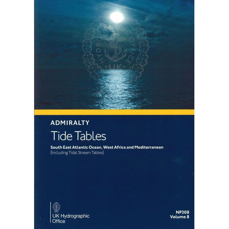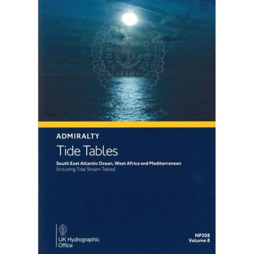




2026 tide tables for the Southeast Atlantic, West Africa, and Mediterranean. Covers 500+ standard ports, tidal currents, and harmonic constants for safe navigation and planning.
Data sheet
Specific References
Master Tidal Navigation with the 2026 Edition of Tide Tables Volume 8
This authoritative tide table is the go-to resource for mariners navigating the Southeast Atlantic Ocean, West Africa, and the Mediterranean. Published annually, it provides unparalleled accuracy for tidal predictions, ensuring safe and efficient maritime operations. Whether you're a ship captain, port operator, or offshore professional, this volume delivers the critical data needed to plan voyages, optimize schedules, and avoid costly delays caused by unexpected tidal conditions.
Unmatched Coverage for Professional Mariners
With data for over 500 standard ports and 5,700 secondary ports, this tide table offers the most comprehensive coverage available for the region. It includes daily high and low tide times and heights for standard ports, as well as time and height differences for secondary ports, allowing for precise local predictions. Additionally, it features tidal stream tables, harmonic constants, and methodologies for advanced tidal calculations, making it an indispensable tool for any maritime professional.
Built for Reliability and Durability
Printed in a sturdy A4 format, this 310-page volume is designed to withstand the rigors of life at sea. The 2026 edition includes all necessary corrections and updates, ensuring that you have the most current and accurate tidal data at your fingertips. Weighing just 2.63 lb, it is lightweight enough to carry on board while remaining robust enough to endure frequent use in demanding maritime environments.
Trusted by Industry Leaders
For generations, this tide table has been the standard reference for merchant mariners, port authorities, and offshore industries. Its reputation for accuracy and reliability is unmatched, making it the preferred choice for professionals who cannot afford to compromise on tidal data. Whether you're navigating busy shipping lanes, planning port operations, or conducting offshore surveys, this volume provides the confidence and precision needed to operate safely and efficiently.
This 2026 edition of Tide Tables Volume 8 provides comprehensive tidal data for the Southeast Atlantic Ocean, West Africa, and the Mediterranean. It includes daily high and low tide predictions for over 500 standard ports, along with time and height differences for 5,700 secondary ports. The volume also features tidal stream tables, harmonic constants, and methodologies for advanced tidal calculations. Printed in English on durable A4 paper, this 310-page publication weighs 2.63 lb and is designed for professional maritime use.
With a legacy spanning over two centuries, this hydrographic authority is a global leader in maritime data and navigation solutions. Renowned for its precision and reliability, it provides essential resources for commercial shipping, offshore industries, and maritime safety. Its publications are trusted by mariners worldwide, ensuring safe and efficient navigation in even the most challenging waters.
This volume covers the Southeast Atlantic Ocean, West Africa, and the Mediterranean Sea, including over 500 standard ports and 5,700 secondary ports.
Yes, this publication includes tidal current tables along with detailed tide predictions for the covered regions.
This publication is updated and published annually, with the latest edition available for 2026.
The publication includes harmonic constants and step-by-step methods for predicting tides, along with corrections for meteorological effects and exceptional tidal factors.
Yes, it provides time and height differences for over 5,700 secondary ports, allowing users to calculate tide predictions for those locations.
This paperback publication weighs approximately 2.63 pounds.
Yes, it is designed for professional use, providing precise tide and current data essential for safe maritime navigation in the covered regions.
You might also like