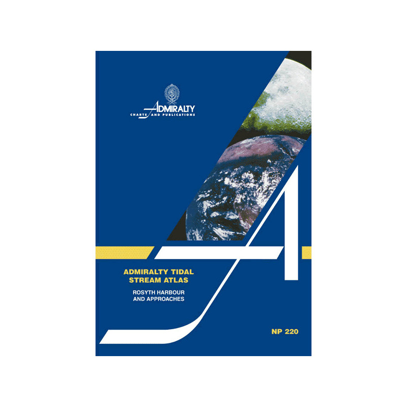


Admiralty - NP220 - Tidal Stream Atlas Rosyth Harbour and Approaches
search
  • googlemap
  • Admiralty - NP220 - Tidal Stream Atlas Rosyth Harbour and Approaches

Admiralty - NP220 - Tidal Stream Atlas Rosyth Harbour and Approaches

€44.05
Tax included
Admiralty - United Kingdom Hydrographic Office

In English language
Estimated preparation time: 5 to 14 days

This tidal stream atlas for Rosyth Harbour offers hourly tidal current data, including directions and speeds for neap and spring tides. Perfect for precise maritime navigation.

NP220

Data sheet

Who is the publisher or the author?
Admiralty
On what digital medium is this nautical chart / book stored?
paper medium
What type of navigation book is this?
tidal currents
What is the size?
paper medium
Picto
In English language

Specific References

UPC
400000062839
EAN13
4000000107897
New
Description détaillée

Tidal Stream Atlas Rosyth Harbour and Approaches

Publication in English
Paperback edition

Precision Navigation for Maritime Professionals

Navigate the challenging waters of Rosyth Harbour and its approaches with unmatched accuracy. This tidal stream atlas delivers hourly diagrammatic representations of tidal currents, ensuring safe and efficient voyage planning for commercial vessels, naval operations, and maritime professionals. Every detail is meticulously mapped to support critical decision-making in dynamic tidal environments.

Comprehensive Tidal Data for Strategic Planning

Gain access to essential tidal stream information, including:
- Hourly tidal current directions and speeds for both spring and neap tides
- Graduated arrows indicating tidal rates in tenths of a knot for precise calculations
- A dedicated diagram to compute current flow for any given date
This atlas is an indispensable tool for optimizing routes, reducing fuel consumption, and enhancing operational safety in one of the UK’s busiest maritime zones.

Engineered for Reliability and Durability

Designed for real-world maritime use, this paperback edition combines portability with resilience. Lightweight yet robust, it withstands the demands of onboard environments while providing instant access to critical tidal data. Its clear, intuitive layout ensures quick interpretation, even in high-pressure situations.

Trusted by Maritime Experts Worldwide

Adopted by shipping companies, naval fleets, and maritime authorities, this tidal stream atlas sets the standard for tidal navigation. Its authoritative data, derived from decades of hydrographic expertise, guarantees compliance with international maritime regulations and best practices. Whether for commercial shipping, port operations, or naval missions, this atlas delivers the accuracy and reliability professionals depend on.

Optimized for Professional Use

Tailored for the needs of the merchant marine, this publication eliminates guesswork in tidal navigation. By providing visual, easy-to-interpret tidal stream data, it empowers crews to:
- Anticipate and mitigate tidal hazards
- Plan fuel-efficient routes
- Ensure timely arrivals and departures
- Comply with maritime safety protocols
A must-have resource for captains, navigators, and maritime planners operating in the Rosyth Harbour region.

Master Tidal Currents with the Definitive Rosyth Harbour Navigation Atlas
Unlock unparalleled precision in tidal navigation with this specialized tidal stream atlas, designed exclusively for Rosyth Harbour and its approaches. This paperback edition provides hourly diagrammatic representations of tidal currents, including both spring and neap tides, ensuring maritime professionals can plan voyages with confidence. Featuring graduated arrows that indicate tidal rates in tenths of a knot, this atlas transforms complex tidal data into actionable insights for safer, more efficient navigation.

Engineered for Maritime Professionals
Weighing just 140 grams, this lightweight yet durable atlas is built to withstand the rigors of onboard use. Its clear, intuitive layout allows for quick interpretation of tidal patterns, even in high-pressure situations. Whether you're navigating commercial vessels, managing port operations, or conducting naval missions, this atlas provides the critical data needed to optimize routes, reduce fuel consumption, and enhance operational safety.

Comprehensive Tidal Data for Every Voyage
This atlas goes beyond basic tidal information by offering a dedicated diagram to calculate current flow for any given date. With coverage of Rosyth Harbour and its approaches, it delivers the most accurate and up-to-date tidal stream data available. Trusted by shipping companies, maritime authorities, and naval fleets worldwide, this publication ensures compliance with international maritime standards while supporting strategic decision-making in dynamic tidal environments.

This tidal stream atlas provides detailed hourly diagrammatic representations of tidal currents for Rosyth Harbour and its approaches, including spring and neap tides. It features graduated arrows indicating tidal rates in tenths of a knot, along with a diagram for calculating current flow for any specific date. Published in its 2nd edition in 1991 and reprinted in 2003, this paperback atlas weighs 140 grams and is designed for professional maritime use.

With a legacy spanning over two centuries, this hydrographic authority is the global benchmark for maritime navigation publications. Renowned for its precision, reliability, and adherence to international standards, it provides essential tools for commercial shipping, naval operations, and maritime safety worldwide. Its publications are trusted by professionals to deliver accurate, up-to-date data for safe and efficient navigation.

  • This tidal stream atlas offers unmatched accuracy in tidal current representation, ensuring safer and more efficient navigation in Rosyth Harbour and its approaches. Its lightweight, durable design makes it ideal for onboard use, while the clear, intuitive layout allows for quick interpretation of complex tidal data. By providing hourly updates on tidal directions and speeds, it optimizes route planning, reduces fuel consumption, and enhances operational safety for maritime professionals.
What is the coverage area of this tidal stream atlas?

The atlas provides detailed tidal stream data for Rosyth Harbour and its approaches in northwestern European waters.

How are tidal stream speeds represented in the atlas?

Tidal stream speeds are shown using graduated arrows, indicating average rates in tenths of a knot for each hour.

Does this atlas include data for both spring and neap tides?

Yes, it includes diagrammatic representations of tidal stream directions and speeds for both spring and neap tides.

What is the weight of the printed atlas?

The printed version weighs 140 grams.

How can I determine the tidal stream flow for a specific date?

The atlas includes a diagram specifically designed to calculate tidal stream flow for any given date.

Is this atlas available in languages other than English?

No, the atlas is only available in English.

When was the latest reprint of this edition published?

The second edition, originally published in 1991, was last reprinted in 2003.

Loading...