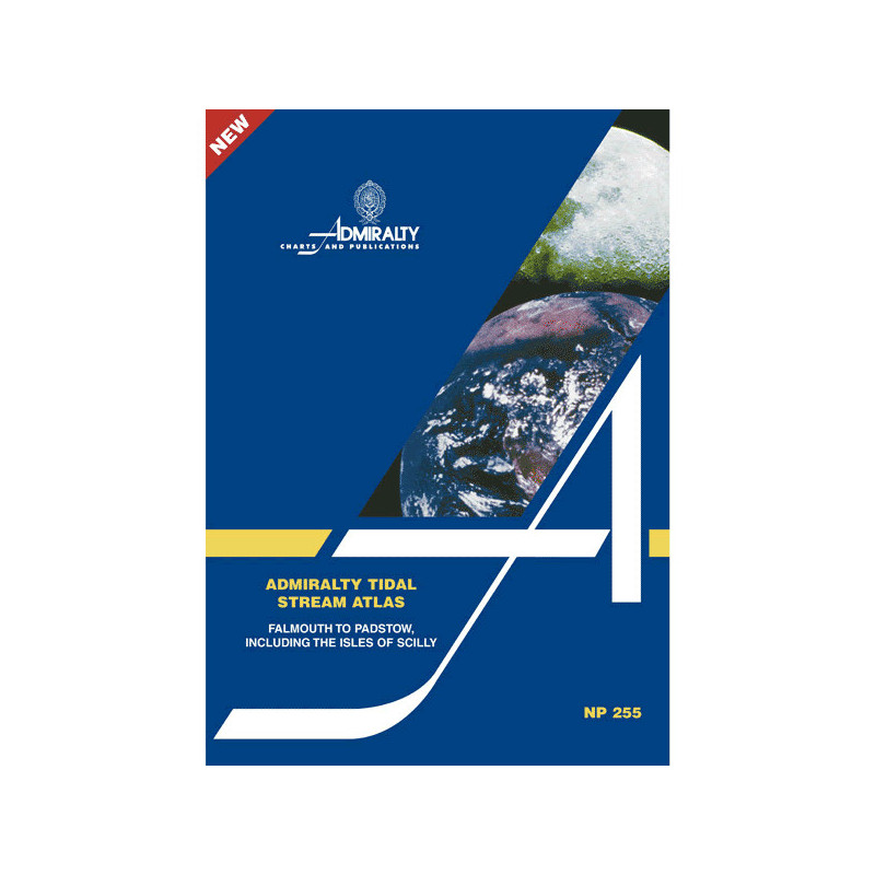




Essential for mariners, this Tidal Stream Atlas covers Falmouth to Padstow, detailing tidal stream directions and speeds in tenths of a knot. Plan your route with confidence using hourly diagrams.
Data sheet
Specific References
Master the Tides with the Definitive Coastal Navigation Resource
When every knot of current matters, this tidal stream atlas provides the clarity and precision required to navigate the UK’s southwestern coast with confidence. Covering the high-traffic corridor from Falmouth to Padstow—including the treacherous waters around the Isles of Scilly—it delivers hourly tidal stream data in an easy-to-interpret diagrammatic format. Designed for mariners who cannot afford uncertainty, this publication transforms complex tidal patterns into actionable intelligence, ensuring safer, faster, and more efficient voyages.
Engineered for Accuracy and Reliability
Built on decades of hydrographic expertise, this atlas presents tidal stream directions and velocities in tenths of a knot, offering granular detail for both spring and neap tides. Each page features graduated arrow diagrams that clearly indicate mean, slack, and spring tide rates, allowing navigators to anticipate current shifts with precision. A dedicated calculation diagram further simplifies route planning by enabling users to determine current flow for any date, eliminating the need for manual interpolation or guesswork.
Optimized for Professional Use in Challenging Waters
The Falmouth to Padstow region is renowned for its complex tidal interactions, particularly around headlands and islands where currents can shift rapidly. This atlas addresses these challenges head-on, providing tailored data that accounts for local anomalies. Its inclusion of the Isles of Scilly—a critical waypoint for vessels transiting the area—ensures that mariners have the information needed to navigate one of the UK’s most demanding coastal stretches safely.
Designed for Integration into Modern Navigation Systems
While electronic navigation systems dominate modern bridge operations, this paperback atlas serves as a vital fail-safe, offering an offline reference that is immune to power failures or technical malfunctions. Its standardized format allows for seamless cross-referencing with Admiralty charts and sailing directions, creating a cohesive navigational toolkit. Weighing just 1.9 kg, it is lightweight enough for use on the bridge or in the chartroom, yet durable enough to withstand the demands of professional maritime operations.
Proven Performance for Commercial and Offshore Operations
Trusted by commercial shipping fleets, fishing vessels, and offshore operators, this atlas is more than a reference—it is a mission-critical asset. By providing clear, intuitive data, it reduces the cognitive load on navigators, allowing them to focus on execution rather than calculation. Whether optimizing routes for fuel efficiency, avoiding hazardous currents, or planning long-distance voyages, this publication delivers the precision needed to operate safely and efficiently in one of the UK’s busiest maritime regions.
This tidal stream atlas provides comprehensive tidal current data for the coastal region from Falmouth to Padstow, including the Isles of Scilly. Published in 2004, it features detailed diagrammatic representations of tidal stream directions and velocities in tenths of a knot, covering both spring and neap tides. The paperback edition weighs 1.9 kg and includes hourly arrow diagrams for mean, slack, and spring tide rates, along with a calculation diagram for determining current flow on any given date.
With a legacy spanning over two centuries, this organization is the global authority in hydrographic surveying and maritime data. Renowned for its precision and reliability, it provides the foundational navigation tools used by commercial fleets, naval forces, and offshore industries worldwide. Its publications are the gold standard for mariners operating in some of the world’s most challenging waters, ensuring safety and efficiency through unparalleled accuracy.
The atlas covers tidal streams from Falmouth to Padstow, including the Isles of Scilly, with detailed diagrammatic representations of current directions and speeds.
Tidal current speeds are shown in tenths of a knot, with diagrams indicating mean, slack, and spring tide rates for each hour.
Yes, it provides detailed tidal stream information for both neap and spring tides, including average rates.
Yes, the atlas includes a diagram specifically designed to help calculate current flow for any given date.
The printed version weighs 1.9 kg.
No, the atlas is only available in English.
This is the first edition, published in 2004.
You might also like