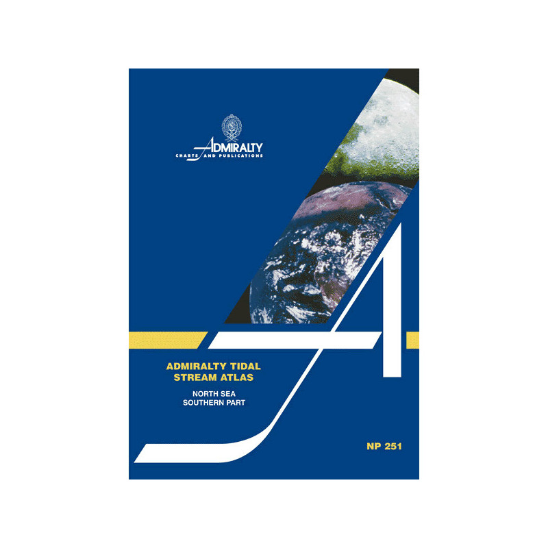




Plan your route in the southern North Sea with confidence. This atlas maps tidal currents hourly, including speeds and directions, for 6 hours before and after high water at Dover.
Data sheet
Specific References
Master the Tides of the Southern North Sea with Unrivaled Accuracy
When navigating the bustling waters of the southern North Sea, precision isn’t just an advantage—it’s a necessity. This tidal stream atlas provides mariners with hourly tidal current data, meticulously mapped from 6 hours before to 6 hours after high water at Dover. Whether you're charting a course for commercial shipping, fishing operations, or offshore logistics, this atlas ensures you have the critical insights needed to optimize routes, reduce fuel consumption, and enhance safety. The southern North Sea’s dynamic tidal patterns demand reliable tools, and this publication delivers with unmatched detail and clarity.
Engineered for Professional Mariners
Designed specifically for the demands of maritime professionals, this atlas offers a comprehensive view of tidal streams, including mean rates, neap tides, and spring tides—all presented in tenths of a knot for granular accuracy. The diagrams feature graduated arrows, allowing you to calculate current flow for any date with ease. This level of detail is essential for planning voyages in one of Europe’s most trafficked and challenging maritime regions, where even minor miscalculations can lead to delays or hazards.
Built for Durability and Onboard Use
Weighing just 1.9 kg, this paperback atlas is designed to withstand the rigors of onboard use. Its durable format ensures that critical tidal data remains accessible, even in harsh maritime conditions. The atlas covers a precise geographic area, spanning latitudes from approximately 50.5°N to 56.0°N and longitudes from 0.0°E to 5.0°E, providing localized insights that generic charts simply can’t match. For mariners who rely on accuracy, this publication is an indispensable tool for navigating the southern North Sea’s ever-changing currents.
This tidal stream atlas provides detailed hourly tidal current data for the southern North Sea, covering the area from approximately 50.5°N to 56.0°N latitude and 0.0°E to 5.0°E longitude. It includes mean, neap, and spring tide rates in tenths of a knot, with graduated arrows for easy current flow calculations. The paperback edition weighs 1.9 kg and is designed for durability in professional maritime environments.
With a legacy of over two centuries, this organization is a global leader in hydrographic and maritime data. Renowned for its precision and reliability, it provides essential tools for safe and efficient navigation, trusted by mariners, shipping companies, and naval forces worldwide. Its publications are the gold standard for professional maritime operations, ensuring accuracy in even the most challenging waters.
The atlas provides tidal current predictions from 6 hours before to 6 hours after high water at Dover.
Tidal stream rates are shown in tenths of a knot, including mean rates, neap tides, and spring tides.
No, this atlas specifically covers the southern part of the North Sea and adjacent northwestern European waters.
The graduated arrows help calculate the current flow rate for a specific date, aiding in precise navigation planning.
No, this is a paper-based atlas and is not compatible with digital navigation systems.
The shipping weight of the atlas is 130 grams.
You might also like