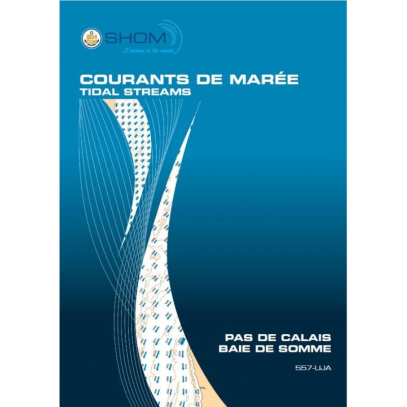


Shom - 557-UJA - courant de marée : Pas de Calais / Baie de Somme - De Fécamp à Dunkerque
search
  • googlemap
  • Shom - 557-UJA - courant de marée : Pas de Calais / Baie de Somme - De Fécamp à Dunkerque

Shom - 557-UJA - courant de marée : Pas de Calais / Baie de Somme - De Fécamp à Dunkerque

€40.19
Shom - Service Hydrographique et Océanographique de la Marine
In French language
Estimated preparation time: 0 to 5 days

This tidal currents atlas covers the English Channel and Somme Bay, mapping hourly surface currents from Fécamp to Dunkirk. Perfect for safe navigation, fishing, and diving in spring and neap tides.

shom-557UJA

Data sheet

Who is the publisher or the author?
Shom
On what digital medium is this nautical chart / book stored?
paper medium
From which year does this nautical chart date?
2018
What type of navigation book is this?
tidal currents
What is the size?
paper medium
Picto
In French language

Specific References

UPC
400000064406
EAN13
9782111283695
New
Description détaillée

Tidal Current Atlas: Strait of Dover / Somme Bay – From Fécamp to Dunkirk

Publication in French
Printed book version

Precision Navigation for Maritime Professionals

Navigate the challenging waters of the Strait of Dover and Somme Bay with unmatched accuracy. This tidal current atlas delivers critical data for safe and efficient maritime operations, covering the coastal stretch from Fécamp to Dunkirk. Designed for commercial shipping, fishing vessels, and environmental studies, it provides hourly surface current visualizations for a complete semi-diurnal tidal cycle, under both spring and neap tide conditions. The high-resolution hydrodynamic modeling ensures reliable, up-to-date information for decision-making in dynamic marine environments.

Comprehensive Tidal Data for Strategic Planning

  • Detailed current fields mapped at one-hour intervals for a full tidal cycle
  • Coverage of key ports: Dunkirk-Calais, Boulogne-sur-Mer, Dieppe, and Le Tréport
  • Data modeled for average spring and neap tides, reflecting real-world conditions
  • Mercator projection for accurate spatial representation and navigation
  • Three distinct sectors, each with 12 charts, ensuring granular local insights

Engineered for Professional Use

This atlas is a vital tool for maritime professionals who require precise tidal current data. Whether navigating busy shipping lanes, planning port infrastructure, or conducting environmental assessments, the atlas provides the foundational data needed to optimize routes, reduce fuel consumption, and enhance safety. The 2014 edition, updated with 2018 corrections, guarantees long-term reliability for operational and strategic applications.

Optimized for Field Use and Long-Term Reference

  • Printed format for durability and ease of use in all conditions
  • Unlimited validity, ensuring a lasting resource for maritime operations
  • Clear, high-contrast visuals for quick interpretation of current patterns
  • Organized by sector and time intervals for efficient navigation planning
  • Essential for compliance with maritime regulations and environmental standards

Trusted Resource for High-Stakes Maritime Environments

The Strait of Dover and Somme Bay are among the most trafficked and environmentally sensitive areas in Europe. This atlas equips mariners, port authorities, and environmental agencies with the data needed to navigate these waters safely and sustainably. From avoiding hazardous currents to optimizing vessel performance, the atlas supports a wide range of applications, making it an indispensable resource for professionals operating in this critical region.

Master the Tides with the Ultimate Tidal Current Atlas for the Strait of Dover and Somme Bay
Unlock the secrets of one of Europe’s most dynamic maritime regions with this comprehensive tidal current atlas. Covering the coastal stretch from Fécamp to Dunkirk, this printed atlas provides hourly surface current visualizations for a complete semi-diurnal tidal cycle, under both spring and neap tide conditions. Engineered for professionals, it combines high-resolution hydrodynamic modeling with practical, field-ready data to support safe navigation, efficient route planning, and environmental assessments.

Precision Data for High-Stakes Maritime Operations
This atlas is built on advanced hydrodynamic modeling, delivering unparalleled accuracy for the Strait of Dover and Somme Bay. With 12 charts per sector and three distinct sectors, it offers granular insights into current patterns at one-hour intervals. The data is tailored for average spring and neap tides, ensuring relevance for real-world conditions. Whether you're navigating busy shipping lanes, managing port operations, or conducting environmental studies, this atlas provides the foundational data needed to make informed decisions.

Designed for Durability and Long-Term Use

Printed for durability and ease of use, this atlas is a reliable companion for maritime professionals. Updated with 2018 corrections, it guarantees long-term accuracy and relevance. The Mercator projection ensures spatial precision, while the clear, high-contrast visuals allow for quick interpretation of current patterns. Weighing just 1 kg, it’s portable enough for field use yet robust enough to withstand the demands of daily maritime operations.

This tidal current atlas provides detailed surface current data for the Strait of Dover and Somme Bay, covering the coastal stretch from Fécamp to Dunkirk. It includes 12 charts per sector across three sectors, mapped at one-hour intervals for a complete semi-diurnal tidal cycle. The data is modeled for average spring and neap tides, with a Mercator projection for spatial accuracy. The 2014 edition, updated with 2018 corrections, is available in a printed format and weighs 1 kg.

With a legacy of excellence in hydrography and oceanography, this organization is a global leader in providing precise, reliable maritime data. Specializing in tidal modeling, nautical charting, and environmental assessments, their publications are trusted by maritime professionals worldwide for their accuracy, durability, and practical applications in navigation, port management, and environmental planning.

  • This tidal current atlas offers unmatched precision for navigating the Strait of Dover and Somme Bay, with hourly surface current data modeled for both spring and neap tides. Its printed format ensures durability and ease of use in all conditions, while the high-resolution hydrodynamic modeling provides reliable, up-to-date information for safe and efficient maritime operations. Ideal for commercial shipping, fishing, and environmental studies, it supports strategic planning, fuel optimization, and compliance with maritime regulations.
What is the geographic coverage of this tidal current atlas?

The atlas covers the coastal area from Fécamp to Dunkerque, including the English Channel (Pas de Calais) and the Bay of Somme, with detailed sections for the ports of Dunkerque-Calais, Boulogne-sur-Mer, Dieppe, and Le Tréport.

How often are the tidal current maps updated in this atlas?

The atlas was last updated in 2014, with corrections applied up to 2018. The data remains valid indefinitely as it represents typical tidal patterns.

What type of tidal cycle is represented in the atlas?

The atlas visualizes surface current fields for a typical semi-diurnal tidal cycle, covering both mean spring and neap tides at hourly intervals.

Is this atlas available in digital format?

The official source now offers only the digital PDF version. The paper version, as listed here, is available through select retailers.

How many sectors are included in the tidal current mapping?

The atlas divides the coverage area into 3 sectors, each containing 12 maps that show tidal currents at one-hour intervals.

What projection is used for the maps in this atlas?

The maps use the Mercator projection, a standard for nautical charts that preserves angles and shapes for accurate navigation.

What is the weight of the paper version of this atlas?

The paper version of the atlas weighs approximately 1 kilogram.

Loading...