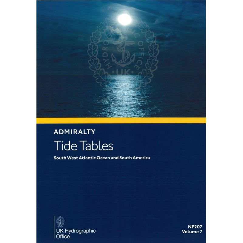


Admiralty - NP207 - Tide Tables Vol 7 South West Atlantic Ocean and South America

search
  • googlemap
  • Admiralty - NP207 - Tide Tables Vol 7 South West Atlantic Ocean and South America

Admiralty - NP207 - Tide Tables Vol 7 South West Atlantic Ocean and South America

€85.25
Tax included
Admiralty - United Kingdom Hydrographic Office
In English language
Estimated preparation time: 5 to 14 days

Stay safe navigating the South West Atlantic and South America with the 2026 tide tables. Covers daily high/low tides, harmonic constants, and secondary port differences for precise planning.

NP207

Data sheet

Who is the publisher or the author?
Admiralty
On what digital medium is this nautical chart / book stored?
paper medium
From which year does this nautical chart date?
2026
What type of navigation book is this?
tide tables
Picto
In English language

Specific References

UPC
400000133942
EAN13
4000000107828
New
Description détaillée

Tide Tables Volume 7: South West Atlantic Ocean and South America

Publication in English
Printed version

Essential Tidal Data for Safe Navigation

Navigate the South West Atlantic Ocean and South American waters with confidence using this comprehensive annual tide table publication. Designed for maritime professionals, this volume delivers precise tidal predictions and critical data to ensure safe and efficient voyages. Covering a vast region from the southern tip of South America to the Caribbean, this resource is indispensable for shipmasters, navigators, and maritime operations requiring accurate tidal information.

Daily Tidal Predictions for Standard and Secondary Ports

Access high and low water times and heights for standard ports, along with time and height differences for secondary ports, allowing for accurate tidal calculations across the entire coverage area. The publication includes harmonic constants for all known ports, enabling advanced tidal predictions tailored to specific locations. Whether navigating busy commercial routes or remote coastal areas, this data ensures optimal passage planning and operational safety.

Advanced Tidal and Current Information

Beyond basic tidal predictions, this volume provides detailed insights into tidal streams, prediction methods, and the impact of meteorological conditions on tides. Navigators can account for weather-related variations, ensuring more reliable voyage planning. The publication also highlights exceptional tidal factors by zone, offering critical knowledge for areas with unique tidal behaviors, such as strong currents or extreme tidal ranges.

Practical Tools for Maritime Professionals

Enhance efficiency with Admiralty QR codes for quick access to the latest Notices to Mariners (NMs) affecting the publication. This feature ensures that navigators always have up-to-date corrections and amendments, maintaining the accuracy of tidal data. The printed format provides a reliable, offline resource that is easy to reference on board, even in areas with limited digital connectivity.

Trusted Resource for Commercial Shipping and Maritime Operations

As part of one of the world’s most comprehensive tidal data catalogs, this publication is a trusted tool for the global maritime industry. It supports compliance with international navigation standards and enhances operational safety for commercial shipping, offshore industries, and maritime authorities. With its detailed coverage of the South West Atlantic and South America, this volume is an essential companion for professionals navigating these waters.

Precision Tidal Data for South West Atlantic and South American Waters
Plan your voyages with unmatched accuracy using the *Tide Tables Volume 7: South West Atlantic Ocean and South America*. This annual printed publication delivers comprehensive tidal predictions for 2026, covering a critical maritime region spanning from the southern tip of Argentina to the northern coasts of Brazil and the Caribbean. Designed for professional navigators, this volume provides daily high and low water times and heights for standard ports, along with time and height differences for over 100 secondary ports, ensuring precise tidal calculations for any location in the coverage area.

Advanced Harmonic Constants and Tidal Stream Data
Beyond basic tidal predictions, this volume includes harmonic constants for all known ports, enabling advanced tidal forecasting tailored to specific operational needs. Navigators can also access detailed tidal stream information, prediction methodologies, and insights into how meteorological conditions influence tides. This data is crucial for optimizing passage planning, avoiding hazardous areas, and ensuring safe navigation in regions with complex tidal patterns, such as the Magellan Strait or the Amazon River delta.

Practical Features for Onboard Use
Weighing 2.63 lb and spanning 180 pages, this printed publication is designed for durability and ease of use in maritime environments. It includes Admiralty QR codes for instant access to the latest Notices to Mariners (NMs), ensuring that navigators always have the most up-to-date corrections. The 2026 edition, published on December 23, 2025, is an indispensable tool for commercial shipping, offshore operations, and maritime authorities requiring reliable, offline tidal data for the South West Atlantic and South American waters.

This annual tide table publication covers the South West Atlantic Ocean and South America, providing 2026 tidal predictions for standard and secondary ports. It includes daily high and low water times and heights, harmonic constants, tidal stream data, and meteorological influences on tides. The printed volume spans 180 pages, weighs 2.63 lb, and features Admiralty QR codes for quick access to Notices to Mariners updates.

With over two centuries of expertise, this organization is a global leader in hydrographic and maritime data, providing trusted navigation publications and digital solutions to the commercial shipping industry, naval forces, and maritime authorities worldwide. Their comprehensive catalog of tidal, nautical, and oceanographic resources sets the standard for accuracy and reliability in maritime navigation.

  • This tide table publication offers unparalleled accuracy for South West Atlantic and South American waters, with daily tidal predictions for standard and secondary ports, harmonic constants for advanced forecasting, and tidal stream data for safe navigation. Its printed format ensures reliability in all conditions, while Admiralty QR codes provide instant access to the latest updates, making it an essential tool for maritime professionals.
What is the coverage area for this tide table volume?

This volume covers the South West Atlantic Ocean and South America, including detailed tidal data for ports within these regions.

Are harmonic constants included for all ports in this publication?

Yes, harmonic constants are provided for all known ports within the covered area.

How often is this tide table publication updated?

This is an annual publication, with the 2026 edition providing the latest tidal data and predictions.

Does this book include information on tidal currents?

Yes, it includes data on tidal currents, along with methods for predicting tides and the effects of weather conditions.

What is the weight of this paperback edition?

The paperback edition weighs 2.63 pounds.

Are there any digital tools included with this paper publication?

Yes, it includes Admiralty QR codes for quick access to the list of Notices to Mariners affecting the publication.

What is the publication date for the 2026 edition?

The 2026 edition will be published on December 23, 2025.

Loading...