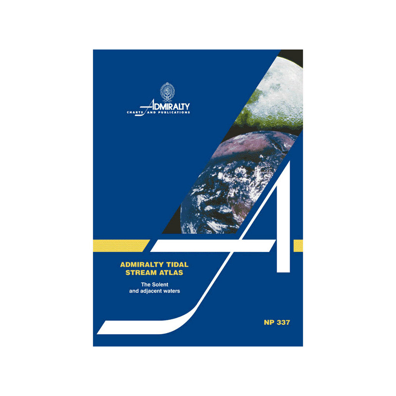


Admiralty - NP337 - Tidal Stream Atlas Solent and adjacent waters
search
  • googlemap
  • Admiralty - NP337 - Tidal Stream Atlas Solent and adjacent waters

Admiralty - NP337 - Tidal Stream Atlas Solent and adjacent waters

€40.59
Admiralty - United Kingdom Hydrographic Office
In English language
Estimated preparation time: 5 to 14 days

Essential for sailors, this Tidal Stream Atlas provides hourly tidal stream data for the Solent and nearby waters. Includes flow directions, speeds, and a calculation diagram for precise navigation.

NP337

Data sheet

Size
paper version
Author
Admiralty
Picto
In English language
Support
paper version
Book in version
paper version
Book type
Paper version of the tide directory and currents

Specific References

UPC
400000063010
EAN13
4000000108832
New
Description détaillée

Tidal Stream Atlas Solent and Adjacent Waters

Publication in English
Paperback edition

Essential Navigation Tool for Maritime Professionals

Navigate the complex tidal streams of the Solent and surrounding waters with unmatched precision. This tidal stream atlas delivers critical data for safe and efficient passage planning, tailored for commercial mariners, shipping operators, and professional navigators. Every detail is designed to enhance decision-making in one of Europe’s busiest maritime regions.

Comprehensive Tidal Data for Strategic Planning

This atlas provides hourly tidal stream directions and velocities, presented through clear, graduated arrows for both neap and spring tides. Speeds are expressed in tenths of a knot, allowing for granular adjustments to course and speed. A dedicated diagram simplifies the calculation of current flow for any given date, ensuring accurate predictions for optimal routing.

Engineered for Reliability in Demanding Conditions

  • Covers the Solent and adjacent waters, a critical zone for commercial and recreational traffic
  • Detailed graphical representation of tidal streams, eliminating guesswork in navigation
  • Data validated by the UK Hydrographic Office, the gold standard in maritime cartography
  • Lightweight and durable paperback format, designed for frequent onboard use
  • Trusted by maritime professionals for over three decades, with regular updates to maintain accuracy

Precision Where It Matters Most

The Solent’s dynamic tidal patterns demand tools that deliver clarity and confidence. This atlas transforms raw tidal data into actionable intelligence, reducing transit times, fuel consumption, and operational risks. Whether navigating narrow channels or planning long-haul routes, this resource ensures compliance with maritime regulations while optimizing performance.

Built for the Demands of Commercial Shipping

From container vessels to ferries, this atlas is an indispensable reference for professionals who cannot afford ambiguity. Its structured presentation of tidal streams allows for quick interpretation, even in high-pressure scenarios. The 4th edition, reprinted in 2001, reflects decades of hydrographic expertise, making it a cornerstone of maritime navigation in Northwest Europe.

Master the Tides of the Solent with Unrivaled Accuracy
Designed for mariners who demand precision, this Tidal Stream Atlas provides a complete visual guide to the tidal currents of the Solent and adjacent waters. Whether navigating commercial vessels, planning shipping routes, or ensuring safe passage through high-traffic zones, this atlas delivers the critical data needed to make informed decisions. With hourly tidal stream directions and velocities mapped for both neap and spring tides, it transforms complex tidal patterns into clear, actionable intelligence.


Engineered for Professional Use in High-Stakes Environments
Every detail in this atlas is crafted to meet the rigorous demands of commercial navigation. The tidal streams are represented using graduated arrows, with speeds expressed in tenths of a knot for granular control over course adjustments. A specialized diagram simplifies the calculation of current flow for any date, ensuring accurate predictions even in rapidly changing conditions. Lightweight yet durable, the paperback format is built to withstand frequent onboard use, making it a reliable companion for daily operations.

Trusted by Maritime Experts for Over Three Decades
Backed by the UK Hydrographic Office, this atlas reflects decades of hydrographic expertise and continuous refinement. The 4th edition, reprinted in 2001, ensures that mariners have access to validated, up-to-date data for one of Europe’s most challenging maritime regions. From reducing transit times to minimizing fuel consumption, this resource is an indispensable tool for optimizing performance and ensuring compliance with maritime regulations.

This Tidal Stream Atlas offers a detailed, paperback reference for the Solent and adjacent waters, featuring hourly tidal stream directions and velocities for neap and spring tides. The 4th edition, originally published in 1993 and reprinted in 2001, provides data in tenths of a knot, with a dedicated diagram for calculating current flow by date. Lightweight at 130 grams, it is designed for professional use in commercial navigation.

With a legacy spanning over two centuries, the UK Hydrographic Office is the global authority in maritime data and cartography. Renowned for its precision and reliability, it provides essential navigation tools trusted by commercial fleets, naval forces, and maritime professionals worldwide. Its publications set the standard for accuracy, safety, and operational efficiency in the maritime industry.

  • This Tidal Stream Atlas delivers unparalleled precision in tidal current mapping, ensuring safer and more efficient navigation through the Solent and adjacent waters. Its clear, graphical representation of hourly tidal streams eliminates guesswork, while the lightweight paperback format is built for durability in demanding onboard conditions. Backed by decades of hydrographic expertise, it provides validated data that reduces operational risks, optimizes fuel consumption, and enhances compliance with maritime regulations.
What areas are covered by this tidal stream atlas?

The atlas covers the Solent and adjacent waters in northwestern Europe, providing detailed tidal stream information for these regions.

How are tidal currents represented in the atlas?

Tidal currents are shown using graduated arrows, indicating direction and speed for both neap and spring tides, measured in tenths of a knot.

Can I calculate tidal stream flow for a specific date?

Yes, the atlas includes a diagram to help calculate tidal stream flow for any given date within the covered area.

What is the weight of the paper version?

The paper version weighs 130 grams, making it lightweight and easy to handle.

Is the content available in any language other than English?

No, the atlas is only available in English.

How often is the atlas updated?

The current edition is the 4th, published in 1993 and reprinted in 2001. Updates depend on new hydrographic data and revisions.

What is the IMPA code for this tidal stream atlas?

The IMPA code for this atlas is 371740.

Loading...