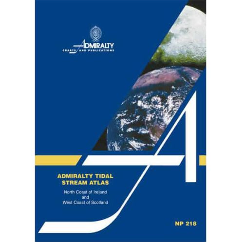




This tidal stream atlas for Northern Ireland and Western Scotland delivers hourly diagrams of tidal directions and speeds. Ideal for precise voyage planning in challenging coastal waters.
Data sheet
Specific References
Navigate the challenging waters of North Ireland and West Scotland with confidence. This essential tidal stream atlas delivers hourly tidal current data in an easy-to-read graphical format, ensuring safe and efficient voyage planning for commercial and professional mariners.
Master the Tides of North Ireland and West Scotland with Unmatched Precision
This professional-grade tidal stream atlas transforms complex tidal data into actionable navigation intelligence. Designed for mariners who demand accuracy in challenging waters, it provides hourly tidal current vectors across the entire coverage area, allowing for precise route planning in one of Europe's most dynamic tidal regions. The 1.9 kg paperback reference delivers critical data where it matters most—on the bridge, in the chartroom, or during pre-voyage planning sessions.
Graphical Precision for Professional Decision-Making
Unlike basic tide tables, this atlas presents tidal stream information through intuitive graphical representations. Each page features graduated arrows showing current direction and velocity for every hour before and after the reference port, with separate indicators for neap and spring tidal rates. This visual approach eliminates guesswork, enabling mariners to quickly assess tidal conditions and make informed decisions about optimal departure times, route selection, and speed adjustments.
Engineered for the Demands of Commercial Navigation
The coverage area spans critical maritime routes between 54.3°N and 59.5°N latitude, including the North Channel, Firth of Clyde, and Hebridean waters. With tidal currents reaching significant velocities in these regions, the atlas provides the detailed data needed to calculate tidal assistance or resistance for specific dates, ensuring fuel-efficient operations and schedule adherence. The durable paperback binding withstands frequent handling in maritime environments, while the clear layout allows for rapid information retrieval during time-sensitive operations.
Trusted Reference for Regulatory Compliance
As an essential component of professional maritime navigation, this tidal stream atlas supports compliance with international maritime safety regulations. The 1995 edition (reprinted 1998) incorporates decades of tidal observations, providing the reliable data needed for passage planning, risk assessment, and operational decision-making. Whether navigating commercial shipping lanes, fishing grounds, or offshore energy installations, this atlas delivers the tidal intelligence required for safe and efficient operations in one of Europe's most challenging maritime environments.
This professional navigation reference provides comprehensive tidal stream data in a durable 1.9 kg paperback format. The atlas covers the coastal waters between 54.3°N and 59.5°N latitude, including North Ireland and West Scotland, with hourly graphical representations of tidal currents. Each diagram shows current direction and velocity for neap and spring tides in tenths of a knot, enabling precise calculation of tidal effects for specific dates. The 1995 edition (reprinted 1998) remains the standard reference for professional mariners operating in these challenging tidal waters.
For over two centuries, this organization has set the global standard for maritime navigation data. As the official hydrographic authority for one of the world's leading maritime nations, they produce the most trusted nautical publications used by professional mariners worldwide. Their comprehensive range of navigation references combines cutting-edge hydrographic survey data with time-tested presentation methods, ensuring mariners have access to the most accurate and reliable information for safe and efficient operations in all maritime environments.
The atlas covers the tidal streams along the northern coast of Ireland and the western coast of Scotland, including detailed graphical representations for these regions.
Tidal rates are shown using graduated arrows that illustrate mean, neap, and spring tidal rates in tenths of a knot for each hour before and after the reference port.
Yes, the atlas includes a diagram that allows you to calculate tidal flow rates for any given date within the covered regions.
The atlas weighs approximately 1.9 kg, making it suitable for onboard use.
Yes, it provides precise details on tidal stream directions and strengths, essential for accurate voyage planning in the covered areas.
The atlas is paperback, designed for durability and ease of use in marine environments.
Yes, the diagrams use clear graphical representations of tidal directions and speeds, making them straightforward to interpret for navigation purposes.
You might also like